Estimated Value: $399,000 - $462,000
3
Beds
1
Bath
1,911
Sq Ft
$221/Sq Ft
Est. Value
About This Home
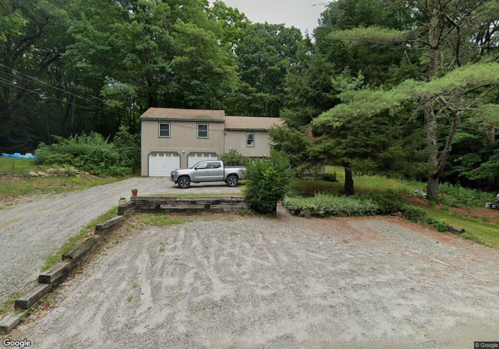
This home is located at 127 Swamp Rd, Epsom, NH 03234 and is currently estimated at $422,164, approximately $220 per square foot. 127 Swamp Rd is a home located in Merrimack County with nearby schools including Epsom Central School, Epsom Better Buddies, and Cornerstone Christian Academy.
Ownership History
Date
Name
Owned For
Owner Type
Purchase Details
Closed on
Jun 3, 2016
Sold by
Guild Catherine L
Bought by
Guild Catherine L and Guild Jared R
Current Estimated Value
Purchase Details
Closed on
May 27, 2014
Sold by
Guild Catherine L and Guild Jared R
Bought by
Guild Catherine L
Create a Home Valuation Report for This Property
The Home Valuation Report is an in-depth analysis detailing your home's value as well as a comparison with similar homes in the area
Home Values in the Area
Average Home Value in this Area
Purchase History
| Date | Buyer | Sale Price | Title Company |
|---|---|---|---|
| Guild Catherine L | -- | -- | |
| Guild Catherine L | -- | -- |
Source: Public Records
Tax History
| Year | Tax Paid | Tax Assessment Tax Assessment Total Assessment is a certain percentage of the fair market value that is determined by local assessors to be the total taxable value of land and additions on the property. | Land | Improvement |
|---|---|---|---|---|
| 2025 | $8,033 | $458,000 | $175,300 | $282,700 |
| 2024 | $6,687 | $251,000 | $96,200 | $154,800 |
| 2023 | $6,182 | $251,000 | $96,200 | $154,800 |
| 2022 | $5,984 | $251,000 | $96,200 | $154,800 |
| 2021 | $5,934 | $251,000 | $96,200 | $154,800 |
| 2020 | $5,479 | $251,000 | $96,200 | $154,800 |
| 2019 | $5,618 | $207,400 | $79,400 | $128,000 |
| 2018 | $5,386 | $207,400 | $79,400 | $128,000 |
| 2017 | $5,324 | $207,400 | $79,400 | $128,000 |
| 2016 | $5,191 | $207,400 | $79,400 | $128,000 |
| 2015 | $4,964 | $208,400 | $79,400 | $129,000 |
| 2014 | $4,125 | $185,300 | $67,400 | $117,900 |
| 2013 | $4,182 | $185,300 | $67,400 | $117,900 |
Source: Public Records
Map
Nearby Homes
- 15 Nash Ln
- 357 New Rye Rd
- 9 Princess Ln
- 6 Lincoln St
- 2 Archer Cir
- 88 Old Town Road Extension
- 7 Pinecrest Cir
- 0 Poor Town Rd Unit 4
- 5 Old Turnpike Rd
- 0 Dover Unit 33 & 35
- 8 Bush Ave
- 157 Old Turnpike Rd
- 1 Jefferson Ave
- 5 Catamount Hill Dr
- 19 Meadow Lark Ln
- 43 Cross Rd
- 1050 Dover Rd
- 245 North Rd
- 821 Cross Country Rd
- 3 Spruce Cove Rd
- 116 Swamp Rd
- 135 Swamp Rd
- 10-1 Sanborn Hill Rd
- 19 Sanborn Hill Rd
- 23 Sanborn Hill Rd
- 29 Sanborn Hill Rd
- 40 Sanborn Hill Rd
- 157 Swamp Rd
- 39 Sanborn Hill Rd
- 95 Swamp Rd
- 55 Sanborn Hill Rd
- 184 Swamp Rd
- 00 Munroe Rd
- 0 Munroe Rd
- 191 Swamp Rd
- 196 Swamp Rd
- 204 Swamp Rd
- 92 Munroe Rd
- 85 Sanborn Hill Rd
- 214 Swamp Rd
Your Personal Tour Guide
Ask me questions while you tour the home.