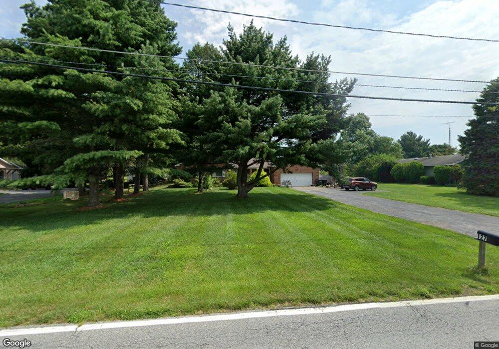
127 Taylors Bridge Rd Townsend, DE 19734
Estimated Value: $432,000 - $529,000
3
Beds
2
Baths
1,942
Sq Ft
$245/Sq Ft
Est. Value
About This Home
This home is located at 127 Taylors Bridge Rd, Townsend, DE 19734 and is currently estimated at $475,786, approximately $244 per square foot. 127 Taylors Bridge Rd is a home located in New Castle County with nearby schools including Old State Elementary School, Cantwell's Bridge Middle School, and Odessa High School.
Ownership History
Date
Name
Owned For
Owner Type
Purchase Details
Closed on
Nov 25, 2024
Sold by
Schulz Barbara Ann M
Bought by
Schulz Barbara Ann M and Schulz David
Current Estimated Value
Purchase Details
Closed on
Sep 1, 1977
Bought by
Schulz Karl H and Barbara Ann
Create a Home Valuation Report for This Property
The Home Valuation Report is an in-depth analysis detailing your home's value as well as a comparison with similar homes in the area
Home Values in the Area
Average Home Value in this Area
Purchase History
| Date | Buyer | Sale Price | Title Company |
|---|---|---|---|
| Schulz Barbara Ann M | -- | None Listed On Document | |
| Schulz Barbara Ann M | -- | None Listed On Document | |
| Schulz Karl H | $8,500 | -- |
Source: Public Records
Tax History Compared to Growth
Tax History
| Year | Tax Paid | Tax Assessment Tax Assessment Total Assessment is a certain percentage of the fair market value that is determined by local assessors to be the total taxable value of land and additions on the property. | Land | Improvement |
|---|---|---|---|---|
| 2024 | $3,357 | $100,100 | $15,800 | $84,300 |
| 2023 | $2,746 | $100,100 | $15,800 | $84,300 |
| 2022 | $2,756 | $100,100 | $15,800 | $84,300 |
| 2021 | $2,810 | $100,100 | $15,800 | $84,300 |
| 2020 | $2,770 | $100,100 | $15,800 | $84,300 |
| 2019 | $2,513 | $100,100 | $15,800 | $84,300 |
| 2018 | $2,411 | $100,100 | $15,800 | $84,300 |
| 2017 | $2,299 | $100,100 | $15,800 | $84,300 |
| 2016 | $1,941 | $100,100 | $15,800 | $84,300 |
| 2015 | $1,864 | $100,100 | $15,800 | $84,300 |
| 2014 | $1,858 | $100,100 | $15,800 | $84,300 |
Source: Public Records
Map
Nearby Homes
- 642 Corbit Dr
- 30 Cantwell Dr
- 1 Appoquin Dr N
- 506 Aviemore Dr
- 208 Aberdeen Way
- 604 Ravenglass Dr
- 130 Lynemore Dr
- 1143 Kayla Ln
- TBD 3363 Harris Rd
- 1019 Robinson Rd
- 1020 Robinson Rd
- 1027 Robinson Rd
- 101 Wedge Ct
- 1064 Robinson Rd Unit LAKELAND PLAN
- 1068 Robinson Rd Unit DELRAY PLAN
- 1066 Robinson Rd Unit PEMBROOK PLAN
- 1062 Robinson Rd Unit WHITFIELD RANCH PLAN
- 1060 Robinson Rd Unit WHITFIELD PLAN
- 220 Camerton Ln
- 660 Courtly Rd
- 133 Taylors Bridge Rd
- 121 Taylors Bridge Rd
- 139 Taylors Bridge Rd
- 145 Taylors Bridge Rd
- 110 Thomas Landing Rd
- 120 Thomas Landing Rd
- 151 Taylors Bridge Rd
- 104 Thomas Landing Rd
- 124 Thomas Landing Rd
- 105 New
- 130 Thomas Landing Rd
- 130 Thomas Landing Rd
- 103 New
- 136 Thomas Landing Rd
- 155 Taylors Bridge Rd
- 101 New
- 77 Cantwell Dr
- 75 Cantwell Dr
- 73 Cantwell Dr
- 140 Thomas Landing Rd