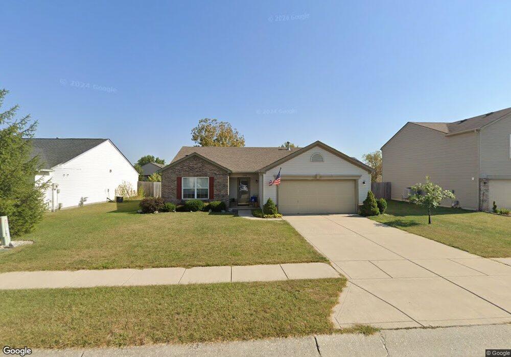
1270 Spring Lake Dr Brownsburg, IN 46112
Estimated Value: $260,000 - $290,000
3
Beds
2
Baths
1,532
Sq Ft
$181/Sq Ft
Est. Value
About This Home
This home is located at 1270 Spring Lake Dr, Brownsburg, IN 46112 and is currently estimated at $277,114, approximately $180 per square foot. 1270 Spring Lake Dr is a home located in Hendricks County with nearby schools including Lincoln Elementary, Brownsburg East Middle School, and Brownsburg High School.
Ownership History
Date
Name
Owned For
Owner Type
Purchase Details
Closed on
Nov 3, 2017
Sold by
Heaston Jeffrey L
Bought by
Heaston Trust
Current Estimated Value
Purchase Details
Closed on
May 7, 2008
Sold by
Secretary Of Hud
Bought by
Heaston Ronald J and Heaston Sharon L
Purchase Details
Closed on
Dec 6, 2007
Sold by
Williams Michael A and Williams Latoya
Bought by
U S Bak Na
Create a Home Valuation Report for This Property
The Home Valuation Report is an in-depth analysis detailing your home's value as well as a comparison with similar homes in the area
Home Values in the Area
Average Home Value in this Area
Purchase History
| Date | Buyer | Sale Price | Title Company |
|---|---|---|---|
| Heaston Trust | -- | -- | |
| Heaston Jeffrey L | -- | -- | |
| Heaston Ronald J | -- | None Available | |
| U S Bak Na | -- | None Available |
Source: Public Records
Tax History Compared to Growth
Tax History
| Year | Tax Paid | Tax Assessment Tax Assessment Total Assessment is a certain percentage of the fair market value that is determined by local assessors to be the total taxable value of land and additions on the property. | Land | Improvement |
|---|---|---|---|---|
| 2024 | $1,836 | $220,800 | $44,900 | $175,900 |
| 2023 | $1,800 | $202,800 | $40,400 | $162,400 |
| 2022 | $1,765 | $176,500 | $40,400 | $136,100 |
| 2021 | $1,474 | $154,100 | $38,100 | $116,000 |
| 2020 | $1,310 | $144,400 | $38,100 | $106,300 |
| 2019 | $1,244 | $138,300 | $36,300 | $102,000 |
| 2018 | $1,243 | $138,000 | $36,300 | $101,700 |
| 2017 | $1,000 | $131,600 | $34,600 | $97,000 |
| 2016 | $981 | $128,500 | $34,600 | $93,900 |
| 2014 | $943 | $120,000 | $32,000 | $88,000 |
Source: Public Records
Map
Nearby Homes
- 961 Pine Ridge Way
- 1303 Gable Lake Dr
- 821 Harvest Lake Dr
- 805 Wild Lake Cir
- 1113 River Ridge Dr
- 1280 Summer Ridge Ln
- 1284 Summer Ridge Ln
- 543 N Odell St
- 1327 Blue Ridge Ln
- Wexford Plan at Forest Hill
- 6863 Black Cherry Terrace
- 609 Roberta Ct
- 725 Hawthorne Ln
- 1208 Brittany Cir Unit A
- 6905 Black Willow Ln
- 1202 Whittington Dr
- 1208 Whittington Dr
- 6929 Hornbeam Cir
- 541 Eagle Crest Dr
- 8570 Hudson Way
- 1268 Spring Lake Dr
- 1272 Spring Lake Dr
- 944 Needle Ridge Ln
- 1274 Spring Lake Dr
- 954 Needle Ridge Ln
- 934 Needle Ridge Ln
- 1253 Spring Lake Dr
- 964 Needle Ridge Ln
- 1251 Spring Lake Dr
- 1255 Spring Lake Dr
- 1264 Spring Lake Dr
- 1276 Spring Lake Dr
- 924 Needle Ridge Ln
- 1249 Spring Lake Dr
- 1257 Spring Lake Dr
- 974 Needle Ridge Ln
- 1247 Spring Lake Dr
- 1278 Spring Lake Dr
- 1259 Spring Lake Dr
- 1262 Spring Lake Dr