12700 Dodd Blvd Rosemount, MN 55068
Estimated Value: $619,000 - $792,000
3
Beds
3
Baths
1,538
Sq Ft
$455/Sq Ft
Est. Value
About This Home
This home is located at 12700 Dodd Blvd, Rosemount, MN 55068 and is currently estimated at $699,311, approximately $454 per square foot. 12700 Dodd Blvd is a home located in Dakota County with nearby schools including Red Pine Elementary School, Rosemount Middle School, and Rosemount Senior High School.
Ownership History
Date
Name
Owned For
Owner Type
Purchase Details
Closed on
Nov 13, 2018
Sold by
Scarpari Paul R and Scarpari Jill A
Bought by
Boesen Pavane E and Boesen Sonya
Current Estimated Value
Home Financials for this Owner
Home Financials are based on the most recent Mortgage that was taken out on this home.
Original Mortgage
$348,000
Outstanding Balance
$305,370
Interest Rate
4.7%
Mortgage Type
New Conventional
Estimated Equity
$393,941
Create a Home Valuation Report for This Property
The Home Valuation Report is an in-depth analysis detailing your home's value as well as a comparison with similar homes in the area
Home Values in the Area
Average Home Value in this Area
Purchase History
| Date | Buyer | Sale Price | Title Company |
|---|---|---|---|
| Boesen Pavane E | $435,000 | Trademark Title Services Inc |
Source: Public Records
Mortgage History
| Date | Status | Borrower | Loan Amount |
|---|---|---|---|
| Open | Boesen Pavane E | $348,000 |
Source: Public Records
Tax History
| Year | Tax Paid | Tax Assessment Tax Assessment Total Assessment is a certain percentage of the fair market value that is determined by local assessors to be the total taxable value of land and additions on the property. | Land | Improvement |
|---|---|---|---|---|
| 2024 | $7,750 | $704,700 | $303,500 | $401,200 |
| 2023 | $7,750 | $680,700 | $306,800 | $373,900 |
| 2022 | $6,410 | $665,100 | $305,600 | $359,500 |
| 2021 | $6,064 | $554,300 | $277,300 | $277,000 |
| 2020 | $6,158 | $518,400 | $264,100 | $254,300 |
| 2019 | $5,984 | $507,700 | $251,500 | $256,200 |
| 2018 | $5,839 | $514,200 | $239,600 | $274,600 |
| 2017 | $5,607 | $486,900 | $228,300 | $258,600 |
| 2016 | $5,529 | $446,900 | $222,500 | $224,400 |
| 2015 | $5,270 | $431,600 | $216,000 | $215,600 |
| 2014 | -- | $409,769 | $204,235 | $205,534 |
| 2013 | -- | $388,187 | $187,977 | $200,210 |
Source: Public Records
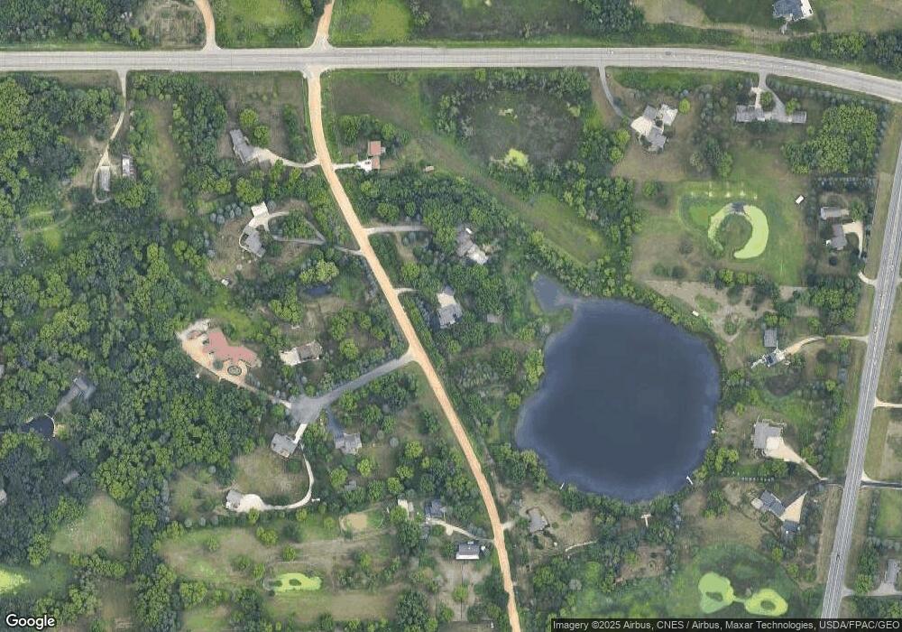
Map
Nearby Homes
- 2903 125th Ct W
- 12470 Blanca Ave W
- 13341 Cadogan Way
- 13351 Cadogan Way
- 13371 Cadogan Way
- 13360 Cadogan Way
- 13381 Cadogan Way
- 13370 Cadogan Way
- 13380 Cadogan Way
- 4982 Dodd Rd
- 4951 Parkside Cir
- 4978 Dodd Rd
- 4950 Parkside Cir
- 4938 Parkside Cir
- 4928 Parkside Cir
- 4927 Parkside Cir
- 4955 Parkside Cir
- 636 Parkside Ct
- 631 Parkside Ct
- 637 Remington Ct
- 12610 Dodd Blvd
- 12645 Dodd Ct
- 12685 Dodd Ct
- 12540 Dodd Blvd
- 12761 Dodd Blvd
- 12675 Dodd Ct
- 12675 Dodd Ct
- 12595 Dodd Blvd
- 12790 Dodd Blvd
- 12665 Dodd Ct
- 12535 Dodd Blvd
- 2990 McAndrews Rd
- 12725 S Robert Trail
- 12675 S Robert Trail
- 2890 McAndrews Rd
- xxxy 125th Ct
- 2860 125th Ct W
- 3295 127th Ct W
- 12890 Charlston Ct
- 12795 S Robert Trail
Your Personal Tour Guide
Ask me questions while you tour the home.