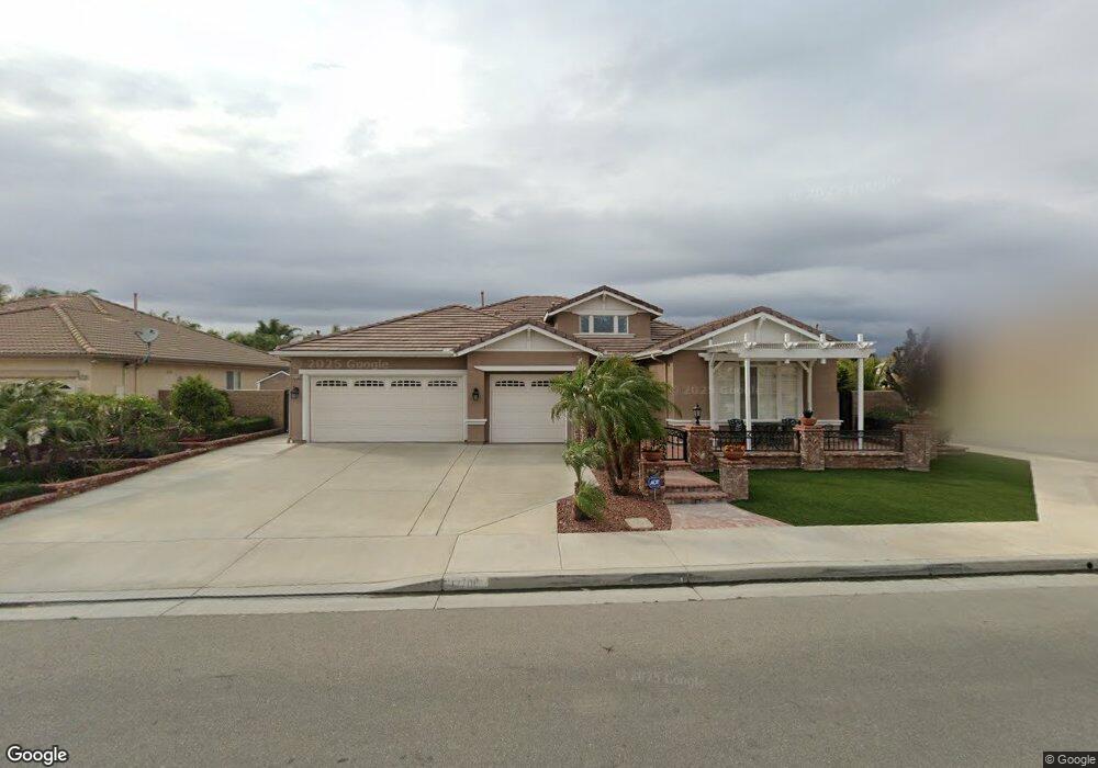
12708 Silas Phelps Dr Corona, CA 92880
Estimated Value: $863,604 - $926,000
4
Beds
3
Baths
2,655
Sq Ft
$342/Sq Ft
Est. Value
About This Home
This home is located at 12708 Silas Phelps Dr, Corona, CA 92880 and is currently estimated at $908,651, approximately $342 per square foot. 12708 Silas Phelps Dr is a home located in Riverside County with nearby schools including Harada Elementary School, River Heights Intermediate School, and Eleanor Roosevelt High School.
Ownership History
Date
Name
Owned For
Owner Type
Purchase Details
Closed on
Aug 19, 2019
Sold by
Stockhausen Dennis R and Stockhausen Donna M
Bought by
Stockhausen Dennis R and Stockhausen Donna
Current Estimated Value
Purchase Details
Closed on
Jul 12, 2001
Sold by
Regent Norco Llc
Bought by
Stockhausen Dennis R and Stockhausen Donna M
Home Financials for this Owner
Home Financials are based on the most recent Mortgage that was taken out on this home.
Original Mortgage
$85,000
Interest Rate
7.11%
Create a Home Valuation Report for This Property
The Home Valuation Report is an in-depth analysis detailing your home's value as well as a comparison with similar homes in the area
Home Values in the Area
Average Home Value in this Area
Purchase History
| Date | Buyer | Sale Price | Title Company |
|---|---|---|---|
| Stockhausen Dennis R | -- | None Available | |
| Stockhausen Dennis R | $265,000 | Stewart Title |
Source: Public Records
Mortgage History
| Date | Status | Borrower | Loan Amount |
|---|---|---|---|
| Previous Owner | Stockhausen Dennis R | $85,000 |
Source: Public Records
Tax History
| Year | Tax Paid | Tax Assessment Tax Assessment Total Assessment is a certain percentage of the fair market value that is determined by local assessors to be the total taxable value of land and additions on the property. | Land | Improvement |
|---|---|---|---|---|
| 2025 | $6,548 | $395,716 | $103,395 | $292,321 |
| 2023 | $6,548 | $380,352 | $99,381 | $280,971 |
| 2022 | $6,370 | $372,895 | $97,433 | $275,462 |
| 2021 | $6,246 | $365,584 | $95,523 | $270,061 |
| 2020 | $6,163 | $361,836 | $94,544 | $267,292 |
| 2019 | $6,047 | $354,742 | $92,691 | $262,051 |
| 2018 | $5,915 | $347,787 | $90,875 | $256,912 |
| 2017 | $5,789 | $340,969 | $89,094 | $251,875 |
| 2016 | $5,692 | $334,285 | $87,348 | $246,937 |
| 2015 | $5,594 | $329,266 | $86,037 | $243,229 |
| 2014 | $5,421 | $322,817 | $84,352 | $238,465 |
Source: Public Records
Map
Nearby Homes
- 12679 Silas Phelps Dr
- 5597 Cambria Dr
- 4068 E Amigos Privado
- 5737 Annandale Place
- 5800 Hamner Ave Unit 178
- 5800 Hamner Ave Unit 447
- 5800 Hamner Ave Unit 416
- 5800 Hamner Ave Unit 660
- 5800 Hamner Ave Unit 159
- 5800 Hamner Ave Unit 387
- 5800 Hamner Ave Unit 72
- 5800 Hamner Ave Unit 156
- 5800 Hamner Ave Unit 197
- 5800 Hamner Ave Unit 601
- 5800 Hamner Ave Unit 236
- 5800 Hamner Ave Unit 568
- 416 Hamner Ave
- 4224 E Sonrisa Privado
- 4253 E Sonrisa Privado
- 3975 E Fincastle St
- 12720 Silas Phelps Dr
- 5735 Raft Cir
- 12732 Silas Phelps Dr
- 5744 Raft Cir
- 12703 Silas Phelps Dr
- 5732 Raft Cir
- 5729 Raft Cir
- 12715 Silas Phelps Dr
- 5740 Mark Twain Ct
- 12691 Silas Phelps Dr
- 5734 Mark Twain Ct
- 12744 Silas Phelps Dr
- 12727 Silas Phelps Dr
- 5726 Raft Cir
- 5723 Raft Cir
- 5728 Mark Twain Ct
- 5745 Peter Wilks Ct
- 12739 Silas Phelps Dr
- 12698 Amberhill Ave
- 12686 Amberhill Ave
Your Personal Tour Guide
Ask me questions while you tour the home.