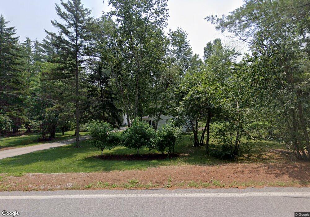
1271 Smyth Rd Hooksett, NH 03106
Estimated Value: $506,000 - $588,000
5
Beds
1
Bath
1,504
Sq Ft
$361/Sq Ft
Est. Value
About This Home
This home is located at 1271 Smyth Rd, Hooksett, NH 03106 and is currently estimated at $543,627, approximately $361 per square foot. 1271 Smyth Rd is a home located in Merrimack County with nearby schools including Fred C. Underhill School, Hooksett Memorial School, and David R. Cawley Middle School.
Ownership History
Date
Name
Owned For
Owner Type
Purchase Details
Closed on
Jun 14, 2011
Sold by
Cote Ronald K and Cote Rita
Bought by
Daskal Stephanie J and Daskal Thomas G
Current Estimated Value
Home Financials for this Owner
Home Financials are based on the most recent Mortgage that was taken out on this home.
Original Mortgage
$162,000
Outstanding Balance
$112,618
Interest Rate
4.81%
Mortgage Type
Purchase Money Mortgage
Estimated Equity
$431,009
Create a Home Valuation Report for This Property
The Home Valuation Report is an in-depth analysis detailing your home's value as well as a comparison with similar homes in the area
Home Values in the Area
Average Home Value in this Area
Purchase History
| Date | Buyer | Sale Price | Title Company |
|---|---|---|---|
| Daskal Stephanie J | $202,500 | -- |
Source: Public Records
Mortgage History
| Date | Status | Borrower | Loan Amount |
|---|---|---|---|
| Open | Daskal Stephanie J | $162,000 |
Source: Public Records
Tax History Compared to Growth
Tax History
| Year | Tax Paid | Tax Assessment Tax Assessment Total Assessment is a certain percentage of the fair market value that is determined by local assessors to be the total taxable value of land and additions on the property. | Land | Improvement |
|---|---|---|---|---|
| 2024 | $6,100 | $359,688 | $120,088 | $239,600 |
| 2023 | $5,748 | $359,688 | $120,088 | $239,600 |
| 2022 | $5,031 | $209,188 | $82,388 | $126,800 |
| 2021 | $4,648 | $209,188 | $82,388 | $126,800 |
| 2020 | $4,544 | $201,888 | $82,388 | $119,500 |
| 2019 | $4,351 | $201,888 | $82,388 | $119,500 |
| 2018 | $4,467 | $201,928 | $82,428 | $119,500 |
| 2017 | $4,549 | $170,109 | $80,109 | $90,000 |
| 2016 | $4,489 | $170,109 | $80,109 | $90,000 |
| 2015 | $4,205 | $170,090 | $80,090 | $90,000 |
| 2014 | $4,223 | $170,090 | $80,090 | $90,000 |
| 2013 | $3,994 | $170,109 | $80,109 | $90,000 |
Source: Public Records
Map
Nearby Homes
- 15 Johns Dr
- 13 Johns Dr
- 135 Brookview Dr
- 29 Golden Gate Dr
- 18 Cindy Dr
- 534 Fox Hollow Way
- TBD Wellington Rd
- 126 Mammoth Rd Unit 1
- 136 Mammoth Rd Unit 628
- 128 Mammoth Rd Unit 122
- 162 Tiffany Ln
- 50 Edward J Roy Dr Unit 50
- 22 Sunrise Cir
- 265 Edward J Roy Dr Unit 207
- 45 Leonard Ave
- 100 Dartmouth Dr Unit Lot 8
- 192 Karatzas Ave
- 312 Whittington St
- 80 Dartmouth Dr Unit 9
- 90 Karatzas Ave
- 1267 Smyth Rd
- 1267 Smyth Rd Unit A
- 1278 Smyth Rd
- 1265 Smyth Rd
- 1282 Smyth Rd
- 1275 Smyth Rd
- 1274 Smyth Rd
- 1284 Smyth Rd
- 1279 Smyth Rd
- 1257 Smyth Rd
- 1281 Smyth Rd
- 6 Prescott Heights Rd
- 8 Prescott Heights Rd
- 4 Prescott Heights Rd
- 1283 Smyth Rd
- 1291 Smyth Rd
- 1253 Smyth Rd
- 1289 Smyth Rd
- 1266 Smyth Rd
- 1 Prescott Heights Rd