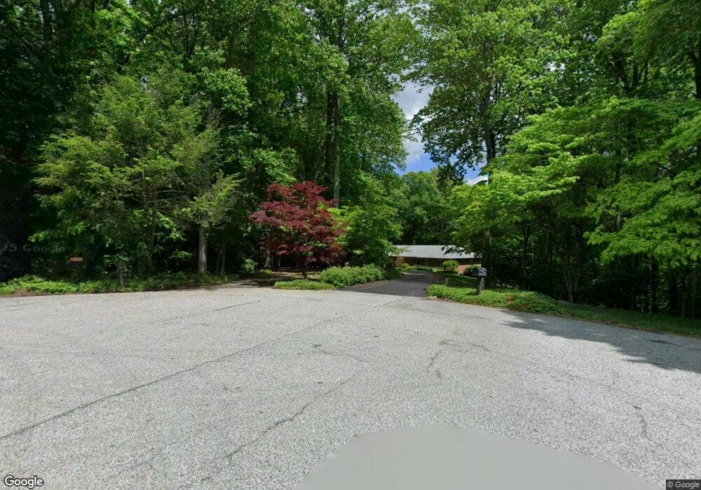
12710 Carronade Ct Dunkirk, MD 20754
Estimated Value: $695,621 - $879,000
Studio
3
Baths
2,690
Sq Ft
$292/Sq Ft
Est. Value
About This Home
This home is located at 12710 Carronade Ct, Dunkirk, MD 20754 and is currently estimated at $786,405, approximately $292 per square foot. 12710 Carronade Ct is a home located in Calvert County with nearby schools including Windy Hill Elementary School, Northern Middle School, and Northern High School.
Ownership History
Date
Name
Owned For
Owner Type
Purchase Details
Closed on
Feb 2, 2018
Sold by
Smith Everett R and Smith Susan M
Bought by
Smith Everett R and Mcneill Smith Susan M
Current Estimated Value
Home Financials for this Owner
Home Financials are based on the most recent Mortgage that was taken out on this home.
Original Mortgage
$415,000
Outstanding Balance
$351,467
Interest Rate
3.99%
Mortgage Type
New Conventional
Estimated Equity
$434,938
Purchase Details
Closed on
Jan 3, 1996
Sold by
Ladd Richard B and Ladd Edith A
Bought by
Smith Everett R and Smith Dorothy R
Purchase Details
Closed on
Jan 13, 1986
Sold by
Key Federal Savings & Loan Assoc
Bought by
Ladd Richard B and Ladd Edith A
Home Financials for this Owner
Home Financials are based on the most recent Mortgage that was taken out on this home.
Original Mortgage
$171,000
Interest Rate
10.77%
Create a Home Valuation Report for This Property
The Home Valuation Report is an in-depth analysis detailing your home's value as well as a comparison with similar homes in the area
Home Values in the Area
Average Home Value in this Area
Purchase History
We collect this data history from publicly available records. To have your information removed, we recommend requesting removal directly through your county’s website.
| Date | Buyer | Sale Price | Title Company |
|---|---|---|---|
| Smith Everett R | -- | Multiple | |
| Smith Everett R | $439,900 | -- | |
| Ladd Richard B | $45,000 | -- |
Source: Public Records
Mortgage History
We collect this data history from publicly available records. To have your information removed, we recommend requesting removal directly through your county’s website.
| Date | Status | Borrower | Loan Amount |
|---|---|---|---|
| Open | Smith Everett R | $415,000 | |
| Previous Owner | Ladd Richard B | $171,000 | |
| Closed | Smith Everett R | -- |
Source: Public Records
Tax History
| Year | Tax Paid | Tax Assessment Tax Assessment Total Assessment is a certain percentage of the fair market value that is determined by local assessors to be the total taxable value of land and additions on the property. | Land | Improvement |
|---|---|---|---|---|
| 2025 | $7,731 | $695,900 | $224,200 | $471,700 |
| 2024 | $7,287 | $655,233 | $0 | $0 |
| 2023 | $6,599 | $614,567 | $0 | $0 |
| 2022 | $6,174 | $573,900 | $224,200 | $349,700 |
| 2021 | $5,743 | $552,167 | $0 | $0 |
| 2020 | $5,743 | $530,433 | $0 | $0 |
| 2019 | $5,538 | $508,700 | $224,200 | $284,500 |
| 2018 | $5,525 | $508,700 | $224,200 | $284,500 |
| 2017 | $5,599 | $508,700 | $0 | $0 |
| 2016 | -- | $513,900 | $0 | $0 |
| 2015 | $5,429 | $513,900 | $0 | $0 |
| 2014 | $5,429 | $513,900 | $0 | $0 |
Source: Public Records
Map
Nearby Homes
- 12651 Vigilant Ct
- 6340 Mckendree Rd
- 12441 Uncle Charlies Spur
- 6299 Mckendree Rd
- 12732 Legacy Dr
- 1458 Knight Ave
- 461 Jewell Rd
- 6353 Audubon Ct
- 12675 Perrywood Ln
- 276 Southdale Ct
- 6118 Fishers Station Rd
- 6310 Woodcrest Dr
- 1475 W Chesapeake Beach Rd
- 2950 Chaney Rd
- 3050 Hickory Ridge Rd
- 65 Cob Ct
- 212 W Bay Front Rd
- 249 Jaguar Dr
- 5705 Iron Stone Rd
- 6095 Solomons Island Rd
- 12731 Carronade Ct
- 12720 Carronade Ct
- 1750 S Plantation Dr
- 1730 S Plantation Dr
- 12761 Carronade Ct
- 1710 S Plantation Dr
- 1770 S Plantation Dr
- 12750 Carronade Ct
- 12791 Carronade Ct
- 1751 S Plantation Dr
- 1711 S Plantation Dr
- 1731 S Plantation Dr
- 1781 S Plantation Dr
- 12760 Carronade Ct
- 12810 Long Gun Dr
- 1820 S Plantation Dr
- 359 Whitetail Dr
- 12820 Long Gun Dr
- 12821 Long Gun Dr
- 12754 Carronade Ct
Your Personal Tour Guide
Ask me questions while you tour the home.