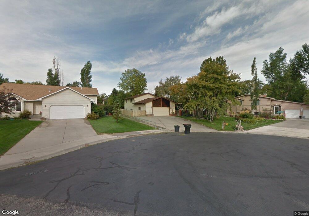
1272 Grubstake Cir Billings, MT 59105
Billings Heights NeighborhoodEstimated Value: $397,000 - $415,291
4
Beds
3
Baths
2,600
Sq Ft
$155/Sq Ft
Est. Value
About This Home
This home is located at 1272 Grubstake Cir, Billings, MT 59105 and is currently estimated at $404,073, approximately $155 per square foot. 1272 Grubstake Cir is a home located in Yellowstone County with nearby schools including Sandstone School, Castle Rock Junior High School, and Skyview High School.
Ownership History
Date
Name
Owned For
Owner Type
Purchase Details
Closed on
Sep 15, 2014
Sold by
Abdel Ghafour Ala A
Bought by
Abdel Ghafour Ala A and Abdel Ghafour Lori A
Current Estimated Value
Home Financials for this Owner
Home Financials are based on the most recent Mortgage that was taken out on this home.
Original Mortgage
$230,743
Outstanding Balance
$174,068
Interest Rate
3.75%
Mortgage Type
FHA
Estimated Equity
$230,005
Create a Home Valuation Report for This Property
The Home Valuation Report is an in-depth analysis detailing your home's value as well as a comparison with similar homes in the area
Home Values in the Area
Average Home Value in this Area
Purchase History
| Date | Buyer | Sale Price | Title Company |
|---|---|---|---|
| Abdel Ghafour Ala A | -- | First Montana Title | |
| Abdel Ghafour Ala A | -- | First Montana Title |
Source: Public Records
Mortgage History
| Date | Status | Borrower | Loan Amount |
|---|---|---|---|
| Open | Abdel Ghafour Ala A | $230,743 |
Source: Public Records
Tax History Compared to Growth
Tax History
| Year | Tax Paid | Tax Assessment Tax Assessment Total Assessment is a certain percentage of the fair market value that is determined by local assessors to be the total taxable value of land and additions on the property. | Land | Improvement |
|---|---|---|---|---|
| 2025 | $3,809 | $393,500 | $70,882 | $322,618 |
| 2024 | $3,809 | $372,500 | $65,796 | $306,704 |
| 2023 | $3,820 | $372,500 | $65,796 | $306,704 |
| 2022 | $3,098 | $260,000 | $0 | $0 |
| 2021 | $3,006 | $267,700 | $0 | $0 |
| 2020 | $3,006 | $256,100 | $0 | $0 |
| 2019 | $2,876 | $256,100 | $0 | $0 |
| 2018 | $2,746 | $238,800 | $0 | $0 |
| 2017 | $2,670 | $238,800 | $0 | $0 |
| 2016 | $2,377 | $212,100 | $0 | $0 |
| 2015 | $2,327 | $212,100 | $0 | $0 |
| 2014 | $1,750 | $101,653 | $0 | $0 |
Source: Public Records
Map
Nearby Homes
- 69 Nugget Place
- 277 Westchester Square S
- 1029 Nutter Blvd
- 1422 Watson Peak Rd
- 1322 Babcock Cir
- 1410 Twin Oaks Dr
- 385 Prospectors Ln
- TBD Saint Andrews Dr
- 1443 Twin Oaks Dr
- 218 Reda Ln Unit 4
- 218 Reda Ln Unit 3
- 225 Windsor Cir N
- 228 Nash Ln
- 475 Republic Ave
- 324 Stewart Ct N
- 1717 Sylvan Ln
- 130 132 Stillwater Ln
- 1017 Toole Cir
- 211 Stillwater Ln
- 1126 Yorktown St
- 1278 Grubstake Cir
- 1266 Grubstake Cir
- 1281 Claim Jumper Ln
- 1291 Claim Jumper Ln
- 1273 Claim Jumper Ln
- 1390 Hardrock Ln
- 1286 Grubstake Cir
- 1370 Hardrock Ln
- 1380 Hardrock Ln
- 1260 Grubstake Cir
- 1360 Hardrock Ln
- 1265 Claim Jumper Ln
- 1271 Grubstake Cir
- 1292 Grubstake Cir
- 1350 Hardrock Ln
- 1281 Grubstake Cir
- 1254 Grubstake Cir
- 1257 Claim Jumper Ln
- 1280 Claim Jumper Ln
- 1290 Claim Jumper Ln