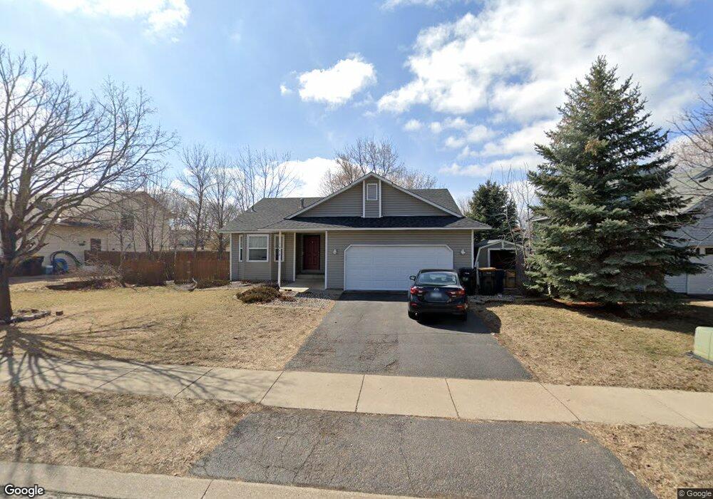
1272 Ruby Ln Shakopee, MN 55379
Estimated Value: $391,000 - $416,000
4
Beds
2
Baths
2,406
Sq Ft
$168/Sq Ft
Est. Value
About This Home
This home is located at 1272 Ruby Ln, Shakopee, MN 55379 and is currently estimated at $403,528, approximately $167 per square foot. 1272 Ruby Ln is a home located in Scott County with nearby schools including Sun Path Elementary School, Shakopee West Middle School, and Shakopee Senior High School.
Ownership History
Date
Name
Owned For
Owner Type
Purchase Details
Closed on
Sep 15, 2021
Sold by
Devon Bank
Bought by
Abdi Fartun Mohamed and Muhumed Dahir Kali
Current Estimated Value
Home Financials for this Owner
Home Financials are based on the most recent Mortgage that was taken out on this home.
Original Mortgage
$566,594
Interest Rate
3.12%
Mortgage Type
Seller Take Back
Purchase Details
Closed on
Apr 9, 2010
Sold by
Petterson Ake P and Petterson Jenna C
Bought by
Hoene Christa and Hoene Michael
Purchase Details
Closed on
Jul 26, 2002
Sold by
Kessler Brad and Kessler Jennifer
Bought by
Pettersson Patrick and Pettersson Jenna
Create a Home Valuation Report for This Property
The Home Valuation Report is an in-depth analysis detailing your home's value as well as a comparison with similar homes in the area
Home Values in the Area
Average Home Value in this Area
Purchase History
| Date | Buyer | Sale Price | Title Company |
|---|---|---|---|
| Abdi Fartun Mohamed | $500 | None Listed On Document | |
| Bank Devon | $380,000 | Titlesmart Inc | |
| Hoene Christa | $235,000 | -- | |
| Pettersson Patrick | $229,000 | -- |
Source: Public Records
Mortgage History
| Date | Status | Borrower | Loan Amount |
|---|---|---|---|
| Previous Owner | Abdi Fartun Mohamed | $566,594 |
Source: Public Records
Tax History
| Year | Tax Paid | Tax Assessment Tax Assessment Total Assessment is a certain percentage of the fair market value that is determined by local assessors to be the total taxable value of land and additions on the property. | Land | Improvement |
|---|---|---|---|---|
| 2025 | $4,002 | $383,400 | $162,900 | $220,500 |
| 2024 | $4,036 | $384,700 | $162,900 | $221,800 |
| 2023 | $4,294 | $378,500 | $159,700 | $218,800 |
| 2022 | $4,168 | $395,700 | $159,700 | $236,000 |
| 2021 | $3,710 | $331,300 | $130,500 | $200,800 |
| 2020 | $4,002 | $319,000 | $117,000 | $202,000 |
| 2019 | $3,732 | $302,200 | $98,100 | $204,100 |
| 2018 | $3,298 | $0 | $0 | $0 |
| 2016 | $3,248 | $0 | $0 | $0 |
| 2014 | -- | $0 | $0 | $0 |
Source: Public Records
Map
Nearby Homes
- 1928 Vierling Dr E
- 1944 Davis Ct
- 2027 Brittany Ct
- 2039 Brittany Ct
- 1076 Sibley St S
- 1819 Mockingbird Ave
- 1820 Mockingbird Ave
- 2066 Mockingbird Ave
- 951 Swift St S
- 1596 Chartreux Ave
- 2574 Vierling Dr E
- 2375 Tyrone Dr
- 2423 Tyrone Dr
- 2447 Tyrone Dr
- 1646 Chadum Ln
- 1724 Weston Ln Unit 84
- 1227 Elmwood Ave Unit 85
- 2006 Tyrone Dr
- 1035 Providence Dr
- 1022 Providence Dr
Your Personal Tour Guide
Ask me questions while you tour the home.