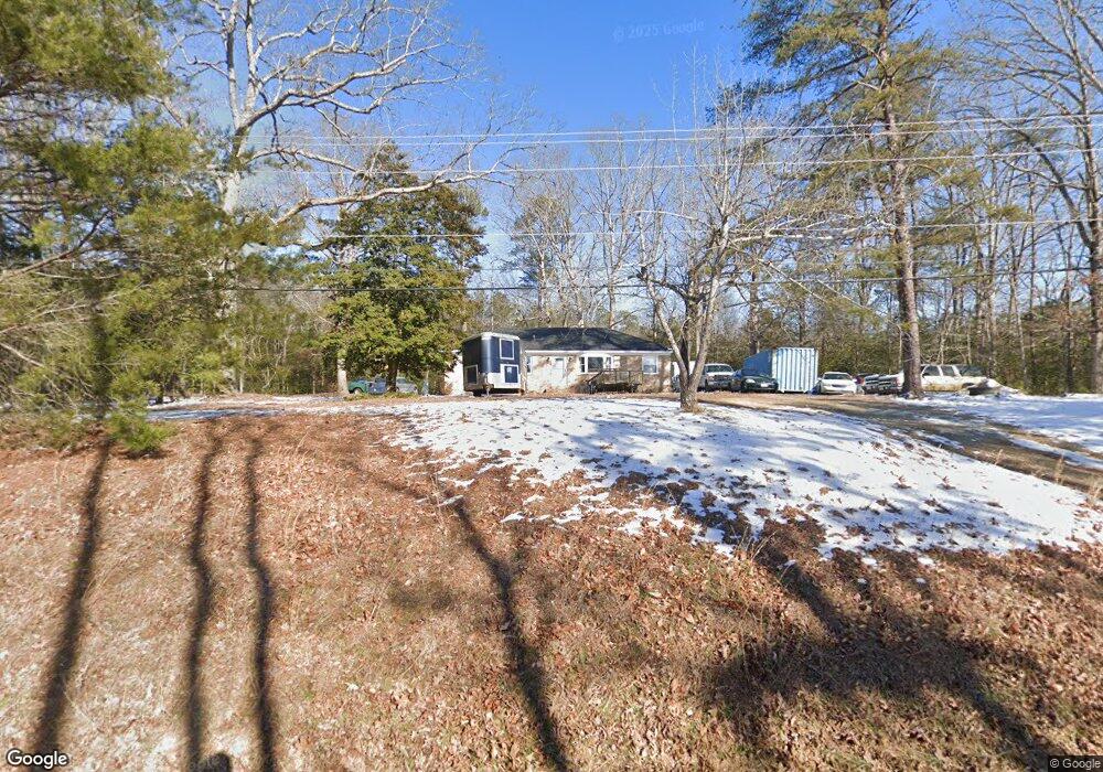
12720 New Kent Hwy Unit A Lanexa, VA 23089
Estimated Value: $319,262 - $425,000
3
Beds
1
Bath
1,307
Sq Ft
$281/Sq Ft
Est. Value
About This Home
This home is located at 12720 New Kent Hwy Unit A, Lanexa, VA 23089 and is currently estimated at $367,421, approximately $281 per square foot. 12720 New Kent Hwy Unit A is a home located in New Kent County with nearby schools including New Kent High School.
Ownership History
Date
Name
Owned For
Owner Type
Purchase Details
Closed on
Mar 7, 2025
Sold by
Crump Joe Louis
Bought by
Crump William
Current Estimated Value
Home Financials for this Owner
Home Financials are based on the most recent Mortgage that was taken out on this home.
Original Mortgage
$156,000
Interest Rate
6.5%
Mortgage Type
New Conventional
Create a Home Valuation Report for This Property
The Home Valuation Report is an in-depth analysis detailing your home's value as well as a comparison with similar homes in the area
Home Values in the Area
Average Home Value in this Area
Purchase History
| Date | Buyer | Sale Price | Title Company |
|---|---|---|---|
| Crump William | $120,000 | Fidelity National Title |
Source: Public Records
Mortgage History
| Date | Status | Borrower | Loan Amount |
|---|---|---|---|
| Previous Owner | Crump William | $156,000 |
Source: Public Records
Tax History Compared to Growth
Tax History
| Year | Tax Paid | Tax Assessment Tax Assessment Total Assessment is a certain percentage of the fair market value that is determined by local assessors to be the total taxable value of land and additions on the property. | Land | Improvement |
|---|---|---|---|---|
| 2025 | $1,697 | $282,900 | $131,400 | $151,500 |
| 2024 | $1,669 | $282,900 | $131,400 | $151,500 |
| 2023 | $1,583 | $236,200 | $88,200 | $148,000 |
| 2022 | $1,583 | $236,200 | $88,200 | $148,000 |
| 2021 | $1,490 | $188,600 | $70,300 | $118,300 |
| 2020 | $1,490 | $188,600 | $70,300 | $118,300 |
| 2019 | $1,442 | $175,800 | $57,900 | $117,900 |
| 2018 | $1,442 | $175,800 | $57,900 | $117,900 |
| 2017 | $1,426 | $171,800 | $57,900 | $113,900 |
| 2016 | $1,426 | $171,800 | $57,900 | $113,900 |
| 2015 | $1,366 | $162,600 | $57,700 | $104,900 |
| 2014 | -- | $162,600 | $57,700 | $104,900 |
Source: Public Records
Map
Nearby Homes
- 7713 Leeds Castle Ln
- 000 Clarke Rd
- TBD Clarke Rd
- 7000 Oakfork Loop
- 5950 Brickshire Dr
- 5720 Chaucer Dr
- 5570 Tyshire Pkwy
- 11451 Royal Ln
- 11121 Royal Ln
- 5461 Tyshire Pkwy
- 5540 Brickshire Dr
- 11955 Pergola Ct
- 00 Old Camp Rd
- McDowell Plan at Brickshire
- Roanoke Plan at Brickshire
- Oxford Plan at Brickshire
- Drexel Plan at Brickshire
- Cypress Plan at Brickshire
- Colfax Plan at Brickshire
- Davidson Plan at Brickshire
- 12773 Cooks Mill Rd
- TBD (Lot 16) Cooks Mill Rd
- 00 Cooks Mill Rd
- 0000 Cooks Mill Rd
- 12639 New Kent Hwy
- 12777 Cooks Mill Rd
- 12600 Cooks Mill Rd
- 12700 Cooks Mill Rd
- 12774 Cooks Mill Rd
- 12637 New Kent Hwy
- 12880 New Kent Hwy Unit B
- 12560 Cooks Mill Rd
- 7551 Shooter Run Rd
- 12601 New Kent Hwy
- 12550 Cooks Mill Rd
- 0000 Off New Kent Hwy
- 0 Off New Kent Hwy Unit 2938087
- 000 Off New Kent Hwy
- OFF New Kent Hwy
- 0 Off New Kent Hwy Unit 1510998