Estimated Value: $779,000 - $992,000
3
Beds
2
Baths
1,631
Sq Ft
$530/Sq Ft
Est. Value
About This Home
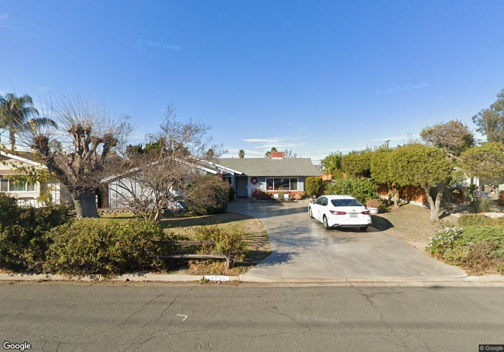
This home is located at 12734 Tustin St, Poway, CA 92064 and is currently estimated at $864,454, approximately $530 per square foot. 12734 Tustin St is a home located in San Diego County with nearby schools including Valley Elementary School, Meadowbrook Middle, and Poway High.
Ownership History
Date
Name
Owned For
Owner Type
Purchase Details
Closed on
Aug 19, 2015
Sold by
Derr Darreck Lindsay and Derr Elizabeth Ann
Bought by
The Elizabeth Anne Derr & Darreck Lindsa
Current Estimated Value
Purchase Details
Closed on
Apr 16, 1996
Sold by
Baker Barbara A and Harding William
Bought by
Derr Darreck Lindsay and Derr Elizabeth Anne
Purchase Details
Closed on
Oct 29, 1986
Create a Home Valuation Report for This Property
The Home Valuation Report is an in-depth analysis detailing your home's value as well as a comparison with similar homes in the area
Home Values in the Area
Average Home Value in this Area
Purchase History
| Date | Buyer | Sale Price | Title Company |
|---|---|---|---|
| The Elizabeth Anne Derr & Darreck Lindsa | -- | None Available | |
| Derr Darreck Lindsay | $156,000 | Southland Title | |
| -- | $109,600 | -- |
Source: Public Records
Tax History
| Year | Tax Paid | Tax Assessment Tax Assessment Total Assessment is a certain percentage of the fair market value that is determined by local assessors to be the total taxable value of land and additions on the property. | Land | Improvement |
|---|---|---|---|---|
| 2025 | $2,487 | $224,235 | $99,659 | $124,576 |
| 2024 | $2,487 | $219,839 | $97,705 | $122,134 |
| 2023 | $2,433 | $215,530 | $95,790 | $119,740 |
| 2022 | $2,392 | $211,305 | $93,912 | $117,393 |
| 2021 | $2,361 | $207,163 | $92,071 | $115,092 |
| 2020 | $2,329 | $205,039 | $91,127 | $113,912 |
| 2019 | $2,270 | $201,020 | $89,341 | $111,679 |
| 2018 | $2,206 | $197,080 | $87,590 | $109,490 |
| 2017 | $171 | $193,217 | $85,873 | $107,344 |
| 2016 | $2,102 | $189,430 | $84,190 | $105,240 |
| 2015 | $2,071 | $186,586 | $82,926 | $103,660 |
| 2014 | $2,024 | $182,932 | $81,302 | $101,630 |
Source: Public Records
Map
Nearby Homes
- 12804 Carriage Rd
- 12709 Oak Knoll Rd
- 12701 Oak Knoll Rd
- 12665 Oak Knoll Rd
- 12608 Tustin St
- 12953 Carriage Rd
- 12717 Harmon Rd
- 12545 Buckskin Trail
- 13111 Tobiasson Rd
- 12719 Robison Blvd Unit 18
- 13085 Olympus Cir Unit 1
- 12450 Robison Blvd
- 13087 Olympus Cir Unit 2
- 12823 Estrella Vista St Unit 284
- 12865 Carriage Heights Way
- 13111 Bonita Vista St Unit 228
- 12824 Granada Dr Unit 322
- 13040 Bonita Vista St Unit 250
- 13314 Buena Vista Unit 71
- 12614 Orohaven Ln
- 12740 Tustin St
- 12728 Tustin St
- 12737 Soule St
- 12731 Soule St
- 12743 Soule St
- 12828 Carriage Rd
- 12722 Tustin St
- 12725 Soule St
- 12741 Tustin St
- 12747 Tustin St
- 12735 Tustin St
- 12834 Carriage Rd
- 12719 Soule St
- 12810 Carriage Rd
- 12716 Tustin St
- 12729 Tustin St
- 12732 Metate Ln
- 12730 Soule St
- 12724 Soule St
- 12726 Metate Ln
Your Personal Tour Guide
Ask me questions while you tour the home.