Estimated Value: $51,271 - $135,000
--
Bed
1
Bath
646
Sq Ft
$148/Sq Ft
Est. Value
About This Home
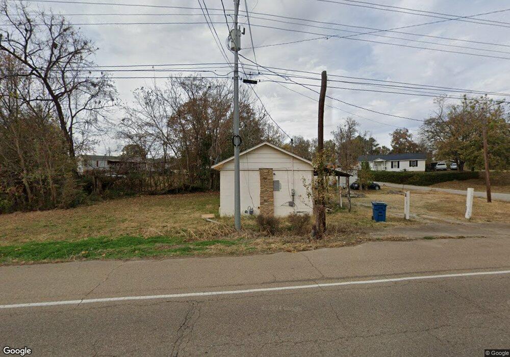
This home is located at 12767 Highway 79, Bells, TN 38006 and is currently estimated at $95,318, approximately $147 per square foot. 12767 Highway 79 is a home with nearby schools including Bells Elementary School.
Ownership History
Date
Name
Owned For
Owner Type
Purchase Details
Closed on
Mar 6, 1997
Bought by
Williams E Davis
Current Estimated Value
Purchase Details
Closed on
Jun 29, 1995
Bought by
Brock Marvin
Purchase Details
Closed on
Mar 19, 1991
Bought by
Byrum Allen W
Purchase Details
Closed on
Oct 14, 1989
Bought by
The Bank Of Alamo
Purchase Details
Closed on
Feb 22, 1982
Bought by
Searcy Opraleen
Purchase Details
Closed on
Oct 12, 1978
Purchase Details
Closed on
Dec 20, 1977
Purchase Details
Closed on
Jun 25, 1974
Create a Home Valuation Report for This Property
The Home Valuation Report is an in-depth analysis detailing your home's value as well as a comparison with similar homes in the area
Home Values in the Area
Average Home Value in this Area
Purchase History
| Date | Buyer | Sale Price | Title Company |
|---|---|---|---|
| Williams E Davis | $6,500 | -- | |
| Brock Marvin | $11,000 | -- | |
| Byrum Allen W | $6,000 | -- | |
| The Bank Of Alamo | -- | -- | |
| Searcy Opraleen | -- | -- | |
| -- | -- | -- | |
| -- | -- | -- | |
| -- | -- | -- |
Source: Public Records
Tax History Compared to Growth
Tax History
| Year | Tax Paid | Tax Assessment Tax Assessment Total Assessment is a certain percentage of the fair market value that is determined by local assessors to be the total taxable value of land and additions on the property. | Land | Improvement |
|---|---|---|---|---|
| 2024 | -- | $9,000 | $1,500 | $7,500 |
| 2023 | $0 | $9,000 | $1,500 | $7,500 |
| 2022 | $297 | $9,000 | $1,500 | $7,500 |
| 2021 | $206 | $5,175 | $1,125 | $4,050 |
| 2020 | $134 | $5,175 | $1,125 | $4,050 |
| 2019 | $206 | $5,175 | $1,125 | $4,050 |
| 2018 | $206 | $5,175 | $1,125 | $4,050 |
| 2017 | $206 | $5,175 | $1,125 | $4,050 |
| 2016 | $206 | $5,175 | $1,125 | $4,050 |
| 2015 | $196 | $5,175 | $1,125 | $4,050 |
| 2014 | $196 | $4,923 | $0 | $0 |
Source: Public Records
Map
Nearby Homes
- 173 W Main St
- 108 Hopkins Ave
- 234 Best St
- 93 Jaycee Cove
- 136 Layne Dr
- 35 Taylor Dr
- 60 AddiMacK Cove
- 0 Stonehaven Dr Unit RTC2669200
- 0 Stonehaven Dr Unit RTC2669195
- 0 Stonehaven Dr Unit RTC2666890
- 0000 Stonehaven Dr Lot 3 Dr
- 0000 Stonehaven Dr Lot 4 Dr
- 0000 Stonehaven Dr Lot 5 Dr
- 30 Rolling Hills Dr
- 29 Rolling Hills Dr
- 3183 Lower Jackson Rd
- 678 Farrow Rd
- 4605 U S 412
- 3280 Old Jackson Rd
- 0 Bells St S
- 12768 Highway 79
- 32 McLemore Street Extension
- 12748 Highway 79
- 12786 Highway 79
- 24 McLemore Street Extension
- 48 Mclemore St
- 249 S Depot St
- 61 Patterson St
- 265 S Depot St
- 233 S Depot St
- 283 S Depot St
- 215 S Depot St
- 301 S Depot St
- 109 Mclemore St
- 197 S Depot St
- 56 Patterson St
- 142 Cm Williams Cir
- 128 Cm Williams Cir
- 72 Patterson St
- 110 Cm Williams Cir