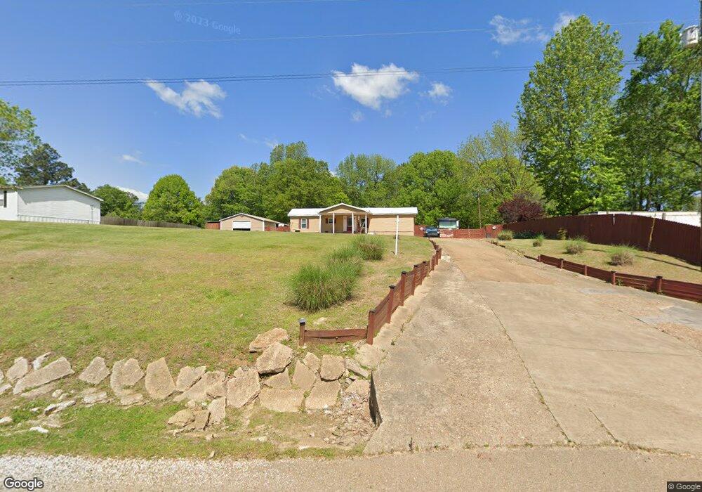
1277 Long Rd Covington, TN 38019
Estimated Value: $82,228 - $201,000
Studio
--
Bath
840
Sq Ft
$156/Sq Ft
Est. Value
About This Home
This home is located at 1277 Long Rd, Covington, TN 38019 and is currently estimated at $131,076, approximately $156 per square foot. 1277 Long Rd is a home located in Tipton County with nearby schools including Crestview Elementary School, Crestview Middle School, and Covington High School.
Ownership History
Date
Name
Owned For
Owner Type
Purchase Details
Closed on
Apr 29, 2009
Sold by
Mckee Charles L
Bought by
Delancey Larry
Current Estimated Value
Home Financials for this Owner
Home Financials are based on the most recent Mortgage that was taken out on this home.
Original Mortgage
$35,685
Interest Rate
4.79%
Purchase Details
Closed on
Sep 15, 2005
Sold by
Jerry Thornton
Bought by
Judy Erwin
Purchase Details
Closed on
Jul 27, 2005
Bought by
Thornton Jerry and Thornton Diane
Purchase Details
Closed on
Sep 27, 1999
Sold by
Wayne Collins Billy
Bought by
Dean Collins
Home Financials for this Owner
Home Financials are based on the most recent Mortgage that was taken out on this home.
Original Mortgage
$28,750
Interest Rate
7.79%
Purchase Details
Closed on
May 13, 1996
Sold by
Dean Collins
Bought by
Wayne Collins Billy
Purchase Details
Closed on
Aug 9, 1990
Bought by
Collins Dean and Collins Brenda G
Create a Home Valuation Report for This Property
The Home Valuation Report is an in-depth analysis detailing your home's value as well as a comparison with similar homes in the area
Purchase History
| Date | Buyer | Sale Price | Title Company |
|---|---|---|---|
| Delancey Larry | $33,028 | -- | |
| Judy Erwin | $24,000 | -- | |
| Thornton Jerry | $8,500 | -- | |
| Dean Collins | $23,017 | -- | |
| Wayne Collins Billy | $25,000 | -- | |
| Collins Dean | -- | -- |
Source: Public Records
Mortgage History
| Date | Status | Borrower | Loan Amount |
|---|---|---|---|
| Closed | Collins Dean | $35,685 | |
| Previous Owner | Collins Dean | $28,750 |
Source: Public Records
Tax History
| Year | Tax Paid | Tax Assessment Tax Assessment Total Assessment is a certain percentage of the fair market value that is determined by local assessors to be the total taxable value of land and additions on the property. | Land | Improvement |
|---|---|---|---|---|
| 2025 | $197 | $12,925 | $12,075 | $850 |
| 2024 | $197 | $12,925 | $12,075 | $850 |
| 2023 | $197 | $12,925 | $12,075 | $850 |
| 2022 | $195 | $9,550 | $8,875 | $675 |
| 2021 | $195 | $9,550 | $8,875 | $675 |
| 2020 | $195 | $9,550 | $8,875 | $675 |
| 2019 | $206 | $8,500 | $7,625 | $875 |
| 2018 | $206 | $8,500 | $7,625 | $875 |
| 2017 | $206 | $8,500 | $7,625 | $875 |
| 2016 | $206 | $8,500 | $7,625 | $875 |
| 2015 | $205 | $8,500 | $7,625 | $875 |
| 2014 | $205 | $8,495 | $0 | $0 |
Source: Public Records
Map
Nearby Homes
- 458 McLillie Ln
- 5442 Bride Rd
- 4154 Tennessee 59
- 754 Mcwilliams Rd
- 3528 Tennessee 59
- 7218 Tennessee 59
- 89 Evans Rd
- 0 Mcwilliams Rd
- 00 Mcwilliams Rd
- 163 Michelle St
- 2101 Mcwilliams Rd
- 866 Deen Rd
- 1980 Millstone Mountain Rd
- 716 Kellum Ln
- 719 Kellum Ln
- 1766 Tennessee 59
- 8249 Highway 59 W
- 332 Waits Rd
- 273 Daniel Dr
- 127 Walton Loop
Your Personal Tour Guide
Ask me questions while you tour the home.