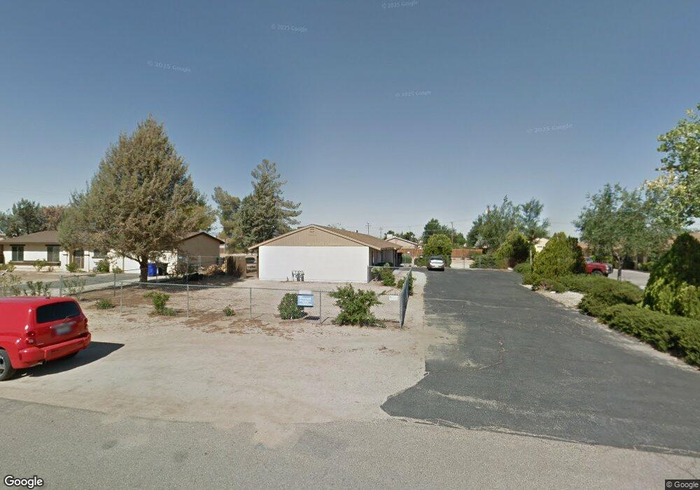
12780 Red Wing Rd Unit A Apple Valley, CA 92308
High Desert NeighborhoodEstimated Value: $304,000 - $489,000
2
Beds
2
Baths
2,184
Sq Ft
$181/Sq Ft
Est. Value
About This Home
This home is located at 12780 Red Wing Rd Unit A, Apple Valley, CA 92308 and is currently estimated at $394,875, approximately $180 per square foot. 12780 Red Wing Rd Unit A is a home located in San Bernardino County with nearby schools including Yucca Loma Elementary School and Apple Valley High School.
Ownership History
Date
Name
Owned For
Owner Type
Purchase Details
Closed on
Mar 5, 2015
Sold by
Dusenberry Richard C and Dusenberry Dorcas A
Bought by
The Dusenberry Craig Trust
Current Estimated Value
Purchase Details
Closed on
Dec 6, 2002
Sold by
Reeder Gail M
Bought by
Dusenberry Richard C and Dusenberry Dorcas A
Purchase Details
Closed on
Jul 10, 1996
Sold by
Bacorn Mildred Neva Trust and Gomez Sandra Blanche
Bought by
Reeder Gail M
Home Financials for this Owner
Home Financials are based on the most recent Mortgage that was taken out on this home.
Original Mortgage
$48,750
Interest Rate
4.25%
Create a Home Valuation Report for This Property
The Home Valuation Report is an in-depth analysis detailing your home's value as well as a comparison with similar homes in the area
Home Values in the Area
Average Home Value in this Area
Purchase History
| Date | Buyer | Sale Price | Title Company |
|---|---|---|---|
| The Dusenberry Craig Trust | -- | None Available | |
| Dusenberry Richard C | $110,000 | Chicago Title Co | |
| Reeder Gail M | $65,000 | Old Republic Title Company |
Source: Public Records
Mortgage History
| Date | Status | Borrower | Loan Amount |
|---|---|---|---|
| Previous Owner | Reeder Gail M | $48,750 |
Source: Public Records
Tax History Compared to Growth
Tax History
| Year | Tax Paid | Tax Assessment Tax Assessment Total Assessment is a certain percentage of the fair market value that is determined by local assessors to be the total taxable value of land and additions on the property. | Land | Improvement |
|---|---|---|---|---|
| 2025 | $2,018 | $159,320 | $20,279 | $139,041 |
| 2024 | $2,018 | $156,196 | $19,881 | $136,315 |
| 2023 | $1,998 | $153,133 | $19,491 | $133,642 |
| 2022 | $1,967 | $150,131 | $19,109 | $131,022 |
| 2021 | $1,922 | $147,187 | $18,734 | $128,453 |
| 2020 | $1,898 | $145,678 | $18,542 | $127,136 |
| 2019 | $1,863 | $142,821 | $18,178 | $124,643 |
| 2018 | $1,818 | $140,021 | $17,822 | $122,199 |
| 2017 | $1,792 | $137,276 | $17,473 | $119,803 |
| 2016 | $1,646 | $134,584 | $17,130 | $117,454 |
| 2015 | $1,621 | $132,563 | $16,873 | $115,690 |
| 2014 | $1,599 | $129,966 | $16,542 | $113,424 |
Source: Public Records
Map
Nearby Homes
- 12770 Lakota Rd
- 21018 Little Beaver Rd
- 0 Matawan Rd
- 12715 Tesuque Rd
- 0 Rancho Rd Unit HD25234535
- 12625 Tamiani Rd
- 20726 Nisqually Rd
- 12835 Iroquois Rd
- 20715 Teton Rd
- 20750 Teton Rd
- 12520 Tamiani Rd
- 12765 Pocomoke Rd
- 21258 Nisqually Rd
- 13130 Kiowa Rd
- 21255 Minnetonka Rd
- 21224 Vidal Ct
- 21178 Rhone Place
- 12421 Lakota Rd
- 12566 Iroquois Rd
- 21133 Pahute Rd
- 12780 Red Wing Rd Unit B
- 12780 Red Wing Rd
- 12796 Red Wing Rd
- 12770 Red Wing Rd
- 12814 Red Wing Rd
- 12754 Red Wing Rd
- 12783 Kiowa Rd
- 12795 Kiowa Rd
- 12769 Kiowa Rd Unit 3
- 12769 Kiowa Rd Unit 2
- 12769 Kiowa Rd Unit 1
- 12769 Kiowa Rd
- 12783 Red Wing Rd
- 12795 Red Wing Rd
- 12813 Kiowa Rd
- 12769 Red Wing Rd
- 12757 Kiowa Rd Unit 3
- 12757 Kiowa Rd Unit 2
- 12757 Kiowa Rd
- 12830 Red Wing Rd