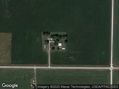
1279 310th St Gowrie, IA 50543
Estimated Value: $200,000 - $289,064
4
Beds
4
Baths
1,894
Sq Ft
$128/Sq Ft
Est. Value
About This Home
This home is located at 1279 310th St, Gowrie, IA 50543 and is currently estimated at $242,766, approximately $128 per square foot. 1279 310th St is a home with nearby schools including Prairie Valley Elementary School and Southeast Valley High School.
Ownership History
Date
Name
Owned For
Owner Type
Purchase Details
Closed on
Sep 15, 2021
Sold by
Hanson David C and Hanson Ruth A
Bought by
Hanson Jonathan and Hanson Carly R
Current Estimated Value
Home Financials for this Owner
Home Financials are based on the most recent Mortgage that was taken out on this home.
Original Mortgage
$200,000
Outstanding Balance
$184,739
Interest Rate
2.8%
Mortgage Type
New Conventional
Estimated Equity
$63,505
Purchase Details
Closed on
Sep 20, 2018
Sold by
Hanson Garland C Est
Bought by
Hanson David C
Purchase Details
Closed on
Jan 13, 2016
Sold by
Olson Farms Llp
Bought by
Hanson David C and Hanson Ruth A
Home Financials for this Owner
Home Financials are based on the most recent Mortgage that was taken out on this home.
Original Mortgage
$166,200
Interest Rate
3.97%
Mortgage Type
New Conventional
Create a Home Valuation Report for This Property
The Home Valuation Report is an in-depth analysis detailing your home's value as well as a comparison with similar homes in the area
Home Values in the Area
Average Home Value in this Area
Purchase History
| Date | Buyer | Sale Price | Title Company |
|---|---|---|---|
| Hanson Jonathan | $188,000 | None Available | |
| Hanson David C | -- | -- | |
| Hanson David C | -- | -- | |
| Hanson David C | $166,500 | None Available |
Source: Public Records
Mortgage History
| Date | Status | Borrower | Loan Amount |
|---|---|---|---|
| Open | Hanson Jonathan | $200,000 | |
| Closed | Hanson Jonathan | $200,000 | |
| Previous Owner | Hanson David C | $166,200 |
Source: Public Records
Tax History Compared to Growth
Tax History
| Year | Tax Paid | Tax Assessment Tax Assessment Total Assessment is a certain percentage of the fair market value that is determined by local assessors to be the total taxable value of land and additions on the property. | Land | Improvement |
|---|---|---|---|---|
| 2024 | $21 | $210,590 | $31,000 | $179,590 |
| 2023 | $2,068 | $210,590 | $31,000 | $179,590 |
| 2022 | $1,597 | $175,430 | $31,000 | $144,430 |
| 2021 | $1,554 | $147,360 | $31,000 | $116,360 |
| 2020 | $1,554 | $137,540 | $31,000 | $106,540 |
| 2019 | $1,420 | $137,280 | $34,100 | $103,180 |
| 2018 | $1,443 | $124,800 | $31,000 | $93,800 |
| 2017 | $1,296 | $109,500 | $0 | $0 |
Source: Public Records
Map
Nearby Homes
- 2995 Carter Ave
- 510 Thomas St
- 911 Margaret Ave
- 836 Gilmore Ave
- 907 Agnes St
- 1415 Park St
- 1806 Main St
- 1011 Sunset Dr
- 1212 Pleasant St
- 1114 Pleasant St
- 1408 Lincoln St
- 1111 Cottonwood St
- 1112 1st St
- 910 Sunrise Dr
- 914 Sunrise Dr
- 912 Sunrise Dr
- 907 Sunrise Dr
- 908 Sunrise Dr
- 913 Sunrise Dr
- 909 Sunrise Dr