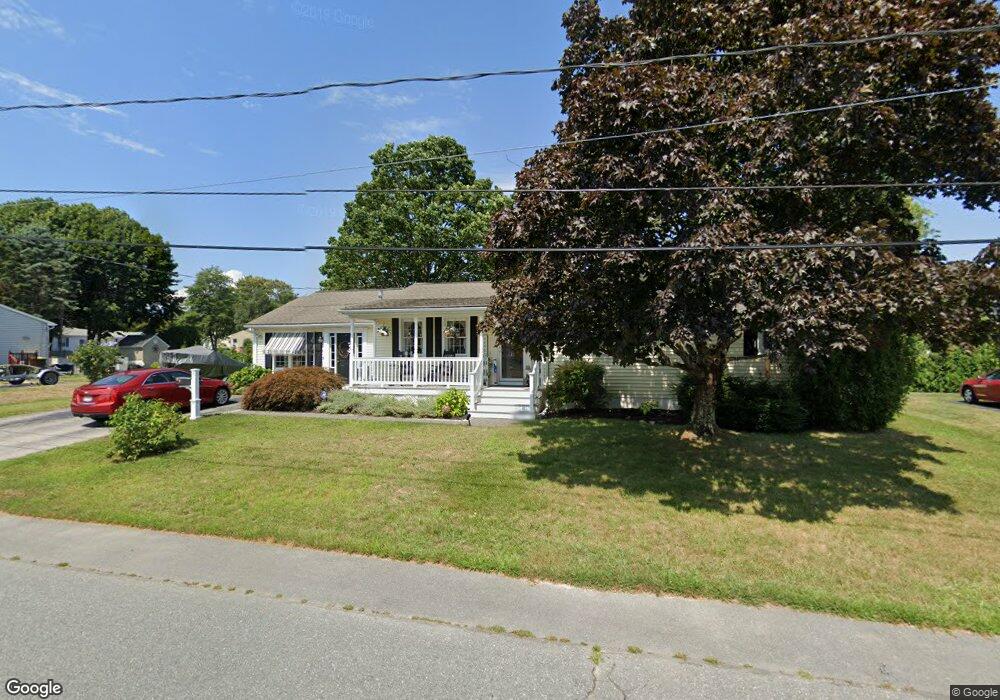
128 Brookside Rd Somerset, MA 02726
Pottersville NeighborhoodEstimated Value: $511,336 - $577,000
3
Beds
1
Bath
1,668
Sq Ft
$326/Sq Ft
Est. Value
About This Home
This home is located at 128 Brookside Rd, Somerset, MA 02726 and is currently estimated at $543,834, approximately $326 per square foot. 128 Brookside Rd is a home located in Bristol County with nearby schools including Chace Street School, Somerset Middle School, and St. Michael's School.
Ownership History
Date
Name
Owned For
Owner Type
Purchase Details
Closed on
Mar 31, 1993
Sold by
Walsh John J and Walsh Letitia A
Bought by
Turner Timothy D and Turner Sherri A
Current Estimated Value
Home Financials for this Owner
Home Financials are based on the most recent Mortgage that was taken out on this home.
Original Mortgage
$112,270
Interest Rate
7.6%
Mortgage Type
Purchase Money Mortgage
Create a Home Valuation Report for This Property
The Home Valuation Report is an in-depth analysis detailing your home's value as well as a comparison with similar homes in the area
Home Values in the Area
Average Home Value in this Area
Purchase History
| Date | Buyer | Sale Price | Title Company |
|---|---|---|---|
| Turner Timothy D | $112,000 | -- | |
| Turner Timothy D | $112,000 | -- |
Source: Public Records
Mortgage History
| Date | Status | Borrower | Loan Amount |
|---|---|---|---|
| Open | Turner Timothy D | $240,000 | |
| Closed | Turner Timothy D | $35,000 | |
| Closed | Turner Timothy D | $112,270 |
Source: Public Records
Tax History
| Year | Tax Paid | Tax Assessment Tax Assessment Total Assessment is a certain percentage of the fair market value that is determined by local assessors to be the total taxable value of land and additions on the property. | Land | Improvement |
|---|---|---|---|---|
| 2025 | $5,933 | $446,100 | $180,100 | $266,000 |
| 2024 | $5,533 | $432,600 | $180,100 | $252,500 |
| 2023 | $4,883 | $385,100 | $156,400 | $228,700 |
| 2022 | $4,521 | $340,200 | $135,000 | $205,200 |
| 2021 | $4,563 | $310,800 | $122,000 | $188,800 |
| 2020 | $4,580 | $300,900 | $122,000 | $178,900 |
| 2019 | $5,163 | $282,900 | $122,000 | $160,900 |
| 2018 | $4,428 | $261,100 | $118,000 | $143,100 |
| 2017 | $4,324 | $248,500 | $112,600 | $135,900 |
| 2016 | $4,351 | $248,500 | $112,600 | $135,900 |
| 2015 | $4,055 | $233,700 | $107,500 | $126,200 |
| 2014 | $5,072 | $210,000 | $104,400 | $105,600 |
Source: Public Records
Map
Nearby Homes
- 745 Bark St
- 145 Mount Hope Rd
- 46 Lilac Ave
- 0 Bark St Unit 1342599
- 0 Bark St Unit 73152576
- 54 Grant Ave
- 2714 Riverside Ave
- 485 Whetstone Hill Rd
- 5 Nottingham Cir
- 65 Marvel St
- 107 Manchester Ave
- 30 Tennyson Dr
- 0 Palmer St
- 4234 N Main St Unit 103
- 3682 N Main St Unit 6
- 499 Elm St
- 3636 N Main St Unit 5
- 3753 N Main St Unit 1
- 33 Rhinecliffe Rd
- 22 Apple Creek Ln
- 148 Brookside Rd
- 115 Brookside Rd
- 145 Brookside Rd
- 108 Brookside Rd
- 73 Midland Rd
- 51 Midland Rd
- 91 Midland Rd
- 195 Brookside Rd
- 88 Brookside Rd
- 8 Woodridge Rd
- 134 Regina Ave
- 154 Regina Ave
- 114 Regina Ave
- 22 Woodridge Rd
- 82 Midland Rd
- 92 Regina Ave
- 176 Regina Ave
- 98 Midland Rd
- 7 Woodridge Rd
- 11 Woodridge Rd
Your Personal Tour Guide
Ask me questions while you tour the home.