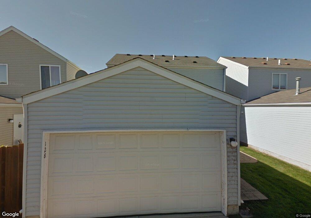
128 Presidential Blvd Unit 2213 Oswego, IL 60543
Northwest Oswego NeighborhoodEstimated Value: $283,000 - $302,000
3
Beds
2
Baths
1,456
Sq Ft
$200/Sq Ft
Est. Value
About This Home
This home is located at 128 Presidential Blvd Unit 2213, Oswego, IL 60543 and is currently estimated at $290,564, approximately $199 per square foot. 128 Presidential Blvd Unit 2213 is a home located in Kendall County with nearby schools including Fox Chase Elementary School, Traughber Junior High School, and Oswego High School.
Ownership History
Date
Name
Owned For
Owner Type
Purchase Details
Closed on
Oct 30, 2000
Sold by
The Bigelow Group Inc
Bought by
Thomas Gabriel S and Thomas Sylvia
Current Estimated Value
Home Financials for this Owner
Home Financials are based on the most recent Mortgage that was taken out on this home.
Original Mortgage
$151,300
Outstanding Balance
$56,069
Interest Rate
7.96%
Mortgage Type
FHA
Estimated Equity
$234,495
Create a Home Valuation Report for This Property
The Home Valuation Report is an in-depth analysis detailing your home's value as well as a comparison with similar homes in the area
Home Values in the Area
Average Home Value in this Area
Purchase History
| Date | Buyer | Sale Price | Title Company |
|---|---|---|---|
| Thomas Gabriel S | $156,000 | First American Title Ins Co |
Source: Public Records
Mortgage History
| Date | Status | Borrower | Loan Amount |
|---|---|---|---|
| Open | Thomas Gabriel S | $151,300 |
Source: Public Records
Tax History Compared to Growth
Tax History
| Year | Tax Paid | Tax Assessment Tax Assessment Total Assessment is a certain percentage of the fair market value that is determined by local assessors to be the total taxable value of land and additions on the property. | Land | Improvement |
|---|---|---|---|---|
| 2024 | $5,514 | $74,522 | $12,322 | $62,200 |
| 2023 | $4,872 | $65,948 | $10,904 | $55,044 |
| 2022 | $4,872 | $59,953 | $9,913 | $50,040 |
| 2021 | $4,633 | $55,512 | $9,179 | $46,333 |
| 2020 | $4,477 | $53,377 | $8,826 | $44,551 |
| 2019 | $4,231 | $50,077 | $8,826 | $41,251 |
| 2018 | $4,261 | $50,077 | $8,826 | $41,251 |
| 2017 | $4,116 | $46,154 | $8,135 | $38,019 |
| 2016 | $2,018 | $44,810 | $7,898 | $36,912 |
| 2015 | $2,000 | $42,676 | $7,522 | $35,154 |
| 2014 | -- | $41,433 | $7,303 | $34,130 |
| 2013 | -- | $41,852 | $7,377 | $34,475 |
Source: Public Records
Map
Nearby Homes
- 125 Presidential Blvd Unit 3248
- 505 Parkland Ct
- 5161 US Highway 34
- 5055 U S 34
- 403 Lake Ct
- 602 Clearwater Ct Unit 2
- 338 Millstream Ln Unit 1
- 608 Clearwater Ct
- 114 Riverview Ct
- 2350 State Route 31
- 514 Bentson St
- 123 W Benton St
- 613 Murdock Place
- 388 Danforth Dr
- 423 Hathaway Ln
- 610 Murdock Place
- 611 Murdock Place
- 421 Hathaway Ln
- 34 N Adams St
- 2110 State Route 31
- 124 Presidential Blvd Unit 2212
- 136 Presidential Blvd Unit 2215
- 136 Presidential Blvd Unit 136
- 126 Presidential Blvd Unit 2206
- 130 Presidential Blvd Unit 2207
- 154 Presidential Blvd Unit 2220
- 150 Presidential Blvd Unit 2219
- 158 Presidential Blvd Unit 2221
- 116 Presidential Blvd Unit 2210
- 134 Presidential Blvd Unit 2208
- 146 Presidential Blvd
- 162 Presidential Blvd Unit 2222
- 142 Presidential Blvd Unit 2217
- 122 Presidential Blvd Unit 2205
- 118 Presidential Blvd Unit 2204
- 112 Presidential Blvd Unit 2209
- 202 W Washington St Unit 2201
- 114 Presidential Blvd Unit 2203
- 138 Presidential Blvd Unit 2216
- 160 Presidential Blvd Unit 2228