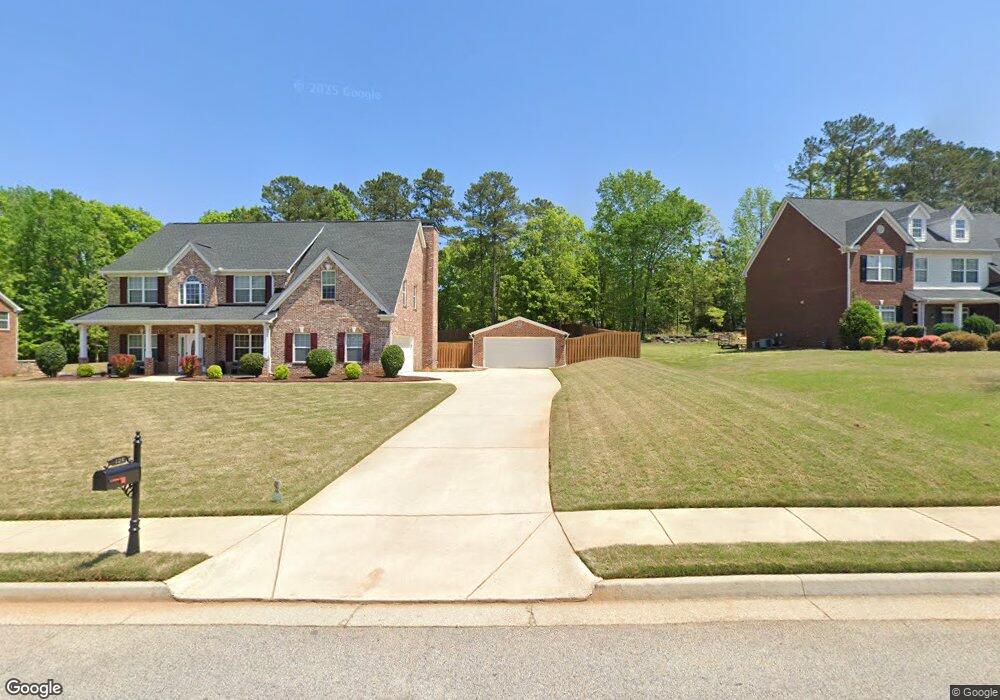
128 Samuel Jacob Dr Stockbridge, GA 30281
Estimated Value: $400,000 - $432,000
5
Beds
3
Baths
3,023
Sq Ft
$136/Sq Ft
Est. Value
About This Home
This home is located at 128 Samuel Jacob Dr, Stockbridge, GA 30281 and is currently estimated at $412,388, approximately $136 per square foot. 128 Samuel Jacob Dr is a home located in Henry County with nearby schools including Dutchtown Elementary School, Dutchtown Middle School, and Dutchtown High School.
Ownership History
Date
Name
Owned For
Owner Type
Purchase Details
Closed on
Jul 13, 2006
Sold by
Manor Homes Inc
Bought by
Watson Andre and Watson Carolyn
Current Estimated Value
Home Financials for this Owner
Home Financials are based on the most recent Mortgage that was taken out on this home.
Original Mortgage
$242,900
Outstanding Balance
$158,341
Interest Rate
8.5%
Mortgage Type
New Conventional
Estimated Equity
$254,047
Create a Home Valuation Report for This Property
The Home Valuation Report is an in-depth analysis detailing your home's value as well as a comparison with similar homes in the area
Home Values in the Area
Average Home Value in this Area
Purchase History
| Date | Buyer | Sale Price | Title Company |
|---|---|---|---|
| Watson Andre | $242,900 | -- |
Source: Public Records
Mortgage History
| Date | Status | Borrower | Loan Amount |
|---|---|---|---|
| Open | Watson Andre | $242,900 |
Source: Public Records
Tax History Compared to Growth
Tax History
| Year | Tax Paid | Tax Assessment Tax Assessment Total Assessment is a certain percentage of the fair market value that is determined by local assessors to be the total taxable value of land and additions on the property. | Land | Improvement |
|---|---|---|---|---|
| 2025 | $5,042 | $165,800 | $16,000 | $149,800 |
| 2024 | $5,042 | $160,560 | $16,000 | $144,560 |
| 2023 | $4,346 | $151,840 | $14,000 | $137,840 |
| 2022 | $4,379 | $131,640 | $14,000 | $117,640 |
| 2021 | $3,932 | $113,120 | $14,000 | $99,120 |
| 2020 | $3,755 | $105,560 | $10,000 | $95,560 |
| 2019 | $3,564 | $97,720 | $10,000 | $87,720 |
| 2018 | $3,311 | $90,720 | $10,000 | $80,720 |
| 2016 | $2,665 | $73,880 | $10,000 | $63,880 |
| 2015 | $2,614 | $70,800 | $10,000 | $60,800 |
| 2014 | $2,359 | $63,760 | $10,000 | $53,760 |
Source: Public Records
Map
Nearby Homes
- 305 Matthew Cir
- 213 Chiswick Loop
- 236 Chiswick Loop
- 220 Chiswick Loop
- 130 Cook Ln
- Pelham Plan at Burchwood
- Wagener Plan at Burchwood
- Wynwood Plan at Burchwood
- Ridgewood Plan at Burchwood
- 115 Dalston Cove
- 105 Dogwood Trail Dr
- 147 Dalston Cove
- 143 Dalston Cove
- 257 Chiswick Loop
- 124 Dalston Cove
- 300 Jeremys Straight
- 15 Spruce Ct
- 557 Mccullough Rd
- 119 Woodson Ct
- 147 Midland Dr
- 132 Samuel Jacob Dr
- 124 Samuel Jacob Dr Unit 7
- 124 Samuel Jacob Dr
- 80 Dogwood Trail Dr
- 78 Dogwood Trail Dr
- 120 Samuel Jacob Dr
- 136 Samuel Jacob Dr
- 200 Kiera Cir
- 82 Dogwood Trail Dr
- 76 Dogwood Trail Dr
- 135 Samuel Jacob Dr
- 129 Samuel Jacob Dr
- 140 Samuel Jacob Dr
- 84 Dogwood Trail Dr
- 74 Dogwood Trail Dr
- 210 Kiera Cir
- 74 Dogwood Trail Dr
- 116 Samuel Jacob Dr
- 143 Samuel Jacob Dr
- 79 Dogwood Trail Dr