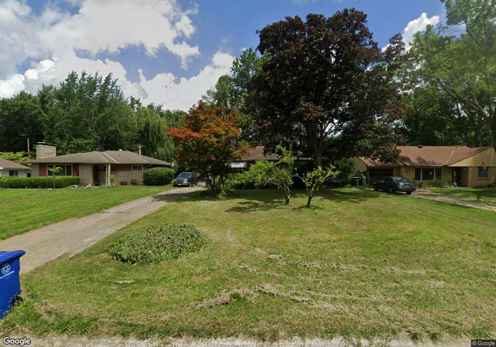
1280 Norris Dr Columbus, OH 43224
North Linden NeighborhoodEstimated Value: $241,243 - $294,000
3
Beds
1
Bath
1,224
Sq Ft
$219/Sq Ft
Est. Value
About This Home
This home is located at 1280 Norris Dr, Columbus, OH 43224 and is currently estimated at $268,061, approximately $219 per square foot. 1280 Norris Dr is a home located in Franklin County with nearby schools including Maize Road Elementary School, Medina Middle School, and Mifflin High School.
Ownership History
Date
Name
Owned For
Owner Type
Purchase Details
Closed on
Mar 1, 2004
Sold by
Wyckoff Sarah M
Bought by
Wyckoff Sarah M and The Sarah M Wyckoff Trust
Current Estimated Value
Purchase Details
Closed on
Mar 5, 2002
Sold by
Wyckoff Borgia M
Bought by
Wyckoff Borgia M and The Borgia M Wyckoff Trust
Purchase Details
Closed on
Mar 4, 2000
Sold by
Estate Of Walter J Wyckoff
Bought by
Wyckoff Borgia
Purchase Details
Closed on
Aug 8, 1968
Bought by
Wyckoff Walter J
Create a Home Valuation Report for This Property
The Home Valuation Report is an in-depth analysis detailing your home's value as well as a comparison with similar homes in the area
Home Values in the Area
Average Home Value in this Area
Purchase History
| Date | Buyer | Sale Price | Title Company |
|---|---|---|---|
| Wyckoff Sarah M | -- | -- | |
| Wyckoff Borgia M | -- | -- | |
| Wyckoff Borgia | -- | -- | |
| Wyckoff Walter J | -- | -- |
Source: Public Records
Tax History Compared to Growth
Tax History
| Year | Tax Paid | Tax Assessment Tax Assessment Total Assessment is a certain percentage of the fair market value that is determined by local assessors to be the total taxable value of land and additions on the property. | Land | Improvement |
|---|---|---|---|---|
| 2024 | $3,189 | $71,050 | $21,770 | $49,280 |
| 2023 | $3,148 | $71,050 | $21,770 | $49,280 |
| 2022 | $2,471 | $47,640 | $11,200 | $36,440 |
| 2021 | $2,475 | $47,640 | $11,200 | $36,440 |
| 2020 | $2,478 | $47,640 | $11,200 | $36,440 |
| 2019 | $2,270 | $37,420 | $8,960 | $28,460 |
| 2018 | $1,133 | $37,420 | $8,960 | $28,460 |
| 2017 | $2,269 | $37,420 | $8,960 | $28,460 |
| 2016 | $2,361 | $35,640 | $9,560 | $26,080 |
| 2015 | $1,072 | $35,640 | $9,560 | $26,080 |
| 2014 | $2,148 | $35,640 | $9,560 | $26,080 |
| 2013 | $1,115 | $37,485 | $10,045 | $27,440 |
Source: Public Records
Map
Nearby Homes
- 1382 Elmore Ave
- 3941 Karl Rd Unit 326
- 1440 E Cooke Rd
- 3965 Karl Rd Unit 208
- 3967 Karl Rd Unit 125
- 3967 Karl Rd Unit 319
- 3749 Ganson Dr
- 1283 Pauline Ave
- 1090 Pauline Ave
- 3519 Gerbert Rd
- 3476 Karl Rd
- 1279 Carolyn Ave
- 924 Northridge Rd
- 4057 Estates Place
- 3724 Eisenhower Rd
- 1665 Sale Rd
- 3543 Norwood St
- 3401 Walmar Dr
- 4141 Karl Rd Unit 307
- 4143 Karl Rd Unit 314
- 1272 Norris Dr
- 1288 Norris Dr
- 1296 Norris Dr
- 1262 Norris Dr
- 1306 Norris Dr
- 1254 Norris Dr
- 1277 Norris Dr
- 1269 Norris Dr
- 1314 Norris Dr
- 1246 Norris Dr
- 1261 Norris Dr
- 1303 Norris Dr
- 1251 Norris Dr
- 1313 Norris Dr
- 1243 Norris Dr
- 1332 Norris Dr
- 1230 Norris Dr
- 3778 Atwood Terrace
- 1329 Norris Dr
- 1225 Norris Dr