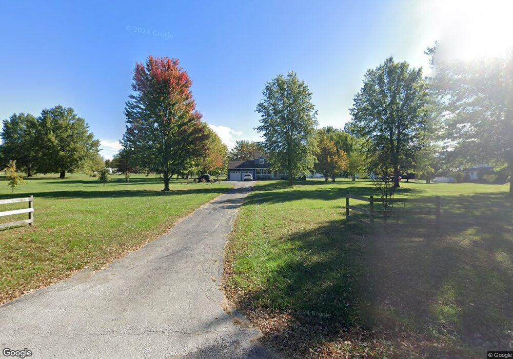
12801 S Noel Rd Lees Summit, MO 64086
Estimated Value: $409,000 - $775,000
4
Beds
3
Baths
1,995
Sq Ft
$263/Sq Ft
Est. Value
About This Home
This home is located at 12801 S Noel Rd, Lees Summit, MO 64086 and is currently estimated at $525,391, approximately $263 per square foot. 12801 S Noel Rd is a home located in Jackson County with nearby schools including Lone Jack Elementary School, Lone Jack High School, and Summit View Adventist Elemtary School.
Ownership History
Date
Name
Owned For
Owner Type
Purchase Details
Closed on
Feb 24, 1998
Sold by
Wegener Randall M and Wegener Deloris E
Bought by
Taylor Howard S and Taylor Jacqueline N
Current Estimated Value
Home Financials for this Owner
Home Financials are based on the most recent Mortgage that was taken out on this home.
Original Mortgage
$95,000
Outstanding Balance
$16,624
Interest Rate
6.87%
Mortgage Type
Purchase Money Mortgage
Estimated Equity
$508,767
Create a Home Valuation Report for This Property
The Home Valuation Report is an in-depth analysis detailing your home's value as well as a comparison with similar homes in the area
Home Values in the Area
Average Home Value in this Area
Purchase History
| Date | Buyer | Sale Price | Title Company |
|---|---|---|---|
| Taylor Howard S | -- | Stewart Title |
Source: Public Records
Mortgage History
| Date | Status | Borrower | Loan Amount |
|---|---|---|---|
| Open | Taylor Howard S | $95,000 |
Source: Public Records
Tax History Compared to Growth
Tax History
| Year | Tax Paid | Tax Assessment Tax Assessment Total Assessment is a certain percentage of the fair market value that is determined by local assessors to be the total taxable value of land and additions on the property. | Land | Improvement |
|---|---|---|---|---|
| 2025 | $3,846 | $64,654 | $18,778 | $45,876 |
| 2024 | $3,846 | $56,221 | $25,122 | $31,099 |
| 2023 | $3,755 | $79,530 | $27,048 | $52,482 |
| 2022 | $3,957 | $52,060 | $9,700 | $42,360 |
| 2021 | $3,849 | $52,060 | $9,700 | $42,360 |
| 2020 | $3,731 | $49,620 | $9,700 | $39,920 |
| 2019 | $3,716 | $49,620 | $9,700 | $39,920 |
| 2018 | $2,857 | $37,708 | $6,985 | $30,723 |
| 2017 | $2,857 | $37,708 | $6,985 | $30,723 |
| 2016 | $2,800 | $36,764 | $8,201 | $28,563 |
| 2014 | $2,838 | $36,764 | $8,201 | $28,563 |
Source: Public Records
Map
Nearby Homes
- 813 W Shawhan Pkwy
- 716 W Solomon Dr
- 814 W Solomon Dr
- 805 W Solomon Dr
- 810 W Shawhan Pkwy
- 12937 S Alley Jackson Rd
- 27800 E 134th St
- 0 Alley Jackson Rd
- 12321 Alley Jackson Rd
- 31001 E Pollard Place
- 34502 E Outer Belt Rd
- 13511 S Heritage Dr
- 13507 S Heritage Dr
- 13503 S Heritage Dr
- 13605 S Heritage Dr
- 13623 S Heritage Dr
- TBD Heritage Farms Lot 21 N A
- TBD Heritage Farms Lot 15 N A
- 14030 Crawford Creek Cir
- 13608 S Heritage Dr
- 12809 S Noel Rd
- 12715 E Noel Rd
- 12716 E Noel Rd
- 12716 S Noel Rd
- 12821 S Noel Rd
- 32111 E Lone Jack Ls Rd
- 12706 E Noel Rd
- 12706 S Noel Rd
- 32205 E Lone Jack Ls Rd
- 12907 S Noel Rd
- 32303 E Lone Jack Ls Rd
- 103 S Noel Rd
- 31906 E Lone Jack Ls Rd
- 1002 Hunters Ridge Blvd
- 101 S Noel Rd
- 1002 W Hunters Ridge
- 1003 W Hunters Ridge
- 32505 E Lone Jack Ls Rd
- 1007 W Hunters Ridge
- 1007 Hunters Ridge Blvd