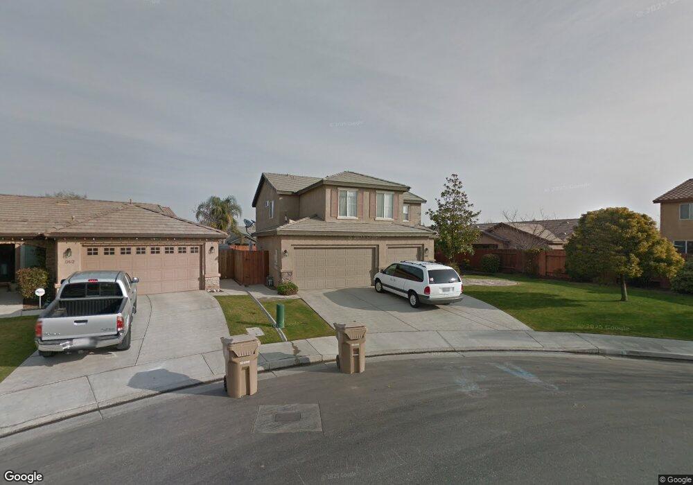
12808 Stemple Dr Bakersfield, CA 93312
Brimhall Estates NeighborhoodEstimated Value: $528,000 - $564,523
6
Beds
3
Baths
1,096
Sq Ft
$501/Sq Ft
Est. Value
About This Home
This home is located at 12808 Stemple Dr, Bakersfield, CA 93312 and is currently estimated at $549,631, approximately $501 per square foot. 12808 Stemple Dr is a home located in Kern County with nearby schools including American Elementary School, Rosedale Middle School, and Liberty High School.
Ownership History
Date
Name
Owned For
Owner Type
Purchase Details
Closed on
Dec 5, 2003
Sold by
Castle & Cooke California Inc
Bought by
Gowling Jeffrey W and Gowling Tracy L
Current Estimated Value
Home Financials for this Owner
Home Financials are based on the most recent Mortgage that was taken out on this home.
Original Mortgage
$221,950
Interest Rate
5.8%
Mortgage Type
Purchase Money Mortgage
Create a Home Valuation Report for This Property
The Home Valuation Report is an in-depth analysis detailing your home's value as well as a comparison with similar homes in the area
Home Values in the Area
Average Home Value in this Area
Purchase History
| Date | Buyer | Sale Price | Title Company |
|---|---|---|---|
| Gowling Jeffrey W | $247,000 | Ticor Title |
Source: Public Records
Mortgage History
| Date | Status | Borrower | Loan Amount |
|---|---|---|---|
| Previous Owner | Gowling Jeffrey W | $221,950 |
Source: Public Records
Tax History Compared to Growth
Tax History
| Year | Tax Paid | Tax Assessment Tax Assessment Total Assessment is a certain percentage of the fair market value that is determined by local assessors to be the total taxable value of land and additions on the property. | Land | Improvement |
|---|---|---|---|---|
| 2025 | $5,636 | $375,671 | $69,684 | $305,987 |
| 2024 | $5,528 | $368,306 | $68,318 | $299,988 |
| 2023 | $5,528 | $361,086 | $66,979 | $294,107 |
| 2022 | $5,432 | $354,007 | $65,666 | $288,341 |
| 2021 | $5,273 | $347,067 | $64,379 | $282,688 |
| 2020 | $5,193 | $343,509 | $63,719 | $279,790 |
| 2019 | $5,112 | $343,509 | $63,719 | $279,790 |
| 2018 | $4,977 | $330,174 | $61,246 | $268,928 |
| 2017 | $5,109 | $323,701 | $60,046 | $263,655 |
| 2016 | $4,801 | $317,355 | $58,869 | $258,486 |
| 2015 | $4,734 | $312,589 | $57,985 | $254,604 |
| 2014 | $4,644 | $306,468 | $56,850 | $249,618 |
Source: Public Records
Map
Nearby Homes
- 12925 Appaloosa Ave
- 12307 Fairburn Way
- 12303 Fairburn Way
- 12204 Tule River Way
- 307 Coachman Way
- 12608 Fallstaff Ln
- 12512 Cheswolde Dr
- 12401 Longmeadow Way
- 12008 Stonington St
- 11917 Leigh River St
- 12023 Winger St
- 11808 Wethersfield St
- 201 El Paso Rd
- 12217 French Park Ln
- 11901 Kimelford Dr
- 13115 Nantucket Place
- 13506 Morocco Ave
- 13801 Laverton Ave
- 306 Portola Ct
- 11717 Old Town Rd
- 12812 Stemple Dr
- 609 Vermillion Dr
- 617 Vermillion Dr
- 601 Vermillion Dr
- 12709 Shallow Water Ct
- 12803 Shallow Water Ct
- 12705 Shallow Water Ct
- 12807 Shallow Water Ct
- 12816 Stemple Dr
- 12701 Shallow Water Ct
- 12811 Shallow Water Ct
- 12809 Stemple Dr
- 12817 Stemple Dr
- 12813 Stemple Dr
- 12805 Stemple Dr
- 12815 Shallow Water Ct
- 12801 Stemple Dr
- 608 Vermillion Dr
- 612 Vermillion Dr
- 604 Vermillion Dr