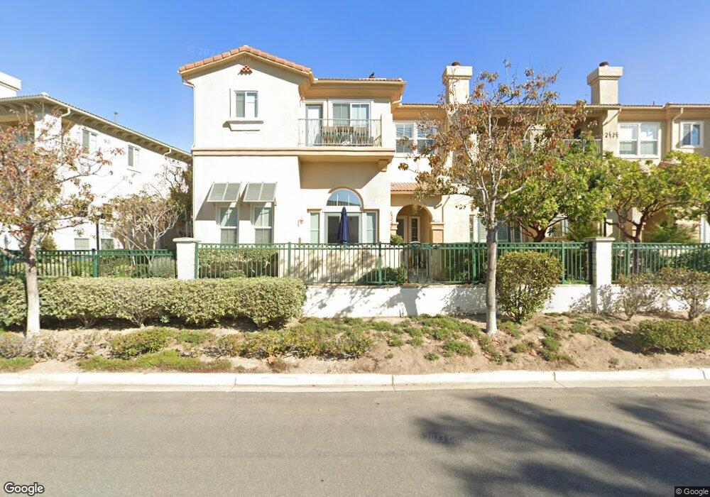
1281 Bayside Cir Oxnard, CA 93035
Channel Islands NeighborhoodEstimated Value: $899,000 - $1,038,000
4
Beds
3
Baths
2,372
Sq Ft
$397/Sq Ft
Est. Value
About This Home
This home is located at 1281 Bayside Cir, Oxnard, CA 93035 and is currently estimated at $942,130, approximately $397 per square foot. 1281 Bayside Cir is a home located in Ventura County with nearby schools including Christa Mcauliffe Elementary School and Oxnard High School.
Ownership History
Date
Name
Owned For
Owner Type
Purchase Details
Closed on
Feb 16, 2021
Sold by
Smith Olivia
Bought by
Towner Amy B and Amy B Towner Trust
Current Estimated Value
Home Financials for this Owner
Home Financials are based on the most recent Mortgage that was taken out on this home.
Original Mortgage
$636,500
Interest Rate
3%
Mortgage Type
New Conventional
Purchase Details
Closed on
Nov 22, 2004
Sold by
Beazer Homes Holdings Corp
Bought by
Smith Lawrence S and Smith Olivia
Home Financials for this Owner
Home Financials are based on the most recent Mortgage that was taken out on this home.
Original Mortgage
$310,000
Interest Rate
4.5%
Mortgage Type
Purchase Money Mortgage
Create a Home Valuation Report for This Property
The Home Valuation Report is an in-depth analysis detailing your home's value as well as a comparison with similar homes in the area
Home Values in the Area
Average Home Value in this Area
Purchase History
| Date | Buyer | Sale Price | Title Company |
|---|---|---|---|
| Towner Amy B | $670,000 | Chicago Title Company | |
| Smith Lawrence S | $631,500 | Fidelity National Title Co |
Source: Public Records
Mortgage History
| Date | Status | Borrower | Loan Amount |
|---|---|---|---|
| Previous Owner | Towner Amy B | $636,500 | |
| Previous Owner | Smith Lawrence S | $310,000 |
Source: Public Records
Tax History
| Year | Tax Paid | Tax Assessment Tax Assessment Total Assessment is a certain percentage of the fair market value that is determined by local assessors to be the total taxable value of land and additions on the property. | Land | Improvement |
|---|---|---|---|---|
| 2025 | $11,791 | $763,114 | $495,755 | $267,359 |
| 2024 | $11,791 | $748,151 | $486,034 | $262,117 |
| 2023 | $11,385 | $733,482 | $476,504 | $256,978 |
| 2022 | $11,225 | $719,100 | $467,160 | $251,940 |
| 2021 | $4,400 | $144,900 | $45,269 | $99,631 |
| 2020 | $3,796 | $143,415 | $44,805 | $98,610 |
| 2019 | $4,460 | $140,604 | $43,927 | $96,677 |
| 2018 | $4,410 | $137,848 | $43,066 | $94,782 |
| 2017 | $4,389 | $135,146 | $42,222 | $92,924 |
| 2016 | $3,296 | $132,497 | $41,395 | $91,102 |
| 2015 | $3,898 | $130,509 | $40,774 | $89,735 |
| 2014 | $3,843 | $127,954 | $39,976 | $87,978 |
Source: Public Records
Map
Nearby Homes
- 4344 Tradewinds Dr
- 4320 Waterside Ln
- 4312 Waterside Ln
- 4234 Tradewinds Dr
- 1068 Canal St
- 1520 Viewpoint Dr
- 1464 Twin Tides Place
- 1365 Donegal Way
- 1085 Canal St
- 4906 Dunes St
- 1095 Canal St
- 1423 Caspian Way
- 920 Catamaran St
- 4060 Tradewinds Dr
- 4901 Catamaran St
- 4114 Caribbean St
- 1729 Emerald Isle Way
- 1758 Emerald Isle Way
- 4941 Catamaran St
- 1506 Seabridge Ln
- 1283 Bayside Cir
- 1275 Bayside Cir Unit 46
- 1285 Bayside Cir
- 1287 Bayside Cir
- 1273 Bayside Cir
- 1271 Bayside Cir
- 1276 Bayside Cir
- 1274 Bayside Cir Unit 49
- 1282 Bayside Cir
- 1286 Bayside Cir
- 1284 Bayside Cir
- 1301 Bayside Cir
- 1272 Bayside Cir Unit 48
- 1267 Bayside Cir
- 1303 Bayside Cir
- 1270 Bayside Cir
- 1288 Bayside Cir
- 1251 Chesapeake Dr
- 1241 Chesapeake Dr
- 1302 Bayside Cir Unit 62
Your Personal Tour Guide
Ask me questions while you tour the home.