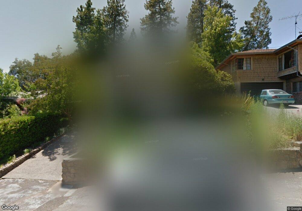
1281 Rosier St Placerville, CA 95667
Estimated Value: $308,000 - $430,000
2
Beds
1
Bath
1,184
Sq Ft
$308/Sq Ft
Est. Value
About This Home
This home is located at 1281 Rosier St, Placerville, CA 95667 and is currently estimated at $364,123, approximately $307 per square foot. 1281 Rosier St is a home located in El Dorado County with nearby schools including El Dorado High School, Country Day Montessori, and El Dorado Adventist School.
Ownership History
Date
Name
Owned For
Owner Type
Purchase Details
Closed on
May 16, 2024
Sold by
Peter M Berchtold Revocable Living Trust and Berchtold Peter M
Bought by
Peter M Berchtold Living Trust and Berchtold
Current Estimated Value
Purchase Details
Closed on
Apr 3, 2012
Sold by
Berchtold Peter M
Bought by
Berchtold Peter M and Peter M Berchtold Revocable Li
Purchase Details
Closed on
Oct 27, 2000
Sold by
Berchtold Peter Maxwell T and Berchtold Rev Trust
Bought by
Berchtold Peter Maxwell
Purchase Details
Closed on
Mar 18, 1997
Sold by
Berchtold Peter M
Bought by
Berchtold Peter Maxwell and Berchtold Peter Maxwell
Create a Home Valuation Report for This Property
The Home Valuation Report is an in-depth analysis detailing your home's value as well as a comparison with similar homes in the area
Home Values in the Area
Average Home Value in this Area
Purchase History
| Date | Buyer | Sale Price | Title Company |
|---|---|---|---|
| Peter M Berchtold Living Trust | -- | None Listed On Document | |
| Berchtold Peter M | -- | None Available | |
| Berchtold Peter Maxwell | -- | Fidelity National Title Co | |
| Berchtold Peter Maxwell | -- | -- |
Source: Public Records
Tax History
| Year | Tax Paid | Tax Assessment Tax Assessment Total Assessment is a certain percentage of the fair market value that is determined by local assessors to be the total taxable value of land and additions on the property. | Land | Improvement |
|---|---|---|---|---|
| 2025 | $1,683 | $166,965 | $48,765 | $118,200 |
| 2024 | $1,683 | $163,692 | $47,809 | $115,883 |
| 2023 | $1,663 | $160,483 | $46,872 | $113,611 |
| 2022 | $1,638 | $157,337 | $45,953 | $111,384 |
| 2021 | $1,618 | $154,252 | $45,052 | $109,200 |
| 2020 | $1,594 | $152,672 | $44,591 | $108,081 |
| 2019 | $1,573 | $149,679 | $43,717 | $105,962 |
| 2018 | $1,526 | $146,745 | $42,860 | $103,885 |
| 2017 | $1,502 | $143,869 | $42,020 | $101,849 |
| 2016 | $1,478 | $141,049 | $41,197 | $99,852 |
| 2015 | $1,409 | $138,932 | $40,579 | $98,353 |
| 2014 | $1,409 | $136,212 | $39,785 | $96,427 |
Source: Public Records
Map
Nearby Homes
- 2977 Mosquito Rd
- 2660 Clay St
- 2940 Anderson Way
- 2921 Miller Way
- 678 Main St
- 2655 Mona Dr
- 1015 Utah Dr
- 1000 Utah Dr
- 1016 Utah Dr
- 1012 Utah Dr
- 1002 Utah Dr
- 1004 Utah Dr
- 1006 Utah Dr
- 0 Trails End Dr Unit 225117516
- 1008 Utah Dr
- 3095 Cedar Ravine Rd
- 1131 Bush Ct
- 8325 County Rd M44
- 3166 Cedar Ravine Rd
- 945 Crawford Drift Ct
- 1277 Rosier St
- 1286 Rosier St
- 1273 Rosier St
- 1284 Rosier St
- 1278 Rosier St
- 1267 Rosier St
- 1272 Rosier St
- 1223 Pinecrest Ct
- 1229 Pinecrest Ct
- 1287 Carson Rd
- 1281 Carson Rd
- 1242 Pinecrest Ct
- 1235 Pinecrest Ct
- 1243 Pinecrest Ct
- 1237 Pinecrest Ct
- 1247 Pinecrest Ct
- 1280 Carson Rd
- 1284 Carson Rd
- 1307 Carson Rd
- 1288 Carson Rd
Your Personal Tour Guide
Ask me questions while you tour the home.