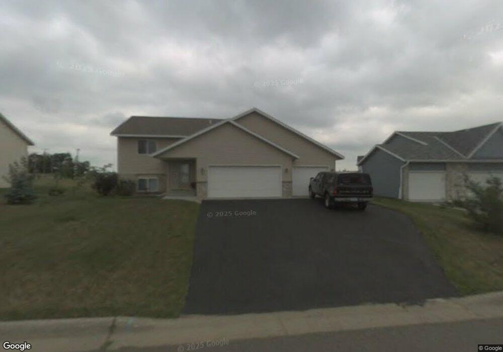
1281 Stone Ridge Rd Sauk Rapids, MN 56379
Estimated Value: $295,980 - $307,000
3
Beds
2
Baths
1,048
Sq Ft
$288/Sq Ft
Est. Value
About This Home
This home is located at 1281 Stone Ridge Rd, Sauk Rapids, MN 56379 and is currently estimated at $301,995, approximately $288 per square foot. 1281 Stone Ridge Rd is a home located in Benton County with nearby schools including Mississippi Heights Elementary School, Sauk Rapids-Rice Middle School, and Sauk Rapids-Rice Senior High School.
Ownership History
Date
Name
Owned For
Owner Type
Purchase Details
Closed on
Aug 31, 2023
Sold by
Swan Mark W and Swan Melanie
Bought by
Thompson Stephen M and Thompson Jennifer L
Current Estimated Value
Home Financials for this Owner
Home Financials are based on the most recent Mortgage that was taken out on this home.
Original Mortgage
$150,000
Outstanding Balance
$146,783
Interest Rate
6.9%
Mortgage Type
New Conventional
Estimated Equity
$155,212
Purchase Details
Closed on
Apr 23, 2008
Sold by
Swan Mark W and Swan Melanie
Bought by
Swan Mark W and Swan Melanie
Home Financials for this Owner
Home Financials are based on the most recent Mortgage that was taken out on this home.
Original Mortgage
$108,000
Interest Rate
5.88%
Mortgage Type
New Conventional
Create a Home Valuation Report for This Property
The Home Valuation Report is an in-depth analysis detailing your home's value as well as a comparison with similar homes in the area
Home Values in the Area
Average Home Value in this Area
Purchase History
| Date | Buyer | Sale Price | Title Company |
|---|---|---|---|
| Thompson Stephen M | $285,000 | Burnet Title | |
| Swan Mark W | -- | -- |
Source: Public Records
Mortgage History
| Date | Status | Borrower | Loan Amount |
|---|---|---|---|
| Open | Thompson Stephen M | $150,000 | |
| Previous Owner | Swan Mark W | $108,000 |
Source: Public Records
Tax History Compared to Growth
Tax History
| Year | Tax Paid | Tax Assessment Tax Assessment Total Assessment is a certain percentage of the fair market value that is determined by local assessors to be the total taxable value of land and additions on the property. | Land | Improvement |
|---|---|---|---|---|
| 2025 | $3,242 | $276,500 | $30,700 | $245,800 |
| 2024 | $3,260 | $270,700 | $30,700 | $240,000 |
| 2023 | $3,064 | $277,800 | $30,700 | $247,100 |
| 2022 | $2,852 | $241,700 | $27,900 | $213,800 |
| 2021 | $2,594 | $208,100 | $27,900 | $180,200 |
| 2018 | $2,246 | $148,300 | $23,352 | $124,948 |
| 2017 | $2,246 | $136,200 | $22,943 | $113,257 |
| 2016 | $2,170 | $155,400 | $26,800 | $128,600 |
| 2015 | $2,184 | $120,000 | $22,287 | $97,713 |
| 2014 | -- | $114,300 | $22,038 | $92,262 |
| 2013 | -- | $117,300 | $22,170 | $95,130 |
Source: Public Records
Map
Nearby Homes
- 1294 Stone Ridge Rd
- 1000 10th Ave NE
- 1 Skyview Dr
- xxx Lot 3
- 1424 Hillside Ct
- 1021 5th St S
- 1408 10th St NE
- 100 9th Ave S
- 1526 Prairie View Ln NE
- xxx Lot 2
- 970 Golden Spike Rd NE
- 880 Golden Spike Rd NE
- 1804 8th Ave S
- 1803 8th Ave S
- 112 Summit Ave S
- 608 Summit Ave S
- 55xx Mayhew Lake Rd NE
- XXXX Golden Spike Rd NE
- TBD Lot D Mayhew Lake Rd NE
- 1664 Payton Ct NE
- 1283 Stone Ridge Rd
- 1279 Stone Ridge Rd
- 1280 Stone Ridge Rd
- 1278 Stone Ridge Rd
- 1286 Stone Ridge Rd
- 1287 Stone Ridge Rd
- 1277 Stone Ridge Rd
- 1276 Stone Ridge Rd
- 1289 Stone Ridge Rd
- 1288 Agate Ct
- 1288 Stone Ridge Rd
- 1273 Stone Ridge Rd
- 1287 Agate Ct
- 1272 Stone Ridge Rd
- 1290 Stone Ridge Rd
- 1286 Agate Ct
- 1277 15th St NE
- 1277 15th St NE
- 1277 15th St NE
- 1271 Stone Ridge Rd