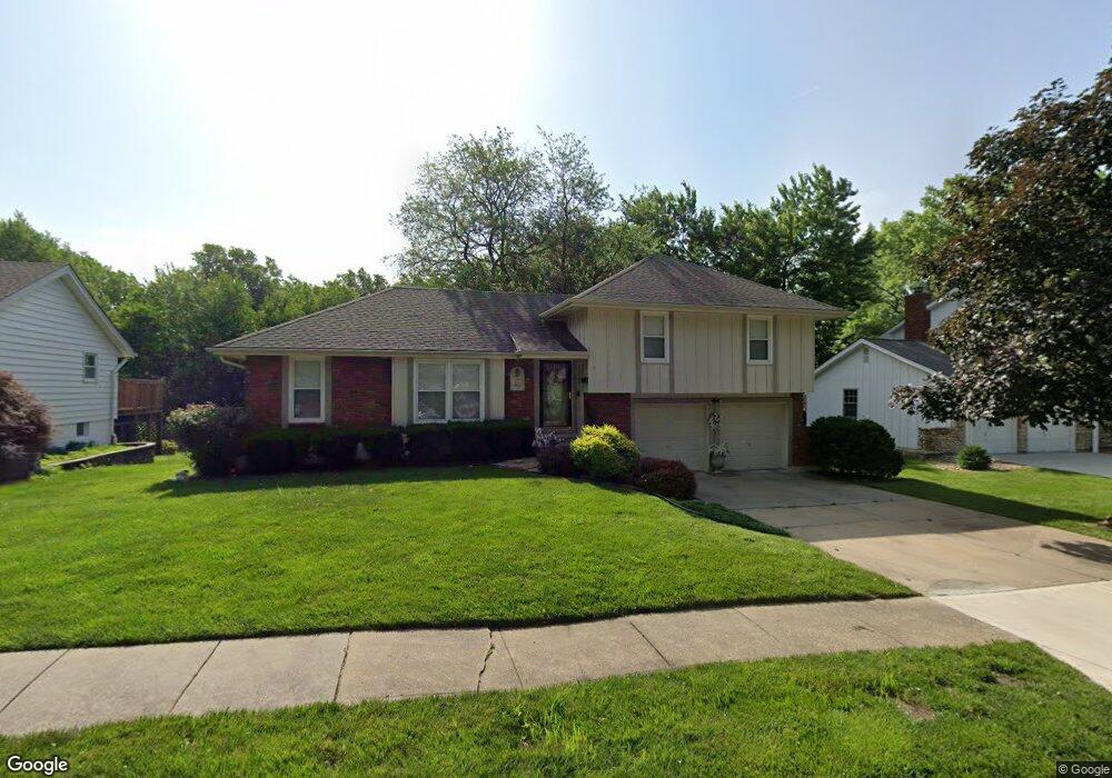
12811 Cambridge Ave Grandview, MO 64030
Estimated Value: $243,000 - $279,000
4
Beds
3
Baths
1,453
Sq Ft
$178/Sq Ft
Est. Value
About This Home
This home is located at 12811 Cambridge Ave, Grandview, MO 64030 and is currently estimated at $258,222, approximately $177 per square foot. 12811 Cambridge Ave is a home located in Jackson County with nearby schools including Conn-West Elementary School, Grandview Middle, and Grandview High School.
Ownership History
Date
Name
Owned For
Owner Type
Purchase Details
Closed on
Dec 30, 1996
Sold by
Brooks Jerry W and Brooks Evelyn A
Bought by
Wood Veleatha M
Current Estimated Value
Home Financials for this Owner
Home Financials are based on the most recent Mortgage that was taken out on this home.
Original Mortgage
$87,750
Outstanding Balance
$9,399
Interest Rate
7.6%
Mortgage Type
Purchase Money Mortgage
Estimated Equity
$248,823
Create a Home Valuation Report for This Property
The Home Valuation Report is an in-depth analysis detailing your home's value as well as a comparison with similar homes in the area
Home Values in the Area
Average Home Value in this Area
Purchase History
| Date | Buyer | Sale Price | Title Company |
|---|---|---|---|
| Wood Veleatha M | -- | Stewart Title |
Source: Public Records
Mortgage History
| Date | Status | Borrower | Loan Amount |
|---|---|---|---|
| Open | Wood Veleatha M | $87,750 |
Source: Public Records
Tax History Compared to Growth
Tax History
| Year | Tax Paid | Tax Assessment Tax Assessment Total Assessment is a certain percentage of the fair market value that is determined by local assessors to be the total taxable value of land and additions on the property. | Land | Improvement |
|---|---|---|---|---|
| 2025 | $2,664 | $31,910 | $5,219 | $26,691 |
| 2024 | $2,618 | $32,756 | $3,354 | $29,402 |
| 2023 | $2,618 | $32,757 | $3,905 | $28,852 |
| 2022 | $2,072 | $24,130 | $3,648 | $20,482 |
| 2021 | $2,070 | $24,130 | $3,648 | $20,482 |
| 2020 | $1,863 | $23,004 | $3,648 | $19,356 |
| 2019 | $1,797 | $23,004 | $3,648 | $19,356 |
| 2018 | $1,656 | $19,730 | $3,463 | $16,267 |
| 2017 | $1,656 | $19,730 | $3,463 | $16,267 |
| 2016 | $1,648 | $19,236 | $3,352 | $15,884 |
| 2014 | $1,639 | $18,859 | $3,287 | $15,572 |
Source: Public Records
Map
Nearby Homes
- 12801 Winchester Ave
- 6609 E 129th St
- 13012 Bristol Ave
- 13008 Corrington Ave
- 6701 E 127 St
- 6600 E 129 St
- 12704 Bristol Ave
- 6608 E 128th St
- 12703 Bristol Ave
- 6709 E 126th St
- 7201 E 130th Terrace
- 12217 Bennington Ave
- 12709 Applewood Dr
- 13006 Byars Rd
- 12701 Applewood Dr
- 12718 Oakland Ave
- 1903 Highgrove Rd
- 6208 E 129th St
- 12904 Overhill Ave
- 7205 E 131st St
- 12809 Cambridge Ave
- 12810 Cambridge Ave
- 12819 Cambridge Ave
- 12805 Cambridge Ave
- 12814 Cambridge Ave
- 12808 Cambridge Ave
- 12816 Winchester Ave
- 12812 Winchester Ave
- 12820 Winchester Ave
- 12818 Cambridge Ave
- 12808 Winchester Ave
- 12806 Cambridge Ave
- 12803 Cambridge Ave
- 12824 Winchester Ave
- 12804 Winchester Ave
- 6900 E 129th St
- 12804 Cambridge Ave
- 6904 E 129th St
- 6808 E 129th St
- 12817 Winchester Ave