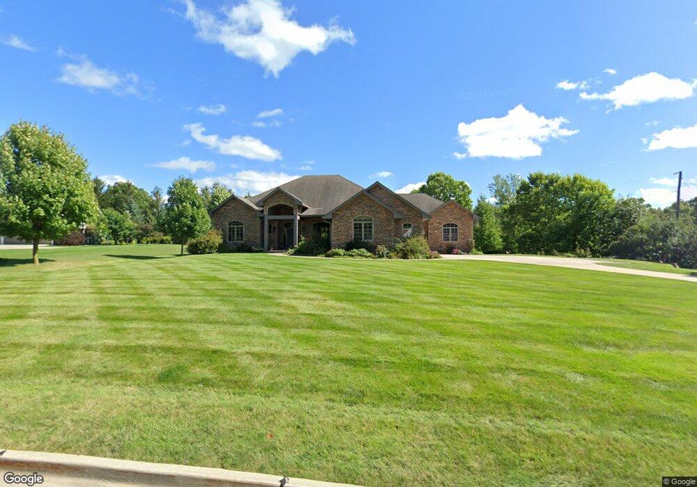
12814 Cardinal Ln Urbandale, IA 50323
Estimated Value: $936,000 - $1,174,501
3
Beds
4
Baths
3,966
Sq Ft
$276/Sq Ft
Est. Value
About This Home
This home is located at 12814 Cardinal Ln, Urbandale, IA 50323 and is currently estimated at $1,092,875, approximately $275 per square foot. 12814 Cardinal Ln is a home located in Polk County with nearby schools including Westridge Elementary School, Indian Hills Junior High School, and Valley Southwoods Freshman High School.
Ownership History
Date
Name
Owned For
Owner Type
Purchase Details
Closed on
Feb 1, 2019
Sold by
Jhtk Llc
Bought by
Ms Properties Llc
Current Estimated Value
Home Financials for this Owner
Home Financials are based on the most recent Mortgage that was taken out on this home.
Original Mortgage
$440,000
Outstanding Balance
$387,619
Interest Rate
4.6%
Mortgage Type
Purchase Money Mortgage
Estimated Equity
$705,256
Purchase Details
Closed on
Jul 16, 2004
Sold by
Cac Investment Co Lc
Bought by
Houghton Jack and Houghton Barbara L
Create a Home Valuation Report for This Property
The Home Valuation Report is an in-depth analysis detailing your home's value as well as a comparison with similar homes in the area
Home Values in the Area
Average Home Value in this Area
Purchase History
| Date | Buyer | Sale Price | Title Company |
|---|---|---|---|
| Ms Properties Llc | $640,000 | None Available | |
| Houghton Jack | $126,500 | -- |
Source: Public Records
Mortgage History
| Date | Status | Borrower | Loan Amount |
|---|---|---|---|
| Open | Ms Properties Llc | $440,000 |
Source: Public Records
Tax History Compared to Growth
Tax History
| Year | Tax Paid | Tax Assessment Tax Assessment Total Assessment is a certain percentage of the fair market value that is determined by local assessors to be the total taxable value of land and additions on the property. | Land | Improvement |
|---|---|---|---|---|
| 2024 | $14,694 | $982,600 | $145,800 | $836,800 |
| 2023 | $14,008 | $982,600 | $145,800 | $836,800 |
| 2022 | $13,838 | $761,500 | $119,300 | $642,200 |
| 2021 | $14,952 | $761,500 | $119,300 | $642,200 |
| 2020 | $14,746 | $778,600 | $121,900 | $656,700 |
| 2019 | $14,960 | $778,600 | $121,900 | $656,700 |
| 2018 | $14,458 | $753,800 | $115,600 | $638,200 |
| 2017 | $15,158 | $753,800 | $115,600 | $638,200 |
| 2016 | $14,782 | $771,400 | $108,400 | $663,000 |
| 2015 | $14,782 | $771,400 | $108,400 | $663,000 |
| 2014 | $14,172 | $733,500 | $101,300 | $632,200 |
Source: Public Records
Map
Nearby Homes
- 12993 Oak Brook Dr
- 12926 Timberline Dr
- 13282 Oak Brook Dr
- 3837 NW 183rd St
- 12917 Timberline Dr
- 13208 Rocklyn Dr
- 13165 Pinecrest Ln
- 13303 Rocklyn Dr
- 13425 Ridgeview Dr
- 13318 Rocklyn Dr
- 12202 Madison Ave
- 12723 Sunflower Dr
- 12220 Horton Ave
- 2216 NW 136th St
- 12527 Airline Ave
- 12515 Airline Ave
- 14311 Catalpa Dr
- 14212 Catalpa Dr
- 14216 Catalpa Dr
- 17827 Creekside Dr
- 12812 Cardinal Ln
- 12816 Cardinal Ln
- 12817 Cardinal Ln
- 12835 Ridgeview Dr
- 12811 Cardinal Ln
- 12810 Cardinal Ln
- 12825 Cardinal Ln
- 12824 Cardinal Ln
- 12800 Oak Brook Dr
- 12800 Cardinal Ln
- 12841 Ridgeview Dr
- 12804 Cardinal Ln
- 12829 Ridgeview Dr
- 12808 Cardinal Ln
- 12847 Ridgeview Dr
- 12822 Cardinal Ln
- 12873 Cardinal Ln
- 12872 Cardinal Ln
- 12805 Cardinal Ln
- 12852 Oak Brook Dr