12814 Maxwell Dr Unit 101 Tustin, CA 92782
Tustin Ranch NeighborhoodEstimated Value: $1,192,000 - $1,478,000
3
Beds
2
Baths
1,723
Sq Ft
$769/Sq Ft
Est. Value
About This Home
This home is located at 12814 Maxwell Dr Unit 101, Tustin, CA 92782 and is currently estimated at $1,324,311, approximately $768 per square foot. 12814 Maxwell Dr Unit 101 is a home located in Orange County with nearby schools including Tustin Ranch Elementary School, Pioneer Middle School, and Arnold O. Beckman High School.
Ownership History
Date
Name
Owned For
Owner Type
Purchase Details
Closed on
Mar 4, 2026
Sold by
Mayeda David and Lee Angela
Bought by
Mayeda Revocable Living Trust and Mayeda
Current Estimated Value
Purchase Details
Closed on
Oct 4, 1994
Sold by
California Pacific Homes Inc
Bought by
Mayeda David K and Mayeda Angela Lee
Home Financials for this Owner
Home Financials are based on the most recent Mortgage that was taken out on this home.
Original Mortgage
$218,600
Interest Rate
9.1%
Create a Home Valuation Report for This Property
The Home Valuation Report is an in-depth analysis detailing your home's value as well as a comparison with similar homes in the area
Home Values in the Area
Average Home Value in this Area
Purchase History
We collect this data history from publicly available records. To have your information removed, we recommend requesting removal directly through your county’s website.
| Date | Buyer | Sale Price | Title Company |
|---|---|---|---|
| Mayeda Revocable Living Trust | -- | None Listed On Document | |
| Mayeda David K | $243,000 | First American Title Ins |
Source: Public Records
Mortgage History
We collect this data history from publicly available records. To have your information removed, we recommend requesting removal directly through your county’s website.
| Date | Status | Borrower | Loan Amount |
|---|---|---|---|
| Previous Owner | Mayeda David K | $218,600 |
Source: Public Records
Tax History
| Year | Tax Paid | Tax Assessment Tax Assessment Total Assessment is a certain percentage of the fair market value that is determined by local assessors to be the total taxable value of land and additions on the property. | Land | Improvement |
|---|---|---|---|---|
| 2025 | $4,217 | $407,990 | $120,952 | $287,038 |
| 2024 | $4,217 | $399,991 | $118,581 | $281,410 |
| 2023 | $4,121 | $392,149 | $116,256 | $275,893 |
| 2022 | $5,010 | $384,460 | $113,976 | $270,484 |
| 2021 | $4,896 | $376,922 | $111,741 | $265,181 |
| 2020 | $4,813 | $373,058 | $110,596 | $262,462 |
| 2019 | $4,722 | $365,744 | $108,428 | $257,316 |
| 2018 | $4,612 | $358,573 | $106,302 | $252,271 |
| 2017 | $4,425 | $351,543 | $104,218 | $247,325 |
| 2016 | $4,350 | $344,650 | $102,174 | $242,476 |
| 2015 | $4,314 | $339,474 | $100,640 | $238,834 |
| 2014 | $4,294 | $332,825 | $98,669 | $234,156 |
Source: Public Records
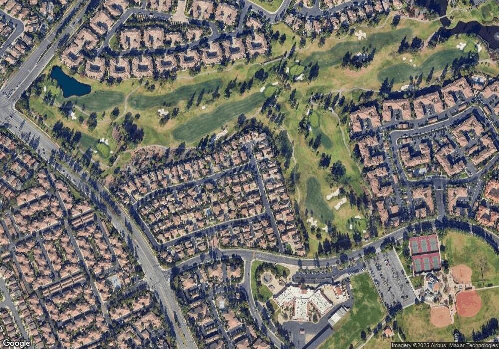
Map
Nearby Homes
- 2444 Sunningdale Dr Unit 19
- 2800 Keller Dr Unit 249
- 2800 Keller Dr Unit 239
- 2329 Sunningdale Dr
- 12921 Ternberry Ct
- 12817 Ternberry Ct Unit 132
- 2316 Cascade
- 2315 Cascade Unit 34
- 2325 Dunes Unit 73
- 2345 Tryall
- 2452 Paseo Circulo
- 2894 Player Ln
- 12581 Doral Unit 54
- 2481 Paseo Circulo
- 12721 Trent Jones Ln
- 23 Asbury
- 13252 Tiburon Way
- 2225 Bowman Ave
- 12635 Prescott Ave
- 13091 Ranchwood Rd
- 12881 Mackenzie Dr Unit 87
- 12871 Mackenzie Dr
- 12894 Mackenzie Dr
- 12861 Mackenzie Dr
- 12851 Mackenzie Dr Unit 90
- 12874 Mackenzie Dr
- 12911 Mackenzie Dr
- 12874 Maxwell Dr
- 12921 Mackenzie Dr Unit 137
- 12890 Mackenzie Dr Unit 2
- 12841 Mackenzie Dr
- 12884 Maxwell Dr Unit 108
- 2570 Alister Ave
- 12904 Maxwell Dr Unit 110
- 2560 Alister Ave
- 12864 Maxwell Dr
- 12884 Mackenzie Dr
- 12864 Mackenzie Dr
- 12880 Mackenzie Dr Unit 4
- 12914 Maxwell Dr
Your Personal Tour Guide
Ask me questions while you tour the home.