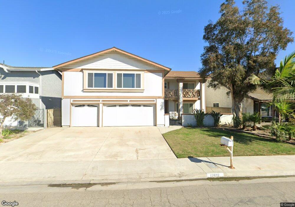
12832 Alonzo Cook St Garden Grove, CA 92845
West Garden Grove NeighborhoodEstimated Value: $1,414,754 - $1,506,000
4
Beds
3
Baths
2,646
Sq Ft
$553/Sq Ft
Est. Value
About This Home
This home is located at 12832 Alonzo Cook St, Garden Grove, CA 92845 and is currently estimated at $1,463,689, approximately $553 per square foot. 12832 Alonzo Cook St is a home located in Orange County with nearby schools including Loyal Barker Elementary School, Hilton D. Bell Intermediate School, and Pacifica High School.
Ownership History
Date
Name
Owned For
Owner Type
Purchase Details
Closed on
Oct 21, 2010
Sold by
Wasinger Bernie A and Wasinger Sandra P
Bought by
Greenwald Jeremiah
Current Estimated Value
Home Financials for this Owner
Home Financials are based on the most recent Mortgage that was taken out on this home.
Original Mortgage
$512,000
Interest Rate
4.17%
Mortgage Type
New Conventional
Create a Home Valuation Report for This Property
The Home Valuation Report is an in-depth analysis detailing your home's value as well as a comparison with similar homes in the area
Home Values in the Area
Average Home Value in this Area
Purchase History
| Date | Buyer | Sale Price | Title Company |
|---|---|---|---|
| Greenwald Jeremiah | $640,000 | Stewart Title |
Source: Public Records
Mortgage History
| Date | Status | Borrower | Loan Amount |
|---|---|---|---|
| Previous Owner | Greenwald Jeremiah | $512,000 |
Source: Public Records
Tax History Compared to Growth
Tax History
| Year | Tax Paid | Tax Assessment Tax Assessment Total Assessment is a certain percentage of the fair market value that is determined by local assessors to be the total taxable value of land and additions on the property. | Land | Improvement |
|---|---|---|---|---|
| 2025 | $10,153 | $819,948 | $565,860 | $254,088 |
| 2024 | $10,153 | $803,871 | $554,765 | $249,106 |
| 2023 | $9,959 | $788,109 | $543,887 | $244,222 |
| 2022 | $9,738 | $772,656 | $533,222 | $239,434 |
| 2021 | $9,631 | $757,506 | $522,766 | $234,740 |
| 2020 | $9,503 | $749,739 | $517,405 | $232,334 |
| 2019 | $9,279 | $735,039 | $507,260 | $227,779 |
| 2018 | $9,087 | $720,627 | $497,314 | $223,313 |
| 2017 | $8,955 | $706,498 | $487,563 | $218,935 |
| 2016 | $8,507 | $692,646 | $478,003 | $214,643 |
| 2015 | $8,385 | $682,242 | $470,823 | $211,419 |
| 2014 | $8,185 | $668,878 | $461,600 | $207,278 |
Source: Public Records
Map
Nearby Homes
- 12586 George Reyburn Rd
- 12581 George Reyburn Rd
- 12671 Saint Mark St
- 13100 Melanie Ln Unit 99
- 5832 Ludlow Ave
- 12871 Taylor St
- 5302 Clark Cir
- 12581 Bartlett St
- 5902 Belgrave Ave
- 13040 Springarden Ln
- 13036 Springarden Ln
- 3831 Wisteria St
- 13371 Springdale St
- 12441 Interior Cir
- 5041 Lampson Ave
- 13392 Anawood Way
- 5021 Apollo Cir
- 13562 Springdale St
- 4765 Ironwood Ave
- 4725 Elder Ave
- 12822 Alonzo Cook St
- 12831 Adams St
- 12821 Adams St
- 12841 Adams St
- 12852 Alonzo Cook St
- 12812 Alonzo Cook St
- 5732 Converse Howe Cir
- 5731 Edward Ware Cir
- 12851 Adams St
- 12811 Adams St
- 12862 Alonzo Cook St
- 12802 Alonzo Cook St
- 5722 Converse Howe Cir
- 12861 Adams St
- 12801 Adams St
- 5721 Edward Ware Cir
- 5731 Converse Howe Cir
- 12872 Alonzo Cook St
- 12782 Alonzo Cook St
- 12832 Adams St