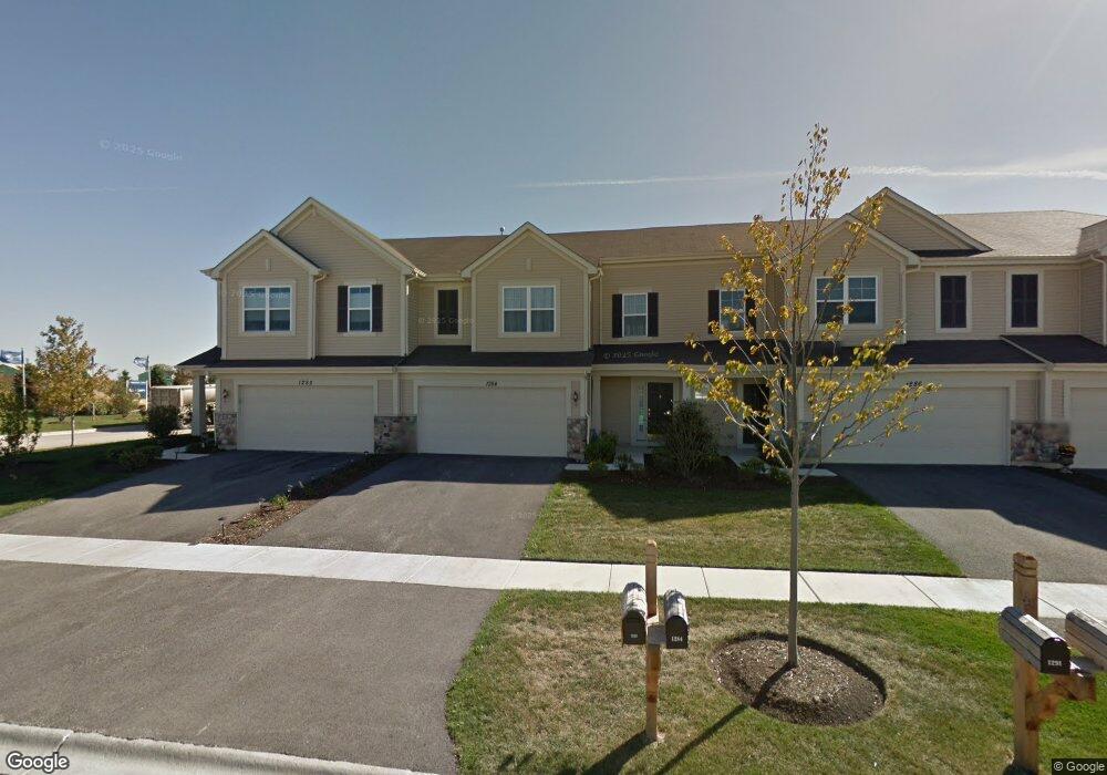
1284 Newport Cir Pingree Grove, IL 60140
Estimated Value: $289,000 - $306,000
--
Bed
1
Bath
1,536
Sq Ft
$192/Sq Ft
Est. Value
About This Home
This home is located at 1284 Newport Cir, Pingree Grove, IL 60140 and is currently estimated at $295,425, approximately $192 per square foot. 1284 Newport Cir is a home located in Kane County with nearby schools including Hampshire Middle School, Hampshire High School, and Cambridge Lakes Charter School.
Ownership History
Date
Name
Owned For
Owner Type
Purchase Details
Closed on
Nov 30, 2010
Sold by
Drh Cambridge Homes Inc
Bought by
Dibella Christina Marie
Current Estimated Value
Home Financials for this Owner
Home Financials are based on the most recent Mortgage that was taken out on this home.
Original Mortgage
$120,848
Outstanding Balance
$79,883
Interest Rate
4.23%
Mortgage Type
New Conventional
Estimated Equity
$215,542
Create a Home Valuation Report for This Property
The Home Valuation Report is an in-depth analysis detailing your home's value as well as a comparison with similar homes in the area
Home Values in the Area
Average Home Value in this Area
Purchase History
| Date | Buyer | Sale Price | Title Company |
|---|---|---|---|
| Dibella Christina Marie | $151,500 | First American Title |
Source: Public Records
Mortgage History
| Date | Status | Borrower | Loan Amount |
|---|---|---|---|
| Open | Dibella Christina Marie | $120,848 |
Source: Public Records
Tax History Compared to Growth
Tax History
| Year | Tax Paid | Tax Assessment Tax Assessment Total Assessment is a certain percentage of the fair market value that is determined by local assessors to be the total taxable value of land and additions on the property. | Land | Improvement |
|---|---|---|---|---|
| 2024 | $5,871 | $79,192 | $14,428 | $64,764 |
| 2023 | $5,703 | $71,616 | $13,048 | $58,568 |
| 2022 | $5,425 | $63,976 | $12,030 | $51,946 |
| 2021 | $5,279 | $60,173 | $11,315 | $48,858 |
| 2020 | $5,188 | $58,637 | $11,026 | $47,611 |
| 2019 | $5,079 | $56,279 | $10,583 | $45,696 |
| 2018 | $4,410 | $46,180 | $9,932 | $36,248 |
| 2017 | $4,311 | $43,977 | $9,458 | $34,519 |
| 2016 | $4,283 | $41,867 | $9,004 | $32,863 |
| 2015 | -- | $39,542 | $8,504 | $31,038 |
| 2014 | -- | $39,542 | $8,504 | $31,038 |
| 2013 | -- | $41,245 | $8,660 | $32,585 |
Source: Public Records
Map
Nearby Homes
- 1286 Newport Cir
- 1173 Sonoma Ct
- 1385 Broadland Dr
- 1157 Clearwater Dr
- 1641 Sandcastle Ln
- 1701 Windward Dr
- 1192 Alta Vista Dr
- 1740 Spinnaker St
- 1482 Hollow Tree Ln
- 955 Emerald Dr
- 1840 Spinnaker St
- 932 Clover Ln
- 898 Emerald Dr
- 1929 Diamond Head Trail
- Lot 019 Old Stage Rd
- 562 Lancaster Dr
- 700 Brighton Dr
- 2307 Upland Rd
- 460 Lancaster Dr
- 672 N Falls Cir
- 1282 Newport Cir
- 1288 Newport Cir
- 1345 Lighthouse Ln
- 1312 Newport Cir
- 1322 Lighthouse Ln
- 1314 Newport Cir
- 1291 Newport Cir
- 1293 Newport Cir
- 1295 Newport Cir
- 1324 Lighthouse Ln
- 1365 Newport Cir
- 1297 Newport Cir
- 1316 Newport Cir
- 1326 Lighthouse Ln
- 1318 Newport Cir
- 1328 Lighthouse Ln
- 1358 Newport Ct
- 1355 Newport Ct
- 1270 Sarasota Dr Unit 10
- 1321 Newport Cir