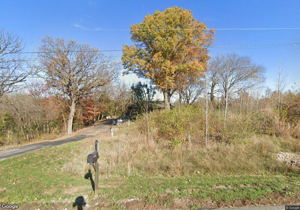
12840 Mcintyre Rd Leavenworth, KS 66048
Estimated Value: $414,000 - $440,000
3
Beds
3
Baths
1,750
Sq Ft
$246/Sq Ft
Est. Value
About This Home
This home is located at 12840 Mcintyre Rd, Leavenworth, KS 66048 and is currently estimated at $430,380, approximately $245 per square foot. 12840 Mcintyre Rd is a home located in Leavenworth County with nearby schools including Lansing Elementary School, Lansing Middle 6-8, and Lansing High 9-12.
Ownership History
Date
Name
Owned For
Owner Type
Purchase Details
Closed on
Jul 25, 2023
Sold by
Ok Nam Mccall Declaration Of Trust
Bought by
Ok Nam Mccall Declaration Of Trust and Mccall
Current Estimated Value
Purchase Details
Closed on
Nov 23, 2021
Sold by
Ok Nam Mccall Declaration Of Trust
Bought by
Ok Nam Mccall Declaration Of Trust
Purchase Details
Closed on
Aug 1, 1998
Bought by
Nam Mccall Ok
Create a Home Valuation Report for This Property
The Home Valuation Report is an in-depth analysis detailing your home's value as well as a comparison with similar homes in the area
Home Values in the Area
Average Home Value in this Area
Purchase History
| Date | Buyer | Sale Price | Title Company |
|---|---|---|---|
| Ok Nam Mccall Declaration Of Trust | -- | None Listed On Document | |
| Ok Nam Mccall Declaration Of Trust | -- | None Listed On Document | |
| Nam Mccall Ok | $136,000 | -- |
Source: Public Records
Tax History Compared to Growth
Tax History
| Year | Tax Paid | Tax Assessment Tax Assessment Total Assessment is a certain percentage of the fair market value that is determined by local assessors to be the total taxable value of land and additions on the property. | Land | Improvement |
|---|---|---|---|---|
| 2025 | $4,443 | $41,308 | $11,620 | $29,688 |
| 2024 | $4,129 | $39,426 | $10,230 | $29,196 |
| 2023 | $4,129 | $38,249 | $10,230 | $28,019 |
| 2022 | $3,993 | $35,627 | $8,695 | $26,932 |
| 2021 | $3,688 | $32,442 | $7,919 | $24,523 |
| 2020 | $3,453 | $29,889 | $7,574 | $22,315 |
| 2019 | $3,288 | $28,428 | $7,229 | $21,199 |
| 2018 | $3,047 | $26,381 | $6,326 | $20,055 |
| 2017 | $3,031 | $26,381 | $6,211 | $20,170 |
| 2016 | $2,944 | $25,671 | $6,098 | $19,573 |
| 2015 | $2,809 | $24,613 | $6,098 | $18,515 |
| 2014 | -- | $23,898 | $6,107 | $17,791 |
Source: Public Records
Map
Nearby Homes
- 24131 126th St
- 13788 McIntyre2 Rd
- 13788 McIntyre1 Rd
- 13788 Mcintyre Rd
- 24431 139th St
- 13965 Mc Intyre Rd
- Lot 2 139th St
- 131 Rock Creek Loop
- 23802 140th St
- 24730 Tontine Rd
- 901 S Main St
- 115 W Gilman Rd
- 513 Forestglen Ln
- 705 Rock Creek Dr
- 13021 Polfer Rd
- 875 Clearview Dr
- 102 S 3rd Ct
- 922 Southfork St
- 833 Rock Creek Dr
- 506 1st Terrace
- 12833 Mcintyre Rd
- 12801 Mcintyre Rd
- 12750 Mcintyre Rd
- 12901 Mcintyre Rd
- 12735 Mcintyre Rd
- 24551 127th St
- 12909 Mcintyre Rd
- 12761 Mcintyre Rd
- 24381 126th St
- 24327 126th St
- 24581 127th St
- 24350 126th St
- 24305 126th St
- 13068 Mcintyre Rd
- 24314 131st St
- 24312 126th St
- 24259 126th St
- 12575 Mc Intyre Rd
- 12575 Mcintyre Rd
- 24282 126th St