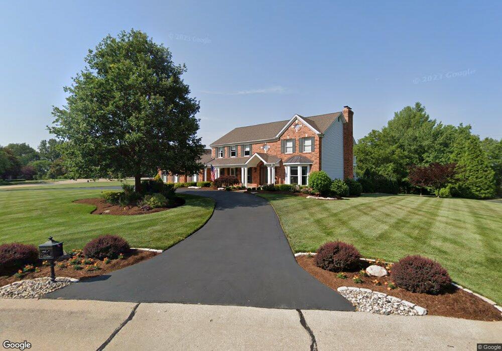
12849 Pointe Dr Saint Louis, MO 63127
Estimated Value: $698,599 - $913,000
4
Beds
4
Baths
3,220
Sq Ft
$252/Sq Ft
Est. Value
About This Home
This home is located at 12849 Pointe Dr, Saint Louis, MO 63127 and is currently estimated at $810,650, approximately $251 per square foot. 12849 Pointe Dr is a home located in St. Louis County with nearby schools including Kennerly Elementary School, Sperreng Middle School, and Lindbergh High School.
Ownership History
Date
Name
Owned For
Owner Type
Purchase Details
Closed on
Nov 12, 2004
Sold by
Lohmann Walter G and Lohmann Linda K
Bought by
Mather James and Mather Cheryl
Current Estimated Value
Home Financials for this Owner
Home Financials are based on the most recent Mortgage that was taken out on this home.
Original Mortgage
$320,000
Outstanding Balance
$160,647
Interest Rate
5.87%
Mortgage Type
Purchase Money Mortgage
Estimated Equity
$650,003
Create a Home Valuation Report for This Property
The Home Valuation Report is an in-depth analysis detailing your home's value as well as a comparison with similar homes in the area
Home Values in the Area
Average Home Value in this Area
Purchase History
| Date | Buyer | Sale Price | Title Company |
|---|---|---|---|
| Mather James | $460,000 | -- |
Source: Public Records
Mortgage History
| Date | Status | Borrower | Loan Amount |
|---|---|---|---|
| Open | Mather James | $320,000 |
Source: Public Records
Tax History
| Year | Tax Paid | Tax Assessment Tax Assessment Total Assessment is a certain percentage of the fair market value that is determined by local assessors to be the total taxable value of land and additions on the property. | Land | Improvement |
|---|---|---|---|---|
| 2025 | $6,974 | $112,730 | $36,710 | $76,020 |
| 2024 | $6,974 | $97,530 | $27,950 | $69,580 |
| 2023 | $6,959 | $97,530 | $27,950 | $69,580 |
| 2022 | $6,964 | $93,880 | $19,970 | $73,910 |
| 2021 | $6,929 | $93,880 | $19,970 | $73,910 |
| 2020 | $7,228 | $94,540 | $18,770 | $75,770 |
| 2019 | $7,209 | $94,540 | $18,770 | $75,770 |
| 2018 | $7,002 | $85,840 | $11,780 | $74,060 |
| 2017 | $6,927 | $85,840 | $11,780 | $74,060 |
| 2016 | $6,415 | $79,560 | $10,510 | $69,050 |
| 2015 | $6,330 | $79,560 | $10,510 | $69,050 |
| 2014 | $6,062 | $75,110 | $20,500 | $54,610 |
Source: Public Records
Map
Nearby Homes
- 12765 Zacharys Ridge
- 12410 Grandview Lake Dr
- 12830 Weber Hill Rd
- 13310 W Watson Rd
- 12838 Weber Hill Rd
- 10755 Kennerly Rd
- 9515 Country Club Green
- 0 Unknown Unit MIS25071866
- 0 Unknown Unit MIS25071884
- 315 Water St
- 9418 Sunset Reserve Dr
- 12259 Sunset Reserve Ct
- 13013 Stone Castle Ct
- 559 Winter Garden Dr
- 9738 Crestwick Dr
- 10748 Leebur Dr
- 9320 Lincoln Dr
- 10652 Roanna Ln
- 11842 Sunlind Dr
- 305 Hays Hill Dr
- 11211 Pointe Ct
- 12857 Pointe Dr
- 12848 Pointe Dr
- 11202 Pointe Ct
- 11210 Pointe Ct
- 11219 Pointe Ct
- 12856 Pointe Dr
- 12840 Pointe Dr
- 12865 Pointe Dr
- 12864 Pointe Dr
- 11218 Pointe Ct
- 12833 Pointe Dr
- 12832 Pointe Dr
- 12825 Pointe Dr
- 12824 Pointe Dr
- 11235 Pointe Ct
- 11234 Pointe Ct
- 11242 Pointe Ct
- 12816 Pointe Dr
- 12809 Pointe Dr