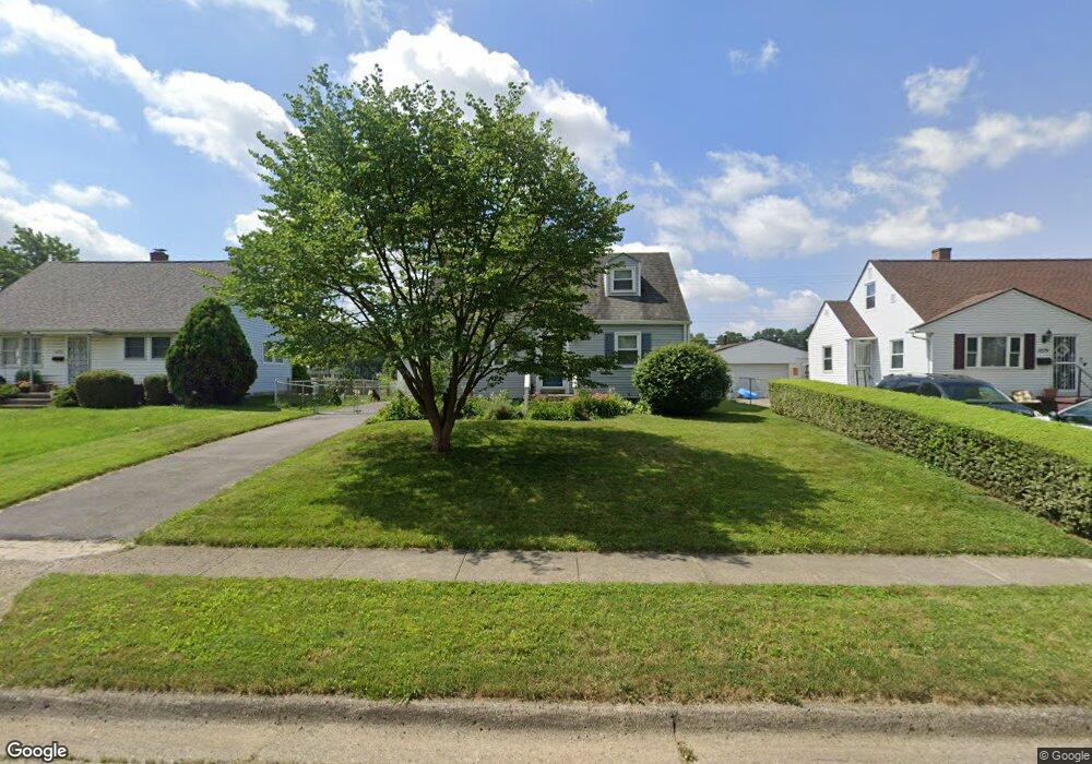
1285 Carbone Dr Columbus, OH 43224
Clinton Estates NeighborhoodEstimated Value: $227,000 - $284,000
3
Beds
2
Baths
1,262
Sq Ft
$198/Sq Ft
Est. Value
About This Home
This home is located at 1285 Carbone Dr, Columbus, OH 43224 and is currently estimated at $249,358, approximately $197 per square foot. 1285 Carbone Dr is a home located in Franklin County with nearby schools including Maize Road Elementary School, Medina Middle School, and Mifflin High School.
Ownership History
Date
Name
Owned For
Owner Type
Purchase Details
Closed on
Jul 2, 1999
Sold by
Hughes Stephen M
Bought by
Westhoven Amy M
Current Estimated Value
Home Financials for this Owner
Home Financials are based on the most recent Mortgage that was taken out on this home.
Original Mortgage
$60,000
Interest Rate
7.28%
Purchase Details
Closed on
Mar 11, 1992
Bought by
Hughes Stephen M
Purchase Details
Closed on
Dec 20, 1991
Create a Home Valuation Report for This Property
The Home Valuation Report is an in-depth analysis detailing your home's value as well as a comparison with similar homes in the area
Home Values in the Area
Average Home Value in this Area
Purchase History
| Date | Buyer | Sale Price | Title Company |
|---|---|---|---|
| Westhoven Amy M | $87,200 | Chicago Title | |
| Hughes Stephen M | $66,500 | -- | |
| -- | -- | -- |
Source: Public Records
Mortgage History
| Date | Status | Borrower | Loan Amount |
|---|---|---|---|
| Previous Owner | Westhoven Amy M | $60,000 |
Source: Public Records
Tax History Compared to Growth
Tax History
| Year | Tax Paid | Tax Assessment Tax Assessment Total Assessment is a certain percentage of the fair market value that is determined by local assessors to be the total taxable value of land and additions on the property. | Land | Improvement |
|---|---|---|---|---|
| 2024 | $2,815 | $62,720 | $19,320 | $43,400 |
| 2023 | $2,779 | $62,720 | $19,320 | $43,400 |
| 2022 | $1,984 | $38,260 | $8,020 | $30,240 |
| 2021 | $1,988 | $38,260 | $8,020 | $30,240 |
| 2020 | $1,990 | $38,260 | $8,020 | $30,240 |
| 2019 | $1,865 | $30,740 | $6,410 | $24,330 |
| 2018 | $1,849 | $30,740 | $6,410 | $24,330 |
| 2017 | $1,864 | $30,740 | $6,410 | $24,330 |
| 2016 | $2,024 | $30,560 | $6,270 | $24,290 |
| 2015 | $1,838 | $30,560 | $6,270 | $24,290 |
| 2014 | $1,842 | $30,560 | $6,270 | $24,290 |
| 2013 | $955 | $32,130 | $6,580 | $25,550 |
Source: Public Records
Map
Nearby Homes
- 1191 Bryson Rd
- 4119 Karl Rd Unit 108
- 1130 Carbone Dr
- 4143 Karl Rd Unit 314
- 4145 Karl Rd Unit 223
- 3941 Karl Rd Unit 326
- 3967 Karl Rd Unit 125
- 3965 Karl Rd Unit 208
- 1064 Hillsdale Dr
- 3939 Karl Rd Unit 108
- 4441 Wetmore Rd E
- 4455 Kenfield Rd
- 1440 E Cooke Rd
- 4057 Estates Place
- 1266 Pershing Dr
- 1496 E Cooke Rd
- 995 Overbrook Service Dr
- 1071 Loring Rd
- 3808 Maize Rd
- 1734 Ferris Rd
- 1279 Carbone Dr
- 1293 Carbone Dr
- 1273 Carbone Dr
- 1301 Carbone Dr
- 1288 Carbone Dr
- 1296 Carbone Dr
- 1265 Carbone Dr
- 1280 Carbone Dr
- 1302 Carbone Dr
- 1274 Carbone Dr
- 1308 Carbone Dr
- 1315 Carbone Dr
- 1259 Carbone Dr
- 1266 Carbone Dr
- 1314 Carbone Dr
- 1297 Frisbee Dr
- 1289 Frisbee Dr
- 1303 Frisbee Dr
- 1260 Carbone Dr
- 1253 Carbone Dr