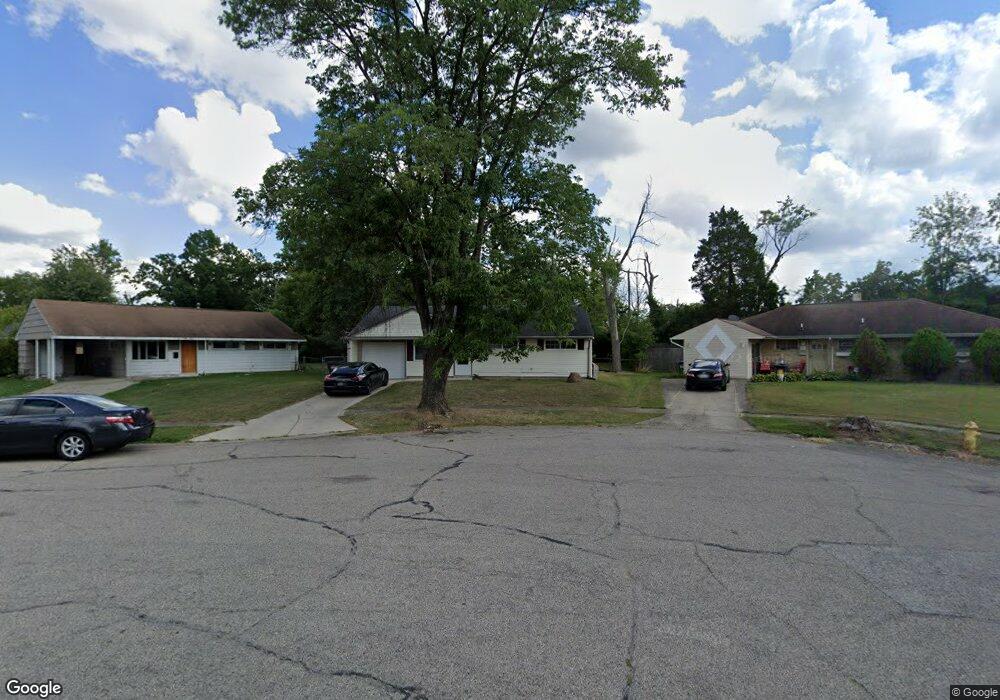
1285 Frost Ct Cincinnati, OH 45231
Finneytown NeighborhoodEstimated Value: $127,000 - $172,000
3
Beds
1
Bath
918
Sq Ft
$171/Sq Ft
Est. Value
About This Home
This home is located at 1285 Frost Ct, Cincinnati, OH 45231 and is currently estimated at $157,093, approximately $171 per square foot. 1285 Frost Ct is a home located in Hamilton County with nearby schools including Mt Healthy High School, St. Vivian School, and Central Baptist Academy.
Ownership History
Date
Name
Owned For
Owner Type
Purchase Details
Closed on
Jun 3, 2016
Sold by
Golden Real Estate
Bought by
Generation Two Properties Llc
Current Estimated Value
Purchase Details
Closed on
Feb 26, 2010
Sold by
Dehner John S and Dehner Angela
Bought by
Ak Real Estate Llc
Purchase Details
Closed on
Aug 3, 2007
Sold by
Va
Bought by
Dehner John S
Purchase Details
Closed on
Dec 28, 2006
Sold by
Griggs William
Bought by
Va
Create a Home Valuation Report for This Property
The Home Valuation Report is an in-depth analysis detailing your home's value as well as a comparison with similar homes in the area
Home Values in the Area
Average Home Value in this Area
Purchase History
| Date | Buyer | Sale Price | Title Company |
|---|---|---|---|
| Generation Two Properties Llc | $42,500 | Chicago Title | |
| Ak Real Estate Llc | $52,000 | Attorney | |
| Dehner John S | -- | None Available | |
| Va | $34,000 | None Available |
Source: Public Records
Tax History Compared to Growth
Tax History
| Year | Tax Paid | Tax Assessment Tax Assessment Total Assessment is a certain percentage of the fair market value that is determined by local assessors to be the total taxable value of land and additions on the property. | Land | Improvement |
|---|---|---|---|---|
| 2024 | $1,864 | $30,416 | $5,226 | $25,190 |
| 2023 | $1,741 | $30,416 | $5,226 | $25,190 |
| 2022 | $1,131 | $14,193 | $5,177 | $9,016 |
| 2021 | $1,126 | $14,193 | $5,177 | $9,016 |
| 2020 | $1,112 | $14,193 | $5,177 | $9,016 |
| 2019 | $1,108 | $13,140 | $4,792 | $8,348 |
| 2018 | $1,114 | $13,140 | $4,792 | $8,348 |
| 2017 | $1,073 | $13,140 | $4,792 | $8,348 |
| 2016 | $1,445 | $17,290 | $5,173 | $12,117 |
| 2015 | $1,433 | $17,290 | $5,173 | $12,117 |
| 2014 | $1,424 | $17,290 | $5,173 | $12,117 |
| 2013 | $1,467 | $18,200 | $5,446 | $12,754 |
Source: Public Records
Map
Nearby Homes
- 8734 Grenada Dr
- 8840 Grenada Dr
- 8681 Desoto Dr
- 8772 Balboa Dr
- 1277 Prospect Place
- 8831 Daly Rd
- 1151 Hempstead Dr
- 8950 Daly Rd
- 8925 Monsanto Dr
- 1190 Sugartree Ct
- 1458 Van Fleet Ave
- 1478 Foxwood Dr
- 8627 Mockingbird Ln
- 1464 Clovernoll Dr
- 8622 Mockingbird Ln
- 1100 Gracewind Ct
- 1029 Bluejay Dr
- 7504 Elizabeth St
- 7508 Elizabeth St
- 1013 Vacationland Dr