12855 Homestead Dr Saint Paul, MN 55110
Estimated Value: $684,511 - $1,128,000
4
Beds
3
Baths
1,302
Sq Ft
$659/Sq Ft
Est. Value
About This Home
This home is located at 12855 Homestead Dr, Saint Paul, MN 55110 and is currently estimated at $857,837, approximately $658 per square foot. 12855 Homestead Dr is a home located in Washington County with nearby schools including Wildwood Elementary School, O.H. Anderson Elementary School, and Mahtomedi Middle School.
Ownership History
Date
Name
Owned For
Owner Type
Purchase Details
Closed on
Mar 23, 2021
Sold by
Maki Bruce A and Maki Kathy E
Bought by
Maki Bruce A and Maki Kathy E
Current Estimated Value
Purchase Details
Closed on
Sep 16, 1996
Sold by
Tschida John M and Manders Linda Kathleen
Bought by
Maki Bruce A and Maki Kathy E
Create a Home Valuation Report for This Property
The Home Valuation Report is an in-depth analysis detailing your home's value as well as a comparison with similar homes in the area
Home Values in the Area
Average Home Value in this Area
Purchase History
| Date | Buyer | Sale Price | Title Company |
|---|---|---|---|
| Maki Bruce A | -- | None Available | |
| Maki Bruce A | $245,500 | -- |
Source: Public Records
Tax History Compared to Growth
Tax History
| Year | Tax Paid | Tax Assessment Tax Assessment Total Assessment is a certain percentage of the fair market value that is determined by local assessors to be the total taxable value of land and additions on the property. | Land | Improvement |
|---|---|---|---|---|
| 2024 | $6,522 | $558,900 | $292,100 | $266,800 |
| 2023 | $6,522 | $593,500 | $332,200 | $261,300 |
| 2022 | $6,054 | $559,800 | $318,500 | $241,300 |
| 2021 | $5,686 | $468,300 | $265,000 | $203,300 |
| 2020 | $5,752 | $449,800 | $256,000 | $193,800 |
| 2019 | $5,620 | $446,300 | $256,000 | $190,300 |
| 2018 | $5,454 | $431,400 | $256,000 | $175,400 |
| 2017 | $5,410 | $426,700 | $256,000 | $170,700 |
| 2016 | $5,444 | $410,600 | $246,000 | $164,600 |
| 2015 | $5,618 | $413,900 | $246,000 | $167,900 |
| 2013 | -- | $348,100 | $204,800 | $143,300 |
Source: Public Records
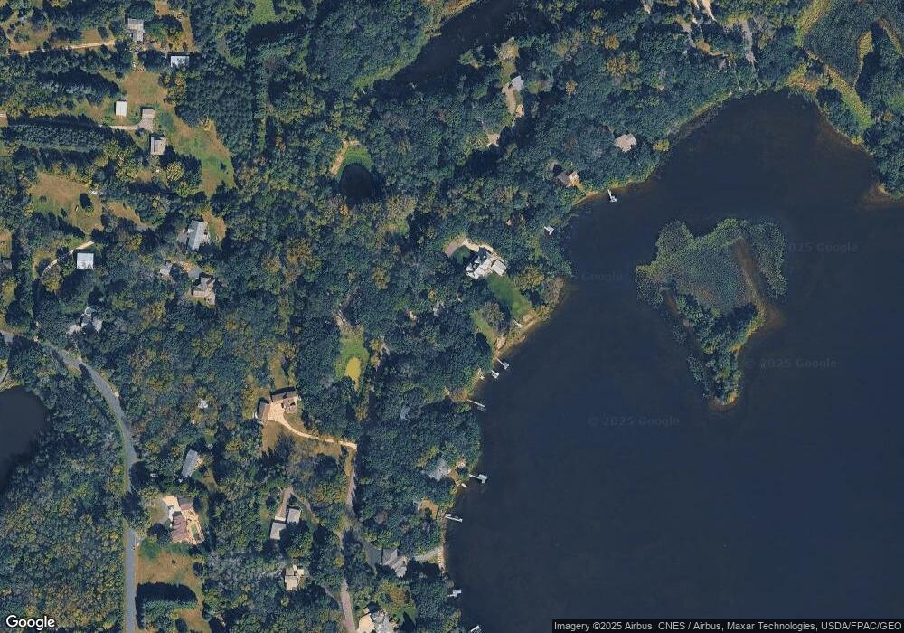
Map
Nearby Homes
- 7 Bayhill Rd
- 6 Troon Ct
- 14481 Hyde Ave N
- 128xx Jody Ave N
- 129xx Jody Ave N
- 127xx Jody Ave N
- 126xx Jody Ave N
- 13852 Geneva Ave N
- 11 High Point Rd
- 5881 Freeland Alcove N
- 5851 Freeland Bay N
- 5871 Freeland Alcove N
- 5830 Freeland Bay N
- 5840 Freeland Bay N
- 5850 Freeland Bay N
- 5820 Freeland Bay N
- 5750 Freeland Bay N
- 5760 Freeland Bay N
- 5910 Freeland Alcove N
- 5801 Freeland Bay N
- 12833 Homestead Dr
- 12833 Homestead Dr
- 12877 Homestead Dr
- 12842 Homestead Dr
- 12899 Homestead Dr
- 12787 Homestead Dr
- 12757 Homestead Dr
- 12770 12770 Homestead-Drive-n
- 12770 12770 Homestead Dr
- 12770 12770 Homestead-Drive-
- 12770 Homestead Dr
- 12929 Homestead Dr
- 12727 Homestead Dr
- 12833 Hilo Ave N
- 12930 Homestead Dr
- 12959 Homestead Dr
- 7616 128th St N
- 7616 128th St N
- 12683 Homestead Dr
- 12720 Homestead Dr