1287 Swift Cir Shakopee, MN 55379
Estimated Value: $399,985 - $438,000
4
Beds
2
Baths
1,326
Sq Ft
$317/Sq Ft
Est. Value
About This Home
This home is located at 1287 Swift Cir, Shakopee, MN 55379 and is currently estimated at $420,746, approximately $317 per square foot. 1287 Swift Cir is a home located in Scott County with nearby schools including Sun Path Elementary School, Shakopee West Middle School, and Shakopee Senior High School.
Ownership History
Date
Name
Owned For
Owner Type
Purchase Details
Closed on
Oct 26, 2017
Sold by
David James Enterprises
Bought by
David James Enterprises Llc
Current Estimated Value
Purchase Details
Closed on
May 23, 2002
Sold by
Franz Robert M and Franz Maureen K
Bought by
David James Enterprises
Purchase Details
Closed on
Jan 8, 1996
Sold by
Schmitt David J
Bought by
Franz Robert M and Franz Maureen K
Create a Home Valuation Report for This Property
The Home Valuation Report is an in-depth analysis detailing your home's value as well as a comparison with similar homes in the area
Home Values in the Area
Average Home Value in this Area
Purchase History
| Date | Buyer | Sale Price | Title Company |
|---|---|---|---|
| David James Enterprises Llc | -- | None Available | |
| David James Enterprises Llc | -- | None Available | |
| David James Enterprises | $239,000 | -- | |
| Franz Robert M | $164,900 | -- |
Source: Public Records
Tax History
| Year | Tax Paid | Tax Assessment Tax Assessment Total Assessment is a certain percentage of the fair market value that is determined by local assessors to be the total taxable value of land and additions on the property. | Land | Improvement |
|---|---|---|---|---|
| 2025 | $4,188 | $396,200 | $172,200 | $224,000 |
| 2024 | $4,172 | $397,700 | $172,200 | $225,500 |
| 2023 | $4,430 | $390,200 | $167,800 | $222,400 |
| 2022 | $4,196 | $407,600 | $167,800 | $239,800 |
| 2021 | $3,702 | $330,600 | $130,200 | $200,400 |
| 2020 | $3,992 | $318,300 | $116,800 | $201,500 |
| 2019 | $3,936 | $301,500 | $97,900 | $203,600 |
| 2018 | $3,996 | $0 | $0 | $0 |
| 2016 | $3,924 | $0 | $0 | $0 |
| 2014 | -- | $0 | $0 | $0 |
Source: Public Records
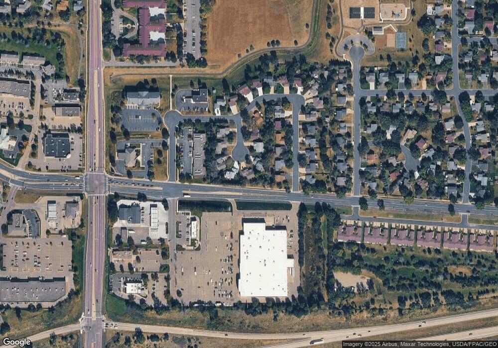
Map
Nearby Homes
- 1928 Vierling Dr E
- 1076 Sibley St S
- 1969 Shakopee Ave E
- 951 Swift St S
- 2066 Mockingbird Ave
- 1596 Chartreux Ave
- 2350 Downing Ave
- 1667 Countryside Dr
- 2574 Vierling Dr E
- 1227 Elmwood Ave Unit 85
- 1035 Providence Dr
- 2351 Tyrone Dr
- 2399 Tyrone Dr
- 2423 Tyrone Dr
- 849 Providence Dr
- 1777 Countryside Dr
- 874 Gannon Dr Unit 94
- 794 Cobblestone Way
- 2006 Tyrone Dr
- 2090 Parkway Ave Unit 31107
- 1277 Swift Cir
- 1284 Swift Cir
- 1292 Miller St S
- 1267 Swift Cir
- 1282 Miller St S
- 1274 Swift Cir
- 1272 Miller St S
- 1264 Swift Cir
- 1257 Swift Cir
- 1262 Miller St S
- 1254 Swift Cir
- 1252 Miller St S
- 1608 Dalles Dr
- 1295 Miller St S
- 1285 Miller St S
- 1275 Miller St S
- 1242 Miller St S
- 1265 Miller St S
- 1255 Miller St S
- 1585 Dalles Dr
Your Personal Tour Guide
Ask me questions while you tour the home.