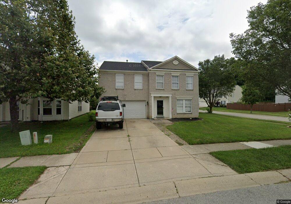
12885 E 131st St Fishers, IN 46037
Estimated Value: $356,000 - $376,000
3
Beds
3
Baths
2,967
Sq Ft
$122/Sq Ft
Est. Value
About This Home
This home is located at 12885 E 131st St, Fishers, IN 46037 and is currently estimated at $363,001, approximately $122 per square foot. 12885 E 131st St is a home located in Hamilton County with nearby schools including Hickok Elementary School, Brooks School Elementary School, and Fall Creek Intermediate School.
Ownership History
Date
Name
Owned For
Owner Type
Purchase Details
Closed on
Jun 20, 2007
Sold by
Taggart Brooke E
Bought by
Taggart Robert M
Current Estimated Value
Purchase Details
Closed on
Jul 8, 2003
Sold by
C P Morgan Communities Lp
Bought by
Taggart Robert M and Taggart Brooke E
Home Financials for this Owner
Home Financials are based on the most recent Mortgage that was taken out on this home.
Original Mortgage
$159,486
Interest Rate
5.36%
Mortgage Type
FHA
Create a Home Valuation Report for This Property
The Home Valuation Report is an in-depth analysis detailing your home's value as well as a comparison with similar homes in the area
Home Values in the Area
Average Home Value in this Area
Purchase History
| Date | Buyer | Sale Price | Title Company |
|---|---|---|---|
| Taggart Robert M | -- | None Available | |
| Taggart Robert M | -- | -- |
Source: Public Records
Mortgage History
| Date | Status | Borrower | Loan Amount |
|---|---|---|---|
| Previous Owner | Taggart Robert M | $159,486 |
Source: Public Records
Tax History Compared to Growth
Tax History
| Year | Tax Paid | Tax Assessment Tax Assessment Total Assessment is a certain percentage of the fair market value that is determined by local assessors to be the total taxable value of land and additions on the property. | Land | Improvement |
|---|---|---|---|---|
| 2024 | $7,881 | $316,400 | $39,900 | $276,500 |
| 2023 | $6,679 | $308,200 | $39,900 | $268,300 |
| 2022 | $6,094 | $275,800 | $39,900 | $235,900 |
| 2021 | $5,445 | $241,900 | $42,500 | $199,400 |
| 2020 | $4,834 | $212,300 | $42,500 | $169,800 |
| 2019 | $4,717 | $206,200 | $30,100 | $176,100 |
| 2018 | $4,370 | $191,100 | $30,100 | $161,000 |
| 2017 | $2,070 | $187,000 | $30,100 | $156,900 |
| 2016 | $2,025 | $184,800 | $30,100 | $154,700 |
| 2014 | $1,638 | $167,700 | $30,100 | $137,600 |
| 2013 | $1,638 | $169,200 | $30,100 | $139,100 |
Source: Public Records
Map
Nearby Homes
- 12957 E 131st St
- 12997 Bartlett Dr
- 12670 E 131st St
- 12890 Old Glory Dr
- 13315 Patriotic Way
- 12994 Dekoven Dr
- 12649 Endurance Dr
- 12607 Courage Crossing
- 12599 Brookdale Dr
- 12632 Endurance Dr
- 12639 Justice Crossing
- 12694 Justice Crossing
- 12640 Justice Crossing
- 12552 Majestic Way
- 12523 Courage Crossing
- 13355 Heroic Way
- 13276 E Lieder Way
- 13128 Glenside Dr
- 13288 E Lieder Way
- 12964 Walbeck Dr
- 12897 E 131st St
- 12909 E 131st St
- 12912 Star Dr
- 12921 E 131st St
- 12873 E 131st St
- 12884 E 131st St
- 12872 E 131st St
- 12924 Star Dr
- 12860 E 131st St
- 12933 E 131st St
- 12896 E 131st St
- 12861 E 131st St
- 12848 E 131st St
- 12936 Star Dr
- 12945 E 131st St
- 12887 Star Dr
- 12921 Freedom Dr
- 12836 E 131st St
- 12911 Star Dr
- 13138 Star Cir