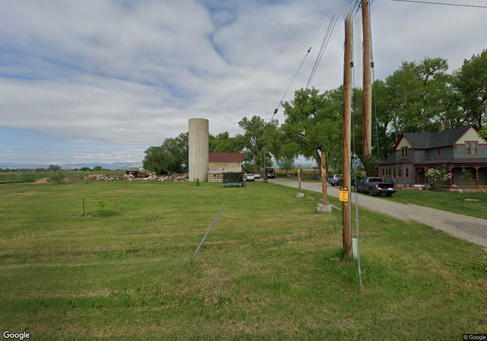
12885 N 115th St Longmont, CO 80504
Estimated Value: $787,000 - $994,000
4
Beds
2
Baths
2,146
Sq Ft
$432/Sq Ft
Est. Value
About This Home
This home is located at 12885 N 115th St, Longmont, CO 80504 and is currently estimated at $926,875, approximately $431 per square foot. 12885 N 115th St is a home with nearby schools including Mead Elementary School, Mead Middle School, and Mead High School.
Ownership History
Date
Name
Owned For
Owner Type
Purchase Details
Closed on
May 20, 2015
Sold by
Reinholt Christopher William and Reinholt Abigail Marian
Bought by
Reinholt Christopher William
Current Estimated Value
Home Financials for this Owner
Home Financials are based on the most recent Mortgage that was taken out on this home.
Original Mortgage
$352,000
Outstanding Balance
$271,463
Interest Rate
3.71%
Mortgage Type
New Conventional
Estimated Equity
$655,412
Purchase Details
Closed on
May 5, 2011
Sold by
York Sally Ann and The Estate Of Sarah Hartman Zi
Bought by
Reinholt Christopher William
Home Financials for this Owner
Home Financials are based on the most recent Mortgage that was taken out on this home.
Original Mortgage
$346,500
Interest Rate
4.86%
Mortgage Type
New Conventional
Purchase Details
Closed on
Feb 24, 2011
Sold by
York Sally Ann and The Estate Of Sarah Hartman Zi
Bought by
York Sally Ann
Create a Home Valuation Report for This Property
The Home Valuation Report is an in-depth analysis detailing your home's value as well as a comparison with similar homes in the area
Home Values in the Area
Average Home Value in this Area
Purchase History
| Date | Buyer | Sale Price | Title Company |
|---|---|---|---|
| Reinholt Christopher William | -- | Land Title Guarantee Company | |
| Reinholt Christopher William | $385,000 | Land Title Guarantee Company | |
| York Sally Ann | -- | None Available |
Source: Public Records
Mortgage History
| Date | Status | Borrower | Loan Amount |
|---|---|---|---|
| Open | Reinholt Christopher William | $352,000 | |
| Closed | Reinholt Christopher William | $346,500 |
Source: Public Records
Tax History Compared to Growth
Tax History
| Year | Tax Paid | Tax Assessment Tax Assessment Total Assessment is a certain percentage of the fair market value that is determined by local assessors to be the total taxable value of land and additions on the property. | Land | Improvement |
|---|---|---|---|---|
| 2025 | $5,660 | $57,219 | $25,763 | $31,456 |
| 2024 | $5,660 | $57,219 | $25,763 | $31,456 |
| 2023 | $5,586 | $57,138 | $13,963 | $46,859 |
| 2022 | $5,138 | $50,157 | $14,220 | $35,937 |
| 2021 | $5,207 | $51,601 | $14,629 | $36,972 |
| 2020 | $3,891 | $38,589 | $10,868 | $27,721 |
| 2019 | $3,829 | $38,589 | $10,868 | $27,721 |
| 2018 | $3,528 | $35,762 | $12,312 | $23,450 |
| 2017 | $3,321 | $39,538 | $13,612 | $25,926 |
| 2016 | $3,506 | $36,999 | $20,505 | $16,494 |
| 2015 | $3,339 | $35,000 | $13,850 | $21,150 |
| 2014 | -- | $35,000 | $13,850 | $21,150 |
Source: Public Records
Map
Nearby Homes
- 2339 Whistler Dr
- 2391 Whistler Dr
- 2217 Medford St
- 221 Homestead Pkwy
- 635 Coronado Place
- 650 Olympia Ave
- 2295 French Cir
- 2481 Santa fe Dr Unit A
- 2410 Santa fe Dr Unit A
- 2217 Steppe Dr
- 2127 Astoria Ln
- 1484 Coral Place
- 1458 Coral Place
- 2220 Meadow St
- 2100 Boise Ct
- 2190 Winding Dr
- 2258 Whistler Dr
- 2321 Calais Dr Unit 15G
- 2435 Calais Dr Unit I
- 2435 Calais Dr Unit H