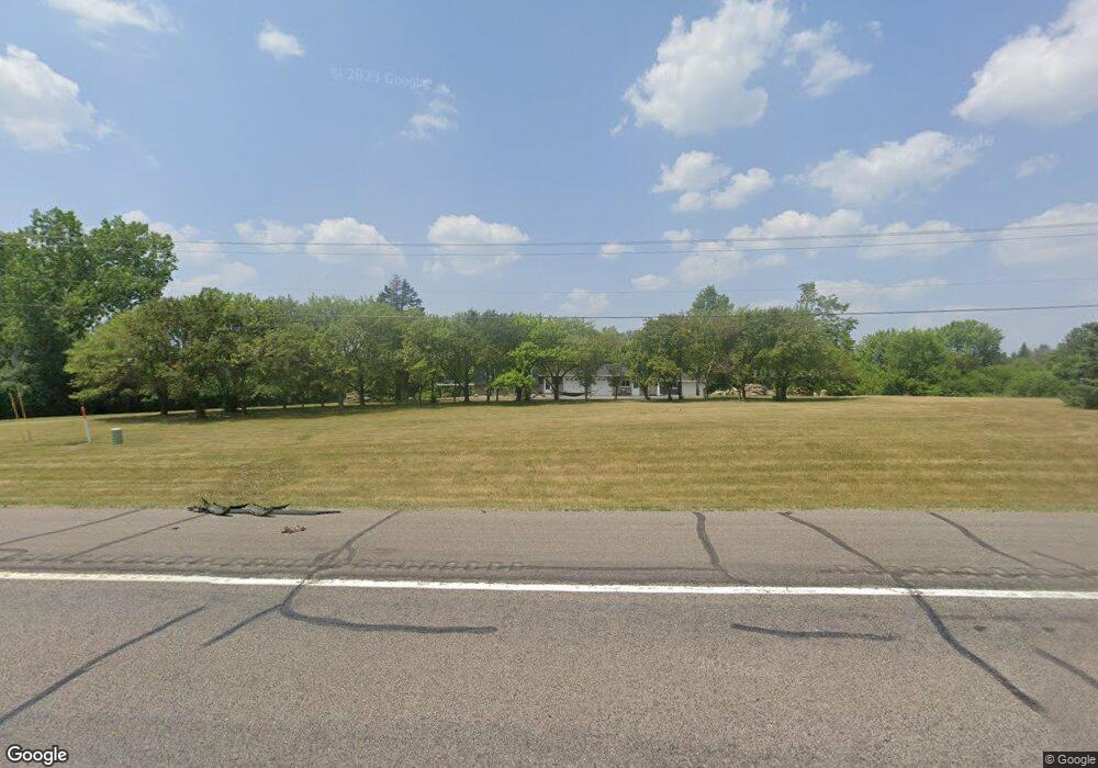
12885 S Robert Trail Rosemount, MN 55068
Estimated Value: $610,000 - $717,867
4
Beds
3
Baths
1,992
Sq Ft
$332/Sq Ft
Est. Value
About This Home
This home is located at 12885 S Robert Trail, Rosemount, MN 55068 and is currently estimated at $662,217, approximately $332 per square foot. 12885 S Robert Trail is a home located in Dakota County with nearby schools including Red Pine Elementary School, Rosemount Middle School, and Rosemount Senior High School.
Ownership History
Date
Name
Owned For
Owner Type
Purchase Details
Closed on
Jan 12, 2004
Sold by
Corwin Jean
Bought by
Ruberg Keith
Current Estimated Value
Purchase Details
Closed on
Nov 20, 1998
Sold by
Rhoads Rennee and Rhoads Arlo
Bought by
Corwin Jean M
Create a Home Valuation Report for This Property
The Home Valuation Report is an in-depth analysis detailing your home's value as well as a comparison with similar homes in the area
Home Values in the Area
Average Home Value in this Area
Purchase History
| Date | Buyer | Sale Price | Title Company |
|---|---|---|---|
| Ruberg Keith | $389,000 | -- | |
| Corwin Jean M | $169,000 | -- |
Source: Public Records
Mortgage History
| Date | Status | Borrower | Loan Amount |
|---|---|---|---|
| Closed | Corwin Jean M | -- |
Source: Public Records
Tax History Compared to Growth
Tax History
| Year | Tax Paid | Tax Assessment Tax Assessment Total Assessment is a certain percentage of the fair market value that is determined by local assessors to be the total taxable value of land and additions on the property. | Land | Improvement |
|---|---|---|---|---|
| 2024 | $6,082 | $575,900 | $211,100 | $364,800 |
| 2023 | $6,082 | $550,600 | $213,400 | $337,200 |
| 2022 | $5,232 | $542,400 | $212,600 | $329,800 |
| 2021 | $4,936 | $460,500 | $184,900 | $275,600 |
| 2020 | $5,102 | $424,600 | $176,100 | $248,500 |
| 2019 | $5,005 | $421,700 | $167,700 | $254,000 |
| 2018 | $4,901 | $432,400 | $159,700 | $272,700 |
| 2017 | $5,062 | $409,000 | $152,200 | $256,800 |
| 2016 | $4,865 | $404,200 | $173,000 | $231,200 |
| 2015 | $4,634 | $379,249 | $166,647 | $212,602 |
| 2014 | -- | $359,520 | $156,944 | $202,576 |
| 2013 | -- | $344,151 | $144,486 | $199,665 |
Source: Public Records
Map
Nearby Homes
- 2645 132nd Ct W
- 13290 Cadogan Way
- 13341 Cadogan Way
- 13420 Cadogan Way
- 12470 Blanca Ave W
- 13351 Cadogan Way
- 13360 Cadogan Way
- 13371 Cadogan Way
- 13370 Cadogan Way
- 13380 Cadogan Way
- 13433 Brick Path
- 13382 Couchtown Ct
- 2574 136th St W Unit 102
- 13635 Brick Path
- 13464 Coachford Ave
- 13134 Crolly Ct
- 13638 Brass Pkwy Unit 32
- 13692 Brookview Path
- 3275 Coleshire Path Unit 24
- 13670 Carrach Ave Unit 301
- 12890 Dodd Blvd
- 12888 S Robert Trail
- 12976 S Robert Trail
- 12960 Dodd Blvd
- 12795 S Robert Trail
- 12800 S Robert Trail
- 12861 Dodd Blvd
- 12802 S Robert Trail
- 12915 Dodd Blvd
- 12790 Dodd Blvd
- 13037 Charlston Way
- 12919 Bolivia Ave W
- 12805 Bolivia Ave W
- 12725 S Robert Trail
- 12750 S Robert Trail
- 13086 Dodd Blvd
- 13032 Charlston Way
- 12769 Bolivia Ave W
- 12761 Dodd Blvd
- 2800 130th St W