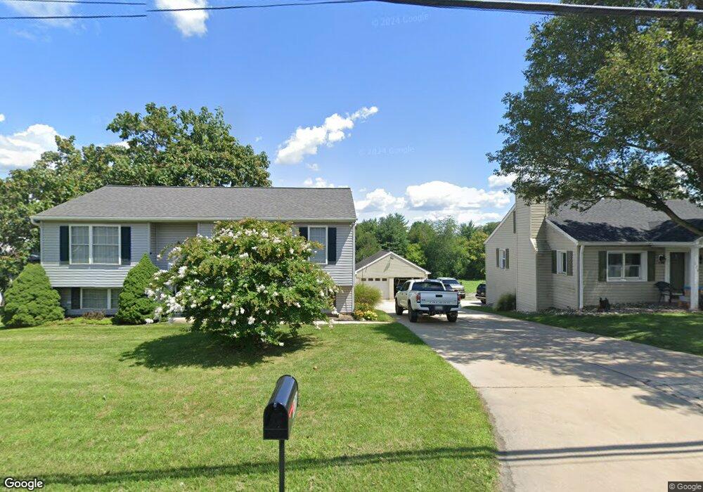
128A N Main St Union Bridge, MD 21791
Estimated Value: $304,188 - $323,000
Studio
2
Baths
1,108
Sq Ft
$283/Sq Ft
Est. Value
About This Home
This home is located at 128A N Main St, Union Bridge, MD 21791 and is currently estimated at $313,547, approximately $282 per square foot. 128A N Main St is a home located in Carroll County with nearby schools including Elmer A. Wolfe Elementary School, Northwest Middle School, and Francis Scott Key High School.
Ownership History
Date
Name
Owned For
Owner Type
Purchase Details
Closed on
Dec 10, 2009
Sold by
Pare Andre
Bought by
Pare Andre and Pare Madeleine
Current Estimated Value
Purchase Details
Closed on
May 1, 2009
Sold by
Pare & Re Trustee
Bought by
Pare Andre and Pare Madeleine
Purchase Details
Closed on
Oct 14, 2004
Sold by
Pare & Re
Bought by
Pare Andre and Pare Madeleine
Create a Home Valuation Report for This Property
The Home Valuation Report is an in-depth analysis detailing your home's value as well as a comparison with similar homes in the area
Purchase History
| Date | Buyer | Sale Price | Title Company |
|---|---|---|---|
| Pare Andre | -- | -- | |
| Pare Andre | -- | -- | |
| Pare Andre | -- | -- |
Source: Public Records
Tax History
| Year | Tax Paid | Tax Assessment Tax Assessment Total Assessment is a certain percentage of the fair market value that is determined by local assessors to be the total taxable value of land and additions on the property. | Land | Improvement |
|---|---|---|---|---|
| 2025 | $3,845 | $257,500 | $0 | $0 |
| 2024 | $3,386 | $226,300 | $0 | $0 |
| 2023 | $2,868 | $195,100 | $71,000 | $124,100 |
| 2022 | $2,833 | $192,733 | $0 | $0 |
| 2021 | $2,798 | $190,367 | $0 | $0 |
| 2020 | $2,763 | $188,000 | $71,000 | $117,000 |
| 2019 | $2,782 | $188,000 | $71,000 | $117,000 |
| 2018 | $2,763 | $188,000 | $71,000 | $117,000 |
| 2017 | $2,868 | $195,100 | $0 | $0 |
| 2016 | -- | $195,100 | $0 | $0 |
| 2015 | -- | $195,100 | $0 | $0 |
| 2014 | -- | $197,200 | $0 | $0 |
Source: Public Records
Map
Nearby Homes
- 100 George St
- 312 E Broadway St
- 314 E Broadway St
- 57B Hoff Rd
- 244 Stem Rd
- 285 Stem Rd
- 0 Stem Rd
- 3875 Bark Hill Rd
- 101 Clear Ridge Rd
- 6200 Middleburg Rd
- 118 S Clear Ridge Rd
- 0 Crouse Mill Rd Unit MDCR2032650
- 0 Crouse Mill Rd Unit MDCR2032878
- 0 Crouse Mill
- 1309 Trevanion Rd
- 3348 Uniontown Rd
- 1038 Green Valley Rd
- 3190 Vista Ct
- 120 Water St
- 9630 B Clemsonville Rd
- 128 N Main St
- 130 N Main St
- 126 N Main St
- 4877 Bark Hill Rd
- 133 N Main St
- 131 N Main St
- 0 Union Bridge Rd Unit 1006847854
- 0 Union Bridge Rd Unit 1001934108
- 124 N Main St
- 129 N Main St
- 137 Union Bridge Rd
- 4871 Bark Hill Rd
- 125 N Main St
- 4880 Bark Hill Rd
- 136 Union Bridge Rd
- 123 N Main St
- 122 N Main St
- 141 Union Bridge Rd
- 138 Union Bridge Rd
- 121 N Main St
Your Personal Tour Guide
Ask me questions while you tour the home.