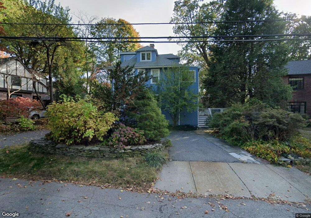
129 Brackett Rd Newton, MA 02458
Newton Corner NeighborhoodEstimated Value: $1,840,000 - $2,354,000
3
Beds
4
Baths
2,429
Sq Ft
$877/Sq Ft
Est. Value
About This Home
This home is located at 129 Brackett Rd, Newton, MA 02458 and is currently estimated at $2,130,168, approximately $876 per square foot. 129 Brackett Rd is a home located in Middlesex County with nearby schools including Ward Elementary School, Bigelow Middle School, and Newton North High School.
Ownership History
Date
Name
Owned For
Owner Type
Purchase Details
Closed on
Jun 26, 2009
Sold by
Greenstein Bennett L and Greenstein Elaine L
Bought by
Egilmez Kaan and Cakiner-Egilmez Tulay
Current Estimated Value
Home Financials for this Owner
Home Financials are based on the most recent Mortgage that was taken out on this home.
Original Mortgage
$523,750
Interest Rate
4.92%
Mortgage Type
Purchase Money Mortgage
Purchase Details
Closed on
Jun 28, 1996
Sold by
Homans Leslie A
Bought by
Greenstein Bennett L and Greenstein Elaine L
Home Financials for this Owner
Home Financials are based on the most recent Mortgage that was taken out on this home.
Original Mortgage
$130,000
Interest Rate
8.05%
Mortgage Type
Purchase Money Mortgage
Create a Home Valuation Report for This Property
The Home Valuation Report is an in-depth analysis detailing your home's value as well as a comparison with similar homes in the area
Home Values in the Area
Average Home Value in this Area
Purchase History
| Date | Buyer | Sale Price | Title Company |
|---|---|---|---|
| Egilmez Kaan | $865,000 | -- | |
| Greenstein Bennett L | $530,000 | -- |
Source: Public Records
Mortgage History
| Date | Status | Borrower | Loan Amount |
|---|---|---|---|
| Open | Greenstein Bennett L | $510,000 | |
| Closed | Egilmez Kaan | $523,750 | |
| Previous Owner | Greenstein Bennett L | $125,000 | |
| Previous Owner | Greenstein Bennett L | $130,000 |
Source: Public Records
Tax History Compared to Growth
Tax History
| Year | Tax Paid | Tax Assessment Tax Assessment Total Assessment is a certain percentage of the fair market value that is determined by local assessors to be the total taxable value of land and additions on the property. | Land | Improvement |
|---|---|---|---|---|
| 2025 | $16,315 | $1,664,800 | $1,344,600 | $320,200 |
| 2024 | $15,775 | $1,616,300 | $1,305,400 | $310,900 |
| 2023 | $15,078 | $1,481,100 | $998,700 | $482,400 |
| 2022 | $14,427 | $1,371,400 | $924,700 | $446,700 |
| 2021 | $13,921 | $1,293,800 | $872,400 | $421,400 |
| 2020 | $13,433 | $1,286,700 | $872,400 | $414,300 |
| 2019 | $13,054 | $1,249,200 | $847,000 | $402,200 |
| 2018 | $12,419 | $1,147,800 | $768,500 | $379,300 |
| 2017 | $12,041 | $1,082,800 | $725,000 | $357,800 |
| 2016 | $11,517 | $1,012,000 | $677,600 | $334,400 |
| 2015 | $10,194 | $878,000 | $633,300 | $244,700 |
Source: Public Records
Map
Nearby Homes
- 59 Hyde Ave
- 686 Centre St
- 35 George St Unit 35
- 37 George St Unit 37
- 23 Francis St Unit 23-1
- 21 Francis St Unit 21A
- 642 Centre St
- 44 Irving St
- 1004 Centre St
- 5 Merrill Rd
- 206 Franklin St
- 73 Elmore St
- 106 Farlow Rd
- 548 Centre St Unit 5
- 44 Blake St Unit 2
- 3 Cedar St
- 127-129 Withington Rd Unit 1
- 14 Summit St
- 9 The Ledges Rd
- 67 Algonquin Rd