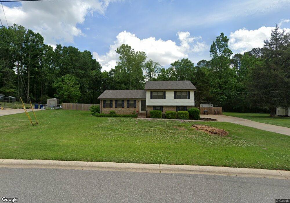
129 Oak St Maylene, AL 35114
Estimated Value: $306,000 - $334,000
--
Bed
1
Bath
1,858
Sq Ft
$173/Sq Ft
Est. Value
About This Home
This home is located at 129 Oak St, Maylene, AL 35114 and is currently estimated at $321,636, approximately $173 per square foot. 129 Oak St is a home located in Shelby County with nearby schools including Thompson Intermediate School, Thompson Middle School, and Thompson High School.
Ownership History
Date
Name
Owned For
Owner Type
Purchase Details
Closed on
Oct 29, 2021
Sold by
Raybon Holly M
Bought by
Lloyd Christopher Michael and Lloyd Amanda S
Current Estimated Value
Home Financials for this Owner
Home Financials are based on the most recent Mortgage that was taken out on this home.
Original Mortgage
$260,500
Outstanding Balance
$238,067
Interest Rate
2.8%
Mortgage Type
New Conventional
Estimated Equity
$83,569
Purchase Details
Closed on
Sep 3, 2002
Sold by
Raybon Holly M and Raybon Richard L
Bought by
Raybon Holly M
Home Financials for this Owner
Home Financials are based on the most recent Mortgage that was taken out on this home.
Original Mortgage
$51,000
Interest Rate
6.3%
Create a Home Valuation Report for This Property
The Home Valuation Report is an in-depth analysis detailing your home's value as well as a comparison with similar homes in the area
Home Values in the Area
Average Home Value in this Area
Purchase History
| Date | Buyer | Sale Price | Title Company |
|---|---|---|---|
| Lloyd Christopher Michael | $280,000 | None Available | |
| Raybon Holly M | -- | -- |
Source: Public Records
Mortgage History
| Date | Status | Borrower | Loan Amount |
|---|---|---|---|
| Open | Lloyd Christopher Michael | $260,500 | |
| Previous Owner | Raybon Holly M | $51,000 |
Source: Public Records
Tax History Compared to Growth
Tax History
| Year | Tax Paid | Tax Assessment Tax Assessment Total Assessment is a certain percentage of the fair market value that is determined by local assessors to be the total taxable value of land and additions on the property. | Land | Improvement |
|---|---|---|---|---|
| 2024 | $1,288 | $23,860 | $0 | $0 |
| 2023 | $1,156 | $22,160 | $0 | $0 |
| 2022 | $1,033 | $19,880 | $0 | $0 |
| 2021 | $915 | $17,700 | $0 | $0 |
| 2020 | $853 | $16,560 | $0 | $0 |
| 2019 | $807 | $15,700 | $0 | $0 |
| 2017 | $684 | $13,420 | $0 | $0 |
| 2015 | $665 | $13,080 | $0 | $0 |
| 2014 | $648 | $12,760 | $0 | $0 |
Source: Public Records
Map
Nearby Homes
- 128 Oak St
- 104 Maple St
- 1315 Yellowleaf Cir
- 409 Sweet Leaf Ln
- 155 Victoria Station
- 1166 Eagle Dr
- 549 Ramsgate Dr
- 545 Ramsgate Dr
- 236 Queens Gate
- 217 Kensington Ln
- 309 Cedar Grove Ct
- 501 Ramsgate Dr
- 208 Queens Gate
- 731 Crider Rd
- 226 Lake Forest Way
- 537 Ramsgate Dr
- 306 Mayfair Cir
- 217 Mayfair Park
- 280 Cedar Grove Pkwy Unit 34
- 640 Round Rd