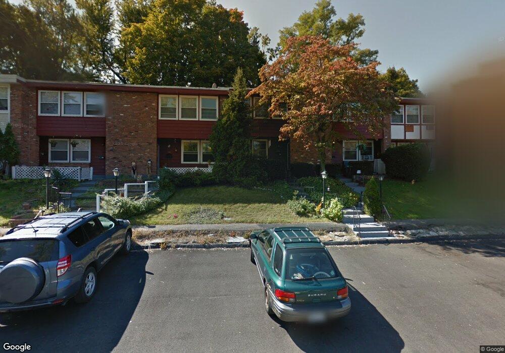
129 Rolling Way Unit H5 Peekskill, NY 10566
Estimated Value: $240,000 - $388,000
Studio
--
Bath
--
Sq Ft
2,570
Sq Ft Lot
About This Home
This home is located at 129 Rolling Way Unit H5, Peekskill, NY 10566 and is currently estimated at $336,116. 129 Rolling Way Unit H5 is a home located in Westchester County with nearby schools including Oakside School, Hillcrest School, and Woodside Elementary School.
Ownership History
Date
Name
Owned For
Owner Type
Purchase Details
Closed on
Oct 31, 2006
Sold by
Hayes Charles B and Hayes Alice J
Bought by
Kelsey Theodore Leigh and Kelsey Anne W
Current Estimated Value
Home Financials for this Owner
Home Financials are based on the most recent Mortgage that was taken out on this home.
Original Mortgage
$259,200
Interest Rate
6.33%
Mortgage Type
Purchase Money Mortgage
Purchase Details
Closed on
Jan 26, 1996
Sold by
Hayes Alice
Bought by
Hayes Kimberly Ann
Purchase Details
Closed on
Aug 2, 1995
Sold by
Patterson Victoria
Bought by
Hayes Alice
Create a Home Valuation Report for This Property
The Home Valuation Report is an in-depth analysis detailing your home's value as well as a comparison with similar homes in the area
Home Values in the Area
Average Home Value in this Area
Purchase History
| Date | Buyer | Sale Price | Title Company |
|---|---|---|---|
| Kelsey Theodore Leigh | $288,000 | None Available | |
| Hayes Kimberly Ann | $90,000 | -- | |
| Hayes Alice | $40,000 | -- |
Source: Public Records
Mortgage History
| Date | Status | Borrower | Loan Amount |
|---|---|---|---|
| Previous Owner | Kelsey Theodore Leigh | $259,200 |
Source: Public Records
Tax History
| Year | Tax Paid | Tax Assessment Tax Assessment Total Assessment is a certain percentage of the fair market value that is determined by local assessors to be the total taxable value of land and additions on the property. | Land | Improvement |
|---|---|---|---|---|
| 2024 | $5,073 | $5,464 | $1,300 | $4,164 |
| 2023 | $4,964 | $5,464 | $1,300 | $4,164 |
| 2022 | $4,832 | $5,464 | $1,300 | $4,164 |
| 2021 | $6,419 | $5,464 | $1,300 | $4,164 |
| 2020 | $4,235 | $5,464 | $1,300 | $4,164 |
| 2019 | $3,933 | $5,464 | $1,300 | $4,164 |
| 2018 | $1,098 | $5,464 | $1,300 | $4,164 |
| 2017 | $79 | $5,464 | $1,300 | $4,164 |
| 2016 | $3,204 | $5,464 | $1,300 | $4,164 |
| 2015 | $2,161 | $5,464 | $1,300 | $4,164 |
| 2014 | $2,161 | $5,464 | $1,300 | $4,164 |
| 2013 | $2,161 | $5,464 | $1,300 | $4,164 |
Source: Public Records
Map
Nearby Homes
- 1 Rolling Way Unit C
- 4 Rolling Way Unit D
- 5 Rolling Way Unit K
- 9 N James St Unit B
- 8 N James St Unit G
- 669 N Division St
- 150 Overlook Ave Unit 4L
- 150 Overlook Ave Unit 1S
- 150 Overlook Ave Unit 6L
- 103 Leda Dr
- 1106 Orchard St
- 1716 Westchester Ave
- 925 Constant Ave
- 1716A Main St
- 1204 Main St
- 956 Paulding St
- 1824 Seabury Place
- 31 Stevenson Ave
- 1463 Lincoln Terrace
- 1 Gilbert St
- 131 Rolling Way Unit 131
- 131 Rolling Way
- 127 Rolling Way
- 133 Rolling Way
- 125 Rolling Way
- 135 Rolling Way
- 135 Rolling Way Unit H-2
- 123 Rolling Way
- 121 Rolling Way
- 121 Rolling Way Unit 9
- 137 Rolling Way
- 640 Kissam Rd
- 644 Kissam Rd
- 642 Kissam Rd
- 646 Kissam Rd
- 638 Kissam Rd
- 119 Rolling Way
- 636 Kissam Rd
- 634 Kissam Rd
- 648 Kissam Rd
Your Personal Tour Guide
Ask me questions while you tour the home.