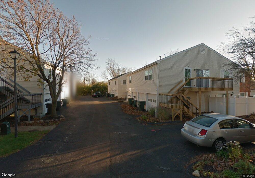
1291 Lowland Ct Columbus, OH 43204
Scioto Woods NeighborhoodEstimated Value: $128,277 - $148,000
2
Beds
1
Bath
968
Sq Ft
$143/Sq Ft
Est. Value
About This Home
This home is located at 1291 Lowland Ct, Columbus, OH 43204 and is currently estimated at $138,319, approximately $142 per square foot. 1291 Lowland Ct is a home located in Franklin County with nearby schools including Valleyview Elementary School, Westmoor Middle School, and West High School.
Ownership History
Date
Name
Owned For
Owner Type
Purchase Details
Closed on
Mar 29, 2010
Sold by
Z & B Trustees Inc
Bought by
Brooks Bernard S
Current Estimated Value
Purchase Details
Closed on
Oct 8, 1997
Sold by
Bergert Harold L
Bought by
Z & B Trustees Inc
Purchase Details
Closed on
Jun 1, 1984
Create a Home Valuation Report for This Property
The Home Valuation Report is an in-depth analysis detailing your home's value as well as a comparison with similar homes in the area
Home Values in the Area
Average Home Value in this Area
Purchase History
| Date | Buyer | Sale Price | Title Company |
|---|---|---|---|
| Brooks Bernard S | -- | Independent | |
| Z & B Trustees Inc | $48,000 | Ohio Title Agency | |
| -- | $35,500 | -- |
Source: Public Records
Tax History Compared to Growth
Tax History
| Year | Tax Paid | Tax Assessment Tax Assessment Total Assessment is a certain percentage of the fair market value that is determined by local assessors to be the total taxable value of land and additions on the property. | Land | Improvement |
|---|---|---|---|---|
| 2024 | $1,257 | $37,810 | $7,880 | $29,930 |
| 2023 | $1,748 | $48,615 | $7,875 | $40,740 |
| 2022 | $608 | $20,480 | $2,700 | $17,780 |
| 2021 | $609 | $20,480 | $2,700 | $17,780 |
| 2020 | $610 | $20,480 | $2,700 | $17,780 |
| 2019 | $357 | $14,640 | $1,930 | $12,710 |
| 2018 | $330 | $14,640 | $1,930 | $12,710 |
| 2017 | $357 | $14,640 | $1,930 | $12,710 |
| 2016 | $334 | $13,790 | $1,750 | $12,040 |
| 2015 | $303 | $13,790 | $1,750 | $12,040 |
| 2014 | $304 | $13,790 | $1,750 | $12,040 |
| 2013 | $326 | $19,705 | $2,485 | $17,220 |
Source: Public Records
Map
Nearby Homes
- 3161 Bowdoin Cir
- 1150 Romona Place
- 3252 Dover Rd
- 3254 Dover Rd
- 2875 Lowell Dr
- 0 Lowell Dr Unit 223009270
- 3307 Rudon Ln
- 3570 Dover Rd
- 3495 La Coste Ln
- 3664 Grimes Dr
- 3757 Gibbstone Dr
- 3761 Gibbstone Dr
- 664 N Wilson Rd
- 2700 Mc Kinley Ave
- 2704 Scioto Station Dr Unit 2704
- 2754 Scioto Station Dr
- 1214 Lake Shore Dr Unit C
- 527 N Hague Ave
- 514 N Hague Ave
- 1301 Lake Shore Dr Unit 199
- 1285 Lowland Ct Unit 102
- 1289 Lowland Ct
- 1287 Lowland Ct
- 1294 Lowland Ct
- 1294 Lowland Ct Unit 97
- 1293 Lowland Ct
- 1299 Lowland Ct Unit 105
- 1292 Lowland Ct Unit 98
- 1302 Lowland Ct
- 1302 Lowland Ct Unit 93
- 1302 Lowland Ct Unit 93 BLDG 25
- 1297 Lowland Ct Unit 108
- 1295 Lowland Ct Unit 107
- 1288 Lowland Ct Unit 100
- 1296 Lowland Ct Unit 96
- 1300 Lowland Ct
- 1290 Lowland Ct
- 1298 Lowland Ct
- 3225 Colony Vista Ln
- 1301 Lowland Ct Unit 110