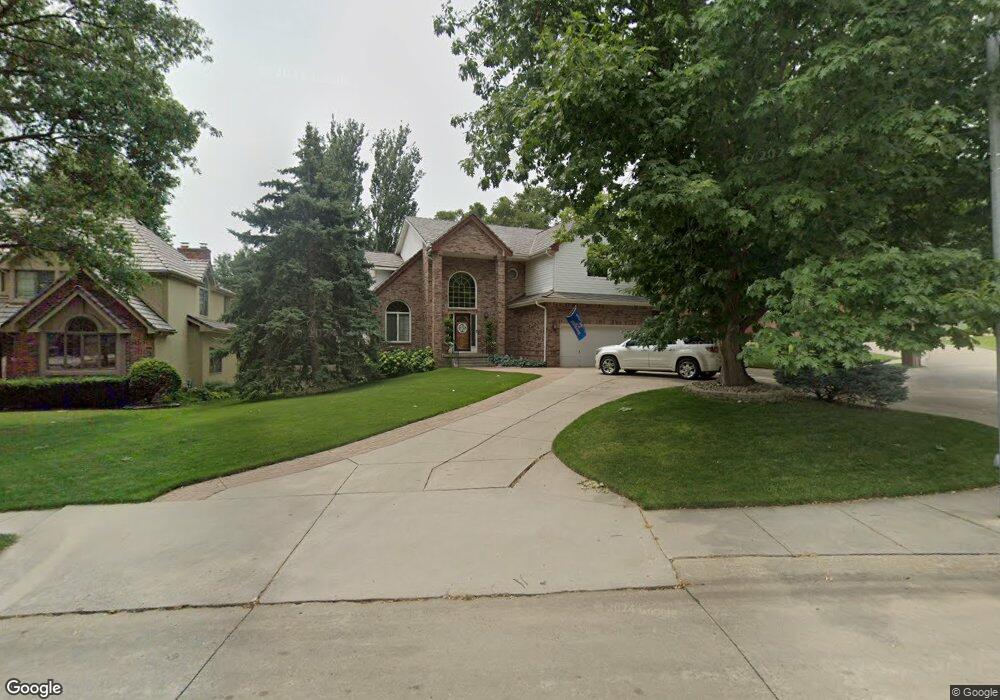
12911 Seward St Omaha, NE 68154
Bryn Mawr NeighborhoodEstimated Value: $537,526 - $629,000
6
Beds
7
Baths
4,154
Sq Ft
$139/Sq Ft
Est. Value
About This Home
This home is located at 12911 Seward St, Omaha, NE 68154 and is currently estimated at $576,132, approximately $138 per square foot. 12911 Seward St is a home located in Douglas County with nearby schools including Columbian Elementary School, Beveridge Magnet Middle School, and Burke High School.
Ownership History
Date
Name
Owned For
Owner Type
Purchase Details
Closed on
Dec 5, 2002
Sold by
Beal Peter L and Beal Donna L
Bought by
Horning Tyler J and Horning Cynthia R
Current Estimated Value
Home Financials for this Owner
Home Financials are based on the most recent Mortgage that was taken out on this home.
Original Mortgage
$263,000
Outstanding Balance
$109,997
Interest Rate
6%
Mortgage Type
Purchase Money Mortgage
Estimated Equity
$466,135
Purchase Details
Closed on
Mar 11, 2001
Sold by
Mckeone Jeanine M and Mckeone Philip T
Bought by
Beal Peter L and Beal Donna L
Create a Home Valuation Report for This Property
The Home Valuation Report is an in-depth analysis detailing your home's value as well as a comparison with similar homes in the area
Home Values in the Area
Average Home Value in this Area
Purchase History
| Date | Buyer | Sale Price | Title Company |
|---|---|---|---|
| Horning Tyler J | $330,000 | -- | |
| Beal Peter L | $290,000 | -- |
Source: Public Records
Mortgage History
| Date | Status | Borrower | Loan Amount |
|---|---|---|---|
| Open | Horning Tyler J | $263,000 |
Source: Public Records
Tax History Compared to Growth
Tax History
| Year | Tax Paid | Tax Assessment Tax Assessment Total Assessment is a certain percentage of the fair market value that is determined by local assessors to be the total taxable value of land and additions on the property. | Land | Improvement |
|---|---|---|---|---|
| 2025 | $6,675 | $485,400 | $43,200 | $442,200 |
| 2024 | $8,709 | $412,800 | $43,200 | $369,600 |
| 2023 | $8,709 | $412,800 | $43,200 | $369,600 |
| 2022 | $7,826 | $366,600 | $43,200 | $323,400 |
| 2021 | $7,759 | $366,600 | $43,200 | $323,400 |
| 2020 | $7,217 | $337,100 | $43,200 | $293,900 |
| 2019 | $7,238 | $337,100 | $43,200 | $293,900 |
| 2018 | $6,199 | $288,300 | $43,200 | $245,100 |
| 2017 | $6,230 | $288,300 | $43,200 | $245,100 |
| 2016 | $6,648 | $309,800 | $58,900 | $250,900 |
| 2015 | $6,129 | $289,500 | $55,000 | $234,500 |
| 2014 | $6,129 | $289,500 | $55,000 | $234,500 |
Source: Public Records
Map
Nearby Homes
- 12930 Hamilton St
- 1325 N 127th Ave
- 12360 Franklin St
- 12627 Patrick Cir
- 1726 N 131st Cir
- 12329 Parker Cir
- 12311 Decatur St
- 12924 Izard St
- 1403 N 133rd St
- 2118 N 125th Cir
- 2024 N 124th Cir
- 13407 Seward St
- 719 N 130th Plaza Unit A-11
- 705 N 129th Plaza
- 759 N 130th Plaza Unit 2B3
- 12236 Rose Ln
- 12717 Erskine St
- 2305 N 127th Cir
- 13426 Seward St
- 805 N 132nd Ave
- 12905 Seward St
- 12917 Seward St
- 12912 Hamilton St
- 12906 Hamilton St
- 12908 Seward St
- 12923 Seward St
- 12918 Hamilton St
- 12929 Seward St
- 12920 Seward St
- 1509 N 129th St
- 1515 N 129th St
- 1618 N 129th St
- 1603 N 129th St
- 1509 N 129th Avenue Cir
- 12816 Hamilton St
- 1502 N 129th St
- 12924 Hamilton St
- 12930 Seward St
- 1611 N 129th St
- 1519 129 Ave