12921 Link Dr Shakopee, MN 55379
Estimated Value: $492,000 - $683,000
3
Beds
3
Baths
2,324
Sq Ft
$257/Sq Ft
Est. Value
About This Home
This home is located at 12921 Link Dr, Shakopee, MN 55379 and is currently estimated at $597,940, approximately $257 per square foot. 12921 Link Dr is a home located in Scott County with nearby schools including Jackson Elementary School, East Middle School, and Shakopee Senior High School.
Ownership History
Date
Name
Owned For
Owner Type
Purchase Details
Closed on
Dec 15, 2016
Sold by
Wagner Anita C and Wagner Randall J
Bought by
Dauphin Alexander Edward and Kelley Marisa
Current Estimated Value
Home Financials for this Owner
Home Financials are based on the most recent Mortgage that was taken out on this home.
Original Mortgage
$107,920
Interest Rate
3.57%
Mortgage Type
Future Advance Clause Open End Mortgage
Purchase Details
Closed on
Jun 3, 2010
Sold by
Lakeland Construction Finance Llc
Bought by
Wagner Anita C
Purchase Details
Closed on
Jul 12, 2005
Sold by
Anderson Owen Arlo and Anderson Marlys L
Bought by
Manley Brothers Construction Inc
Create a Home Valuation Report for This Property
The Home Valuation Report is an in-depth analysis detailing your home's value as well as a comparison with similar homes in the area
Home Values in the Area
Average Home Value in this Area
Purchase History
| Date | Buyer | Sale Price | Title Company |
|---|---|---|---|
| Dauphin Alexander Edward | $134,900 | Scott County Abstract & Titl | |
| Wagner Anita C | $55,000 | -- | |
| Manley Brothers Construction Inc | $912,500 | -- |
Source: Public Records
Mortgage History
| Date | Status | Borrower | Loan Amount |
|---|---|---|---|
| Closed | Dauphin Alexander Edward | $107,920 |
Source: Public Records
Tax History Compared to Growth
Tax History
| Year | Tax Paid | Tax Assessment Tax Assessment Total Assessment is a certain percentage of the fair market value that is determined by local assessors to be the total taxable value of land and additions on the property. | Land | Improvement |
|---|---|---|---|---|
| 2025 | $4,792 | $553,200 | $218,700 | $334,500 |
| 2024 | $4,492 | $554,800 | $218,800 | $336,000 |
| 2023 | $4,916 | $519,300 | $202,100 | $317,200 |
| 2022 | $4,542 | $555,300 | $210,500 | $344,800 |
| 2021 | $3,982 | $439,900 | $151,100 | $288,800 |
| 2020 | $2,350 | $434,800 | $148,500 | $286,300 |
| 2019 | $1,328 | $232,000 | $134,200 | $97,800 |
| 2018 | $1,906 | $0 | $0 | $0 |
| 2016 | $2,190 | $0 | $0 | $0 |
Source: Public Records
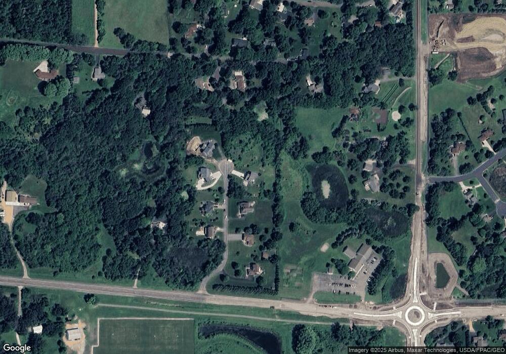
Map
Nearby Homes
- 1573 Creekside Ln
- 736 Barrington Dr E
- 13400 Townline Ave
- 970 Westchester Ave
- 1646 Liberty Cir
- 1679 Nordland St
- 125 Pottok Ln
- 1949 Lusitano St
- 2065 Lusitano St
- 1969 Lusitano St
- 2009 Lusitano St
- 1XX Stonebrooke Curve
- 3XX Stonebrooke Curve
- 13599 Stonebrooke Curve
- 1353 Ridge Ln
- 1574 Liberty Cir Unit 2406
- 1507 Liberty Cir
- 1363 Ridge Ln
- 627 Providence Dr
- 1534 Liberty Cir
- 12921 12921 Link Dr
- L 4 B 2 Link Dr
- 12945 Link Dr
- xxxx Link Dr
- L 4 B 1 Link Dr
- 12950 12950 Link Dr
- 12894 Link Dr
- 0 Unassigned Address Dr Unit 3911060
- 12961 Link Dr
- 12950 Link Dr
- 12970 Link Dr
- 12985 Link Dr
- 12831 Link Dr
- 300 130th St W
- 12830 Link Dr
- 85 128th St W
- 12862 Townline Ave
- 12846 Townline Ave
- 251 128th St W
- 110 128th St W