1294 Lost Angel Rd Boulder, CO 80302
Sugarloaf NeighborhoodEstimated Value: $842,000 - $1,131,000
3
Beds
2
Baths
1,526
Sq Ft
$632/Sq Ft
Est. Value
About This Home
This home is located at 1294 Lost Angel Rd, Boulder, CO 80302 and is currently estimated at $965,062, approximately $632 per square foot. 1294 Lost Angel Rd is a home located in Boulder County with nearby schools including Flatirons Elementary School, Casey Middle School, and Boulder High School.
Ownership History
Date
Name
Owned For
Owner Type
Purchase Details
Closed on
Mar 31, 2023
Sold by
Unknown
Bought by
Tennenbaum Merrin Lisa
Current Estimated Value
Purchase Details
Closed on
Oct 13, 1995
Sold by
Fischer Rolland J and Wall Betty J
Bought by
Maddy Steven L
Purchase Details
Closed on
Aug 14, 1992
Bought by
Maddy Steven L
Purchase Details
Closed on
Jun 12, 1992
Bought by
Maddy Steven L
Purchase Details
Closed on
Jan 5, 1987
Bought by
Maddy Steven L
Create a Home Valuation Report for This Property
The Home Valuation Report is an in-depth analysis detailing your home's value as well as a comparison with similar homes in the area
Home Values in the Area
Average Home Value in this Area
Purchase History
We collect this data history from publicly available records. To have your information removed, we recommend requesting removal directly through your county’s website.
| Date | Buyer | Sale Price | Title Company |
|---|---|---|---|
| Tennenbaum Merrin Lisa | -- | None Listed On Document | |
| Maddy Steven L | $2,240 | -- | |
| Maddy Steven L | $149,900 | -- | |
| Maddy Steven L | -- | -- | |
| Maddy Steven L | $95,000 | -- |
Source: Public Records
Tax History
| Year | Tax Paid | Tax Assessment Tax Assessment Total Assessment is a certain percentage of the fair market value that is determined by local assessors to be the total taxable value of land and additions on the property. | Land | Improvement |
|---|---|---|---|---|
| 2025 | $4,762 | $62,648 | $15,966 | $46,682 |
| 2024 | $4,727 | $57,581 | $14,675 | $42,906 |
| 2023 | $4,642 | $62,109 | $14,264 | $51,529 |
| 2022 | $3,917 | $50,338 | $12,163 | $38,175 |
| 2021 | $3,712 | $51,786 | $12,513 | $39,273 |
| 2020 | $2,931 | $41,992 | $13,728 | $28,264 |
| 2019 | $2,885 | $41,992 | $13,728 | $28,264 |
| 2018 | $2,574 | $38,289 | $8,496 | $29,793 |
| 2017 | $3,077 | $42,332 | $9,393 | $32,939 |
| 2016 | $3,275 | $39,538 | $10,985 | $28,553 |
| 2015 | $3,087 | $32,620 | $9,870 | $22,750 |
| 2014 | $2,670 | $32,620 | $9,870 | $22,750 |
Source: Public Records
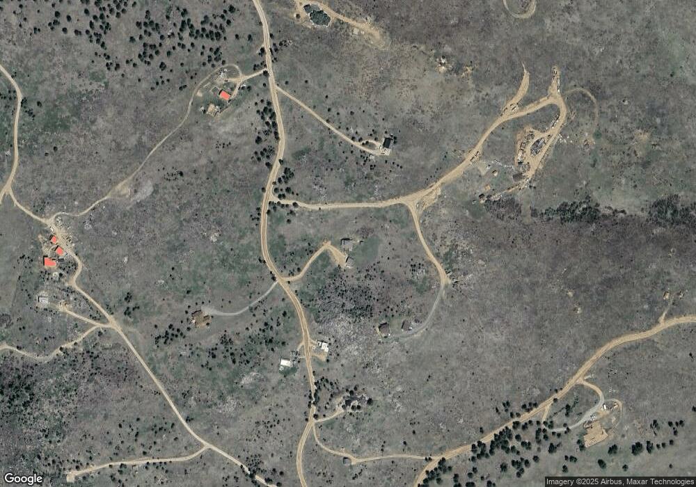
Map
Nearby Homes
- 0 Good Friday Rd
- 274 Boulder View Rd
- 201 Wild Tiger Rd
- 660 S Peak Rd
- 31 Wild Tiger Ln
- 35112 Boulder Canyon Dr
- 149 Millionaire Dr W
- 408 Millionaire Dr W
- 155 Millionaire Dr W
- 6055 Fourmile Canyon Dr
- 7893 Fourmile Canyon Dr
- 4324 Fourmile Canyon Dr
- 105 Millionaire Dr E Unit 4
- 105 Millionaire Dr E
- 35310 Boulder Canyon Dr
- 5566 Sugarloaf Rd
- 6122 Fourmile Canyon Dr
- 6112 Fourmile Canyon Dr
- 718 Emerson Gulch Rd
- 496 Escape Route
- 1362 Lost Angel Rd
- 1244 Lost Angel Rd
- 1440 Lost Angel Rd
- 1177 Lost Angel Rd
- 1210 Lost Angel Rd
- 1358 Lost Angel Rd
- 1483 Lost Angel Rd
- 0 Owl Creek Rd
- 1552 Lost Angel Rd
- 1554 Lost Angel Rd
- 234 Owl Creek Rd
- 845 Lost Angel Rd
- 1635 Lost Angel Rd
- 730 Lost Angel Rd
- 107 Owl Creek Rd
- 61 Old Townsite Rd
- 3923 Sugarloaf Rd
- 239 Owl Creek Rd
- 35 Owl Creek Rd
- 50 N Gulch Rd
Your Personal Tour Guide
Ask me questions while you tour the home.