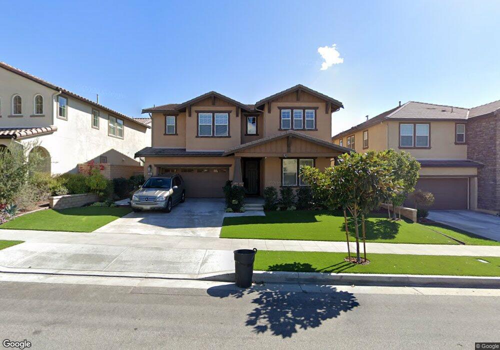
1294 N Macneil Dr Azusa, CA 91702
Rosedale NeighborhoodEstimated Value: $1,208,000 - $1,576,000
4
Beds
5
Baths
3,198
Sq Ft
$428/Sq Ft
Est. Value
About This Home
This home is located at 1294 N Macneil Dr, Azusa, CA 91702 and is currently estimated at $1,369,112, approximately $428 per square foot. 1294 N Macneil Dr is a home with nearby schools including Henry Dalton Elementary School, Azusa High School, and St. Frances of Rome School.
Ownership History
Date
Name
Owned For
Owner Type
Purchase Details
Closed on
Jan 28, 2015
Sold by
Chan Elwin J and Chan Debbie K
Bought by
Elwin J & Debbie K Chan Family Trust
Current Estimated Value
Purchase Details
Closed on
Feb 5, 2014
Sold by
Tri Pointe Homes Inc
Bought by
Chan Elwin and Chan Debbie K
Create a Home Valuation Report for This Property
The Home Valuation Report is an in-depth analysis detailing your home's value as well as a comparison with similar homes in the area
Home Values in the Area
Average Home Value in this Area
Purchase History
| Date | Buyer | Sale Price | Title Company |
|---|---|---|---|
| Elwin J & Debbie K Chan Family Trust | -- | None Available | |
| Chan Elwin | $852,000 | Fidelity National Title Co |
Source: Public Records
Tax History Compared to Growth
Tax History
| Year | Tax Paid | Tax Assessment Tax Assessment Total Assessment is a certain percentage of the fair market value that is determined by local assessors to be the total taxable value of land and additions on the property. | Land | Improvement |
|---|---|---|---|---|
| 2025 | $6,096 | $415,727 | $151,328 | $264,399 |
| 2024 | $6,096 | $407,576 | $148,361 | $259,215 |
| 2023 | $5,928 | $399,585 | $145,452 | $254,133 |
| 2022 | $5,844 | $391,750 | $142,600 | $249,150 |
| 2021 | $5,685 | $384,069 | $139,804 | $244,265 |
| 2019 | $5,493 | $372,679 | $135,658 | $237,021 |
| 2018 | $5,243 | $365,373 | $132,999 | $232,374 |
| 2016 | $5,002 | $351,187 | $127,836 | $223,351 |
| 2015 | $4,937 | $345,913 | $125,916 | $219,997 |
| 2014 | -- | $412,875 | $240,075 | $172,800 |
Source: Public Records
Map
Nearby Homes
- 1336 Macneil Dr
- 428 Meyer Ln
- 410 Meyer Ln
- 356 Meyer Ln
- 731 E Orange Blossom Way
- Iris- Plan 10 at La Colina Estates
- 676 E Desert Willow Rd
- 869 E Mountain Way Unit D
- 644 E Mandevilla Way
- 959 N Sunrise Ln Unit A
- 652 Desert Willow Rd
- 1019 W Milton Dr
- 865 Orchid Way Unit B
- 1025 Sierra Madre Ave
- 332 Snapdragon Ln
- 829 E Cassia Ln Unit A
- 245 Snapdragon Ln
- 1053 Lakeview Terrace
- 951 N Cornejo Way
- 929 N Cornejo Way
- 1288 Macneil Dr
- 1300 N Macneil Dr
- 1282 N Macneil Dr
- 1306 N Macneil Dr
- 1297 N Macneil Dr
- 1264 N Lindley St
- 1312 Macneil Dr
- 1303 N Macneil Dr
- 1291 N Macneil Dr
- 1309 N Macneil Dr
- 1285 N Macneil Dr
- 1321 N Macneil Dr
- 1318 N Macneil Dr
- 1279 N Macneil Dr
- 1327 N Macneil Dr
- 1255 N Lindley St
- 1324 N Macneil Dr
- 1252 N Lindley St
- 1312 N Crape Myrtle Dr