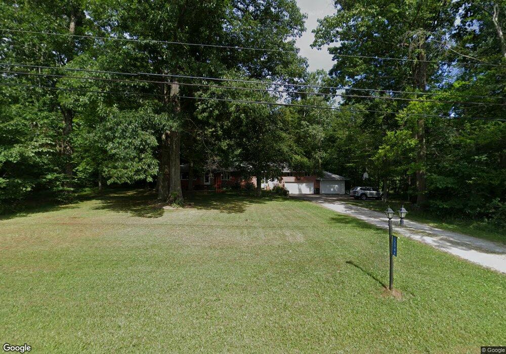
12944 Osborne Ave NE Alliance, OH 44601
Estimated Value: $277,419 - $338,000
3
Beds
2
Baths
1,632
Sq Ft
$188/Sq Ft
Est. Value
About This Home
This home is located at 12944 Osborne Ave NE, Alliance, OH 44601 and is currently estimated at $307,605, approximately $188 per square foot. 12944 Osborne Ave NE is a home located in Stark County with nearby schools including Marlington High School.
Ownership History
Date
Name
Owned For
Owner Type
Purchase Details
Closed on
Jul 22, 1997
Sold by
Ellis G Erb Inc
Bought by
Erb Thomas L and Erb Becky L
Current Estimated Value
Home Financials for this Owner
Home Financials are based on the most recent Mortgage that was taken out on this home.
Original Mortgage
$92,000
Outstanding Balance
$13,700
Interest Rate
7.94%
Mortgage Type
New Conventional
Estimated Equity
$293,905
Purchase Details
Closed on
Oct 10, 1995
Sold by
Fleischer Janet S
Bought by
Erb Ellis G
Create a Home Valuation Report for This Property
The Home Valuation Report is an in-depth analysis detailing your home's value as well as a comparison with similar homes in the area
Home Values in the Area
Average Home Value in this Area
Purchase History
| Date | Buyer | Sale Price | Title Company |
|---|---|---|---|
| Erb Thomas L | $133,500 | -- | |
| Erb Ellis G | $85,000 | -- |
Source: Public Records
Mortgage History
| Date | Status | Borrower | Loan Amount |
|---|---|---|---|
| Open | Erb Thomas L | $92,000 |
Source: Public Records
Tax History Compared to Growth
Tax History
| Year | Tax Paid | Tax Assessment Tax Assessment Total Assessment is a certain percentage of the fair market value that is determined by local assessors to be the total taxable value of land and additions on the property. | Land | Improvement |
|---|---|---|---|---|
| 2025 | -- | $81,830 | $23,170 | $58,660 |
| 2024 | -- | $81,830 | $23,170 | $58,660 |
| 2023 | $2,498 | $67,800 | $16,520 | $51,280 |
| 2022 | $2,507 | $67,800 | $16,520 | $51,280 |
| 2021 | $2,515 | $67,800 | $16,520 | $51,280 |
| 2020 | $2,320 | $57,300 | $13,900 | $43,400 |
| 2019 | $2,303 | $57,300 | $13,900 | $43,400 |
| 2018 | $2,199 | $57,300 | $13,900 | $43,400 |
| 2017 | $1,820 | $43,800 | $14,710 | $29,090 |
| 2016 | $1,821 | $43,800 | $14,710 | $29,090 |
| 2015 | $1,824 | $43,800 | $14,710 | $29,090 |
| 2014 | $1,718 | $38,160 | $12,820 | $25,340 |
| 2013 | $841 | $38,160 | $12,820 | $25,340 |
Source: Public Records
Map
Nearby Homes
- 8736 Lynn Park St NE
- 14265 Reeder Ave NE
- 7377 Pontius St NE
- 0 New Milford Rd Unit 5119787
- 167 State Route 44
- 6180 Edison St NE
- 4829 Laubert Rd
- 3952 Laubert Rd
- 0 Pontius St NE
- 5615 Laubert Rd
- 12561 Duquette Ave NE
- 3990 Edison St NE
- 14920 Mccallum Ave NE
- 12415 Snode St NE
- 12355 Edison St NE
- 11960 Freshley Ave NE
- 13004 Edison St NE
- 10666 Wilma Ave NE
- 5296 Eberly Rd
- 1026 Hartville Rd N
- 12982 Osborne Ave NE
- 12965 Osborne Ave NE
- 12850 Osborne Ave NE
- 8705 Lynn Park St NE
- 8757 Lynn Park St NE
- 8682 Lynn Park St NE
- 12786 Osborne Ave NE
- 8775 Lynn Park St NE
- 13075 Osborne Ave NE
- 12762 Osborne Ave NE
- 12749 Osborne Ave NE
- 8754 Lynn Park St NE
- 8805 Lynn Park St NE
- 8780 Lynn Park St NE
- 8639 Lynnett St NE
- 8821 Lynn Park St NE
- 8687 Lynnett St NE
- 8741 Lynnett St NE
- 12931 Wentz Ave NE
- 8820 Lynn Park St NE