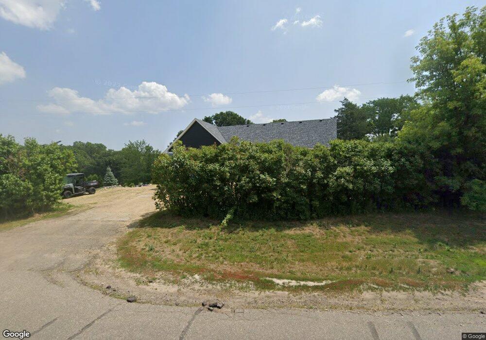
12976 S Robert Trail Rosemount, MN 55068
Estimated Value: $570,000 - $1,415,000
3
Beds
2
Baths
4,174
Sq Ft
$228/Sq Ft
Est. Value
About This Home
This home is located at 12976 S Robert Trail, Rosemount, MN 55068 and is currently estimated at $951,092, approximately $227 per square foot. 12976 S Robert Trail is a home located in Dakota County with nearby schools including Red Pine Elementary School, Rosemount Middle School, and Rosemount Senior High School.
Ownership History
Date
Name
Owned For
Owner Type
Purchase Details
Closed on
Sep 23, 2016
Sold by
Hendrick Michael A and Hendrick Lizsasha M
Bought by
Handley Christopher and Handley Lisa
Current Estimated Value
Home Financials for this Owner
Home Financials are based on the most recent Mortgage that was taken out on this home.
Original Mortgage
$294,566
Outstanding Balance
$238,558
Interest Rate
3.87%
Mortgage Type
FHA
Estimated Equity
$712,534
Create a Home Valuation Report for This Property
The Home Valuation Report is an in-depth analysis detailing your home's value as well as a comparison with similar homes in the area
Home Values in the Area
Average Home Value in this Area
Purchase History
| Date | Buyer | Sale Price | Title Company |
|---|---|---|---|
| Handley Christopher | $300,000 | Trademark Title Services Inc |
Source: Public Records
Mortgage History
| Date | Status | Borrower | Loan Amount |
|---|---|---|---|
| Open | Handley Christopher | $294,566 |
Source: Public Records
Tax History Compared to Growth
Tax History
| Year | Tax Paid | Tax Assessment Tax Assessment Total Assessment is a certain percentage of the fair market value that is determined by local assessors to be the total taxable value of land and additions on the property. | Land | Improvement |
|---|---|---|---|---|
| 2024 | $8,798 | $786,100 | $173,200 | $612,900 |
| 2023 | $8,798 | $762,400 | $175,100 | $587,300 |
| 2022 | $6,564 | $714,400 | $174,400 | $540,000 |
| 2021 | $3,254 | $561,200 | $151,600 | $409,600 |
| 2020 | $3,312 | $274,600 | $144,400 | $130,200 |
| 2019 | $2,778 | $263,000 | $137,600 | $125,400 |
| 2018 | $2,710 | $251,300 | $131,000 | $120,300 |
| 2017 | $2,728 | $233,900 | $124,800 | $109,100 |
| 2016 | $2,996 | $230,300 | $121,800 | $108,500 |
| 2015 | $2,863 | $230,682 | $110,930 | $119,752 |
| 2014 | -- | $219,455 | $104,276 | $115,179 |
| 2013 | -- | $207,792 | $95,669 | $112,123 |
Source: Public Records
Map
Nearby Homes
- 2645 132nd Ct W
- 13290 Cadogan Way
- 13420 Cadogan Way
- 13341 Cadogan Way
- 13351 Cadogan Way
- 13360 Cadogan Way
- 13371 Cadogan Way
- 13370 Cadogan Way
- 13380 Cadogan Way
- 13433 Brick Path
- 12470 Blanca Ave W
- 2574 136th St W Unit 102
- 13635 Brick Path
- 13382 Couchtown Ct
- 13464 Coachford Ave
- 13638 Brass Pkwy Unit 32
- 13692 Brookview Path
- 2300 136th Ct W
- 2373 136th Ct W
- 13134 Crolly Ct
- 12885 S Robert Trail
- 2800 130th St W
- 12888 S Robert Trail
- 12919 Bolivia Ave W
- 13088 S Robert Trail
- 13100 S Robert Trail
- 12960 Dodd Blvd
- 13086 Dodd Blvd
- 12805 Bolivia Ave W
- 12890 Dodd Blvd
- 12890 Bolivia Ave W
- 12800 S Robert Trail
- 13136 Dodd Blvd
- 12802 S Robert Trail
- 2650 130th St W
- 2655 132nd Ct W
- 2680 2680 128th-Street-w
- 2680 128th St W
- 13032 Charlston Way
- 2685 128th St W