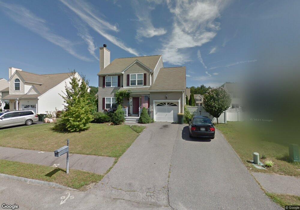
13 Canter Ln Franklin, MA 02038
Estimated Value: $500,110 - $640,000
3
Beds
2
Baths
1,873
Sq Ft
$315/Sq Ft
Est. Value
About This Home
This home is located at 13 Canter Ln, Franklin, MA 02038 and is currently estimated at $590,028, approximately $315 per square foot. 13 Canter Ln is a home located in Norfolk County with nearby schools including John F. Kennedy Memorial School, Horace Mann Middle School, and Franklin High School.
Ownership History
Date
Name
Owned For
Owner Type
Purchase Details
Closed on
Jul 17, 1998
Sold by
Beech Street Corp
Bought by
Frnkln Ptnr Jnt Vntr
Current Estimated Value
Create a Home Valuation Report for This Property
The Home Valuation Report is an in-depth analysis detailing your home's value as well as a comparison with similar homes in the area
Purchase History
| Date | Buyer | Sale Price | Title Company |
|---|---|---|---|
| Frnkln Ptnr Jnt Vntr | $5,000 | -- |
Source: Public Records
Mortgage History
| Date | Status | Borrower | Loan Amount |
|---|---|---|---|
| Open | Frnkln Ptnr Jnt Vntr | $124,950 |
Source: Public Records
Tax History
| Year | Tax Paid | Tax Assessment Tax Assessment Total Assessment is a certain percentage of the fair market value that is determined by local assessors to be the total taxable value of land and additions on the property. | Land | Improvement |
|---|---|---|---|---|
| 2025 | $3,973 | $341,900 | $111,800 | $230,100 |
| 2024 | $3,581 | $303,700 | $111,800 | $191,900 |
| 2023 | $3,400 | $270,300 | $103,400 | $166,900 |
| 2022 | $3,376 | $240,300 | $93,200 | $147,100 |
| 2021 | $3,308 | $225,800 | $87,400 | $138,400 |
| 2020 | $3,320 | $228,800 | $100,900 | $127,900 |
| 2019 | $3,131 | $213,600 | $85,700 | $127,900 |
| 2018 | $2,986 | $203,800 | $89,100 | $114,700 |
| 2017 | $2,899 | $198,800 | $84,100 | $114,700 |
| 2016 | $2,951 | $203,500 | $90,800 | $112,700 |
| 2015 | $2,834 | $191,000 | $78,300 | $112,700 |
| 2014 | $2,579 | $178,500 | $65,800 | $112,700 |
Source: Public Records
Map
Nearby Homes
- 4 Linda Ln
- 18 Mary Anne Dr
- 20 Hawthorne Village Unit A
- 60 Pine St
- 462 Hartford Ave
- 44 Arapahoe Rd
- 8 Apache Rd
- 1391 Pond St
- 56 Puddingstone Ln
- 10 Franklin St
- 21 Maple St
- 6 Freedom Trail
- 17 Pine St
- 2 Kingson Ln Unit 2
- 6 Kingson Ln Unit 2
- 8 Woodhaven Dr
- 29 Hancock Rd
- 22 Granite St
- 19 Evergreen St Unit A
- 8 Winthrop St
- 11 Canter Ln
- 15 Canter Ln
- 17 Palomino Dr
- 15 Palomino Dr
- 19 Palomino Dr
- 12 Canter Ln
- 17 Canter Ln
- 9 Canter Ln
- 10 Canter Ln
- 14 Canter Ln
- 0 Lot 49 Canter Ln Unit 50379378
- 13 Palomino Dr
- 21 Palomino Dr
- 0 Lot 53 Canter Ln Unit 50379377
- 16 Canter Ln
- 8 Canter Ln
- 7 Canter Ln
- 7 Derby Ln
- 23 Palomino Dr
- 5 Derby Ln
Your Personal Tour Guide
Ask me questions while you tour the home.